
Scotland
Cape Wrath
Britain's northwest corner — a lighthouse beyond a military bombing range where nobody goes.
A passenger ferry across the Kyle of Durness, then a minibus across a live military bombing range — that's the only way to reach Cape Wrath, Britain's remote northwestern extremity. The lighthouse has stood since 1828 on cliffs where the Atlantic and North Sea collide in a permanent state of argument.
Cape Wrath is the most northwesterly point on the British mainland, its name deriving from the Old Norse 'hvarf' meaning turning point — the headland where Viking ships rounded Scotland's northwest corner. The Ministry of Defence uses the surrounding 107 square miles as a naval bombardment range, which is why there is no road — the area is closed to all traffic when firing is live. The passenger ferry and minibus service runs in summer only, weather permitting, and the journey itself is part of the experience. The lighthouse sits 120 metres above the sea on cliffs that support nesting fulmars, razorbills, and puffins. The Cape Wrath Trail, a 200-mile walking route from Fort William, ends here.
Solo
The Cape Wrath Trail's final miles, arriving at the lighthouse after days of walking, is one of Britain's great solo achievements. Even the day trip via ferry and minibus rewards the determined lone traveller.
- A passenger ferry and a minibus are the only way to reach Britain's remote north-western extremity.
- The Ministry of Defence uses the surrounding moors as a live bombing range — closed signs mean it.
- The lighthouse has stood since 1828 on cliffs where the Atlantic and North Sea collide.
- The name comes from Old Norse 'hvarf' meaning turning point — Vikings rounded this headland.
There is no food at Cape Wrath. Carry everything. The nearest meal is the Durness pub, a ferry ride back.
Cape Wrath Hotel (when open) may serve soup and sandwiches — but don't count on it.
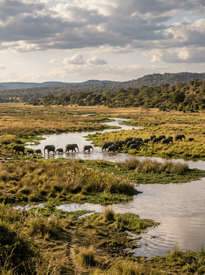
Moyowosi-Kigosi Game Reserve
Tanzania
East Africa's largest papyrus wetland, a green labyrinth where sitatunga wade and nobody ventures.

El Impenetrable
Argentina
Thorn forest so dense it stopped colonial armies, now sheltering jaguars in Argentina's wildest Chaco.

Hollyford Valley
New Zealand
A valley so remote a bush airstrip is the only alternative to three days on foot.

Parque Nacional Yendegaia
Chile
A national park with no trails and no visitors — just fjords and lenga forest.

Falls of Glomach
Scotland
A 113-metre waterfall hidden in a gorge so remote the walk in takes half a day.

Kintail
Scotland
Five ridges fall in parallel from cloud into the sea loch like a giant hand opening.

Hoy
Scotland
A 137-metre sandstone stack stands alone in the Atlantic, defying every storm for four hundred years.

Loch Coruisk
Scotland
A loch locked inside the Cuillin mountains, reachable only by sea, the water black and still.