
United States
Columbia River Gorge
Seventy-seven waterfalls cascading down the Oregon side of a canyon carved by ice age floods.
Waterfalls drop from both sides of the canyon in silver threads that vanish into mist before they reach the river. The gorge funnels wind so hard that kitesurfers skip across whitecaps at Hood River while hikers on the Oregon side feel spray from Multnomah Falls a hundred feet away. Green walls of basalt rise on either side, scarred by ice-age floods that carved this corridor to the sea.
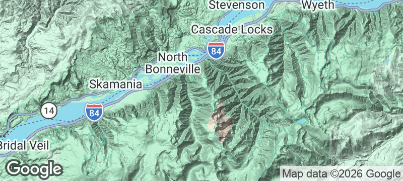
The Columbia River Gorge stretches 80 miles along the Oregon-Washington border, cut through the Cascade Range by the Columbia River and catastrophically widened by the Missoula Floods roughly 15,000 years ago. The Oregon side alone holds 77 named waterfalls, including Multnomah Falls — a 620-foot, two-tiered cascade visible from the Historic Columbia River Highway without leaving your car. That highway, built in 1916, was engineered specifically to preserve the waterfall viewpoints; its masonry viaducts and stone-walled overlooks remain driveable today. Crown Point Vista House, a Baroque observatory on a 733-foot basalt promontory, offers views spanning the full width of the gorge. Hood River at the eastern end has become North America's premier windsurfing and kiteboarding destination, where the gorge's funnel effect accelerates wind to consistent 20-knot conditions from spring through autumn.
Friends
Hood River's combination of wind sports, craft breweries, and cider houses makes this a natural gathering point. Kiteboarding all day and eating wood-fired salmon at a gorge-side taproom all evening is a weekend template that never gets old.
Couple
Driving the Historic Highway past waterfall after waterfall, stopping at Crown Point for the panorama, then ending in Hood River for dinner and local wine is a day that builds rather than peaks — every mile adds something.
Family
Multnomah Falls is accessible on a short, paved trail, and the fruit orchards above the gorge offer pick-your-own apple and pear experiences in season. The waterfalls alone can fill a full day of easy stops.
- Multnomah Falls drops 620 feet in two tiers and is visible from the Historic Columbia River Highway without leaving the car — the second tier is reached by a 0.4-mile paved trail.
- The Historic Highway, built in 1916, was engineered specifically to preserve the waterfall viewpoints — its viaducts and masonry overlooks are intact and driveable today.
- Hood River at the gorge's eastern end is North America's premier windsurfing and kiteboarding destination — the funnel effect accelerates wind to consistent 20-knot conditions.
- Crown Point Vista House, a German Baroque observatory built in 1917 on a 733-foot basalt promontory, overlooks the full width of the gorge in both directions.
Hood River pears and apples fresh from orchards above the gorge.
Craft cider from a gorge-side taproom with waterfall mist in the air.
Wood-fired salmon at a brewery overlooking the kiteboarding capital of the West.

Jeongseon
South Korea
Abandoned mining railways pedalled by tourists through dark mountain tunnels and deep river gorges.

Cederberg
South Africa
Sandstone arches and San rock art older than the pyramids, wild rooibos growing between the boulders.

Arouca
Portugal
A 516-metre suspension bridge sways 175 metres above a river gorge — Portugal's vertigo capital.

Coloured Canyon
Egypt
Sandstone walls rippling in rust, ochre, and violet, narrow enough to touch both sides.

Great Sand Dunes
United States
Dunes taller than any in North America rising against snow-capped fourteen-thousand-foot peaks.

Acadia National Park
United States
First sunrise in America hitting pink granite while waves explode in Thunder Hole.

Yellowstone
United States
Earth exhaling through turquoise pools while bison block the only road ahead.

Kenai Fjords
United States
Exit Glacier retreating in real time — the markers show where it stood each decade.