
South Africa
Mbotyi
Waterfalls, forest and empty beaches line a community-guided stretch of Pondoland coast.
A river falls through coastal forest while the Indian Ocean opens beyond green cliffs. Footpaths vanish into grassland long before the next empty beach appears.
Mbotyi is a journey base, not a single waterfall pin. Community-guided days connect coast, forest and villages across terrain where maps alone reveal very little. Lodge meals and route knowledge remove the logistics while keeping local people inside the story.
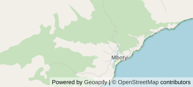
Map data © OpenStreetMap contributors · Powered by Geoapify
Solo
Join the established guided walk and let the lodge handle transfers, meals and route knowledge; remote coast is not a place to improvise alone.
Friends
Book several hiking days so waterfalls, villages and beaches unfold separately, with the shared meals removing logistics from each evening.
- Mbotyi anchors multi-day guided walks along the northern Wild Coast.
- May to August is the drier prime hiking season.
- Waterfalls, cliffs, beaches and villages provide several days of depth.
- The Sardine Run adds seasonal marine activity without being guaranteed.
Tea grows just inland: Magwa at Lusikisiki is the southern hemisphere's largest tea estate.
When the ocean allows, oysters and crayfish come off the rocks and go straight over the coals.
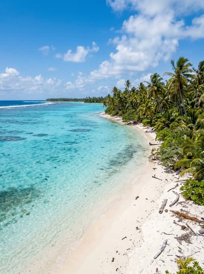
Abaiang
Kiribati
At high tide the sea surrounds Tebunginako's church; the village choir times services around it.
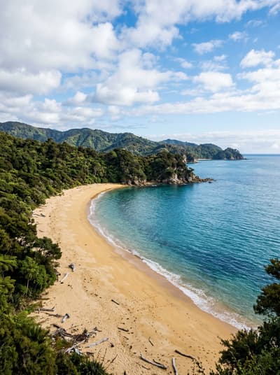
Abel Tasman National Park
New Zealand
Golden bays between forested headlands, reached only on foot, by kayak or water taxi.
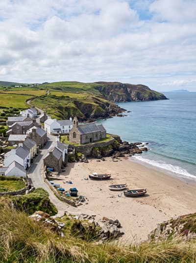
Aberdaron
Wales
A church on the sand where pilgrims ate their last meal before the island crossing.
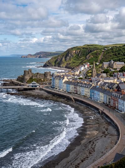
Aberystwyth
Wales
Starlings swirl under the pier at dusk, a cliff railway climbs, the national library watches.
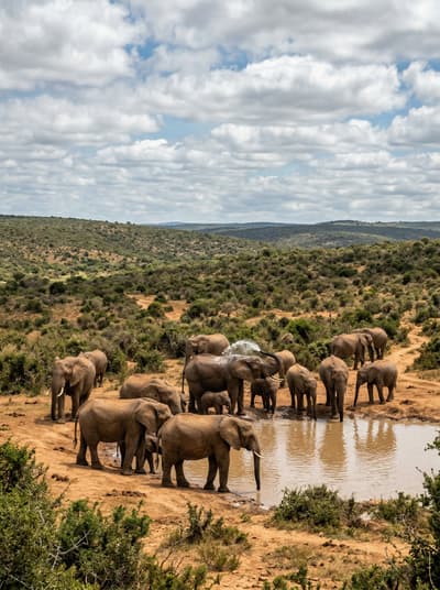
Addo Elephant National Park
South Africa
Elephants gather at a dust-ringed waterhole close enough to hear each breath.
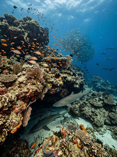
Aliwal Shoal
South Africa
Ragged-tooth sharks hover above a fossil dune reef washed by warm current.
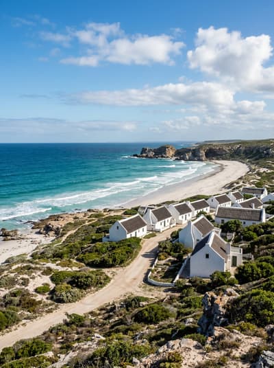
Arniston
South Africa
A tidal cave hides beneath whitewashed cottages, broad enough for an ox wagon.
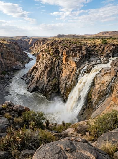
Augrabies Falls National Park
South Africa
Aukoerebis takes its name from the roar as the Orange River plunges fifty-six metres.