Canada
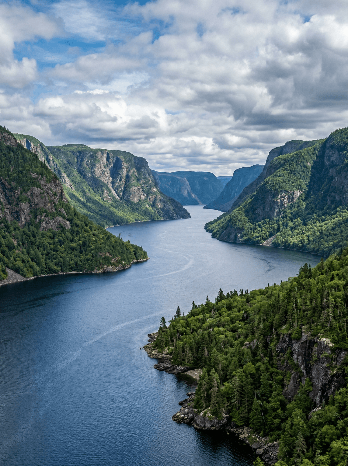
Saguenay Fjord
Dark water runs between towering forested walls where an inland sea empties toward the St Lawrence.
Cliffs rise straight from water stained deep with boreal tannin. A kayak feels the scale most honestly, because the walls keep coming.
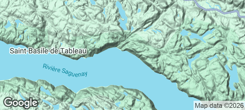
The Saguenay's glacial trench carries fjord water far inland, guarded by capes and villages that stay small against the landscape. Ferries, kayak routes and the national park's trails work both shores, while L'Anse-Saint-Jean adds a heritage fishing camp turned cooperative brewery. Belugas surface in the protected marine park at the mouth.
Couple
Split the fjord between a kayak day and a cape lookout, ending at the cooperative brewery.
Solo
Village bases and marked trails let a solo traveller work both shores unhurried.
Friends
A group can divide paddling from hiking and reunite over terroir plates at L'Anse-Saint-Jean.
- A glacial trench carries true fjord water far inland between forested walls.
- Capes, ferries and kayak routes work both shores at every scale of effort.
- A heritage fishing camp at L'Anse-Saint-Jean now brews and cooks the region's terroir.
La Chasse-Pinte at L'Anse-Saint-Jean, a cooperative in a heritage fishing camp, brews its own beers and cooks Saguenay terroir with the fjord in view.
Village quays add the simpler end: chowder, cheese and bread eaten by dark water.
Lake Tortum
Turkey
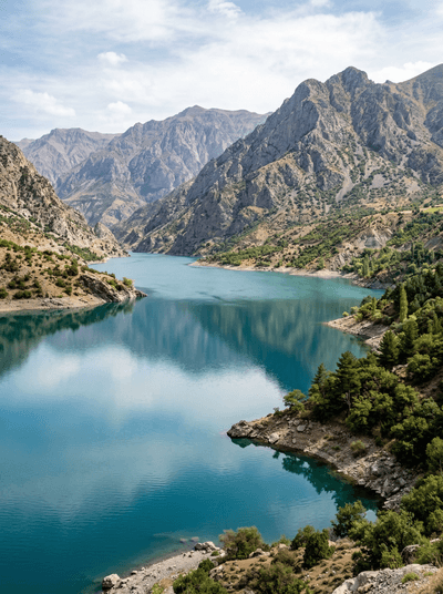
A turquoise lake behind a landslide dam, whose 48-metre waterfall thunders as the spring melt spills.
Wilsons Promontory
Australia
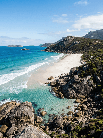
After dark, wombats take over the campground where mainland Australia runs out in granite.
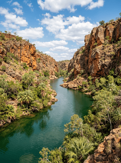
Boodjamulla (Lawn Hill Gorge)
Australia
Spring-fed turquoise water cuts through red Gulf sandstone on Waanyi Country.
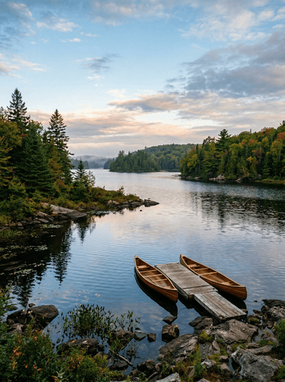
Kejimkujik National Park
Canada
Dark lakes and old portage routes carry Mi'kmaw history beneath star-rich skies.
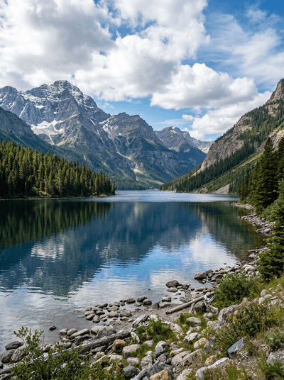
Waterton Lakes
Canada
Prairie runs straight into mountain walls beside a deep, wind-bright lake.
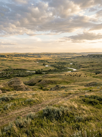
Grasslands National Park
Canada
Unploughed prairie runs to the horizon where bison graze beneath some of Canada's darkest skies.
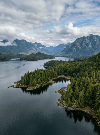
Clayoquot Sound
Canada
Whales work island channels below forest that has never been cut.