South Korea
Somaemuldo
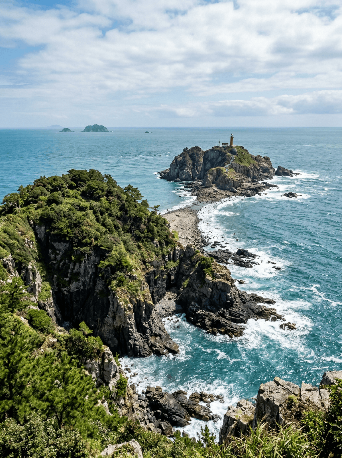
At low tide a boulder path surfaces between the island and its lighthouse.
The tide drops and the boulders emerge, a rough causeway linking Somaemuldo to the lighthouse island across open water. Slippery rock, seaweed, no handrails; when the sea returns, the path is gone.
Somaemuldo sits in the Hallyeohaesang maritime park, a tiny island where a steep path climbs from the ferry quay to open viewpoints and, at published low tides, a boulder crossing surfaces to Deungdaedo and its colonial-era lighthouse. The crossing is rough and utterly tide-bound, and the return ferry is never gambled against it. Footpaths link the scattered fishing houses; there are no roads to speak of, which is much of the island's charm.
Friends
Friends should calculate the tide window together and appoint one person to guard the return-ferry cutoff.
Couple
Two can share the steep climb and coastal reveal without risking the tidal crossing when timings tighten.
- A boulder path to the lighthouse island surfaces at low tide.
- The colonial-era lighthouse still operates.
- Footpaths, not roads, join the fishing houses.
- The tide table rules the crossing absolutely.
Somaemuldo has small-island restaurants rather than a dependable food district, so confirm lunch service after checking the ferry and tide.
A safer plan is to carry a meal and eat Tongyeong seafood hotpot or Chungmu gimbap back at the mainland harbour.
Manuel Antonio
Costa Rica
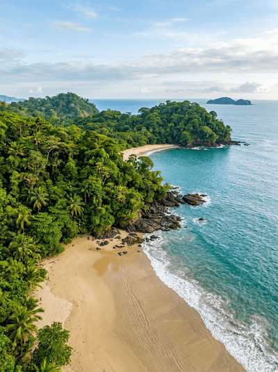
Capuchins patrol the sand beneath dozing sloths where rainforest walks into the ocean.
Vaitupu
Tuvalu
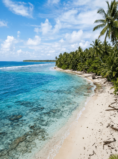
Tuvalu's largest island, where traditional sport te ano sends two woven balls flying at once.
Tortuguero
Costa Rica
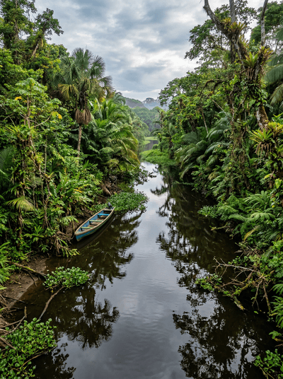
Jungle canals where green sea turtles haul onto black volcanic sand under a moonless sky.
Kadavu
Fiji
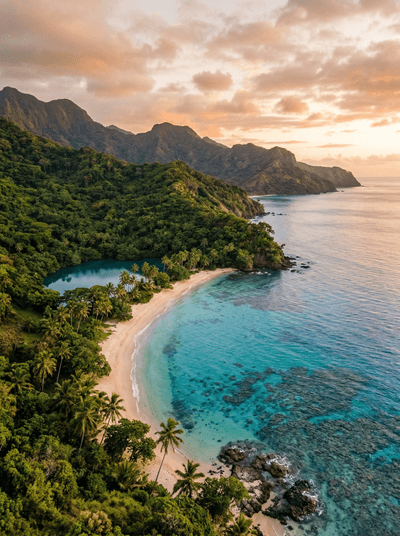
Manta rays circle the world's fourth-largest barrier reef, off villages the road barely reaches.
Gyeongju
South Korea
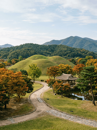
Grass-covered royal tombs the size of hills rise unfenced among city streets.
Buyeo
South Korea
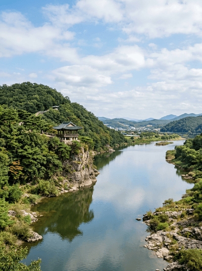
Lotus flowers choke the pond of a kingdom that fell fourteen centuries ago.
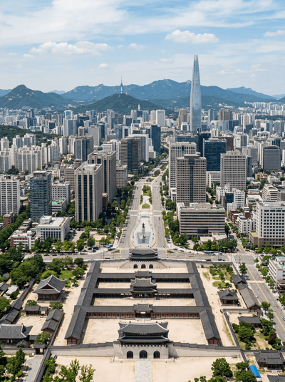
Seoul
South Korea
Sesame smoke and midnight neon run right up to the walls of Joseon palaces.
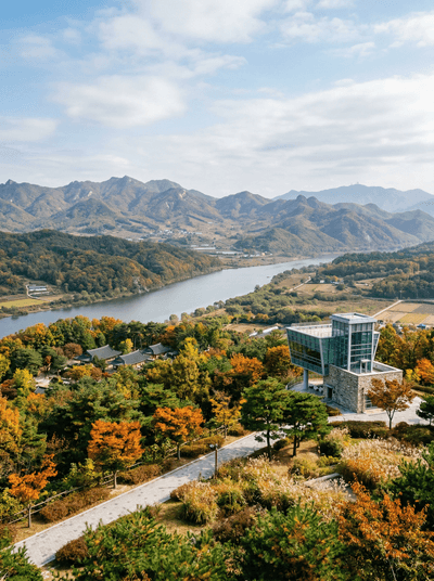
Paju
South Korea
At Imjingak the bridge stops mid-river, and the ribbons on the fence face north.