Australia
Bay of Fires
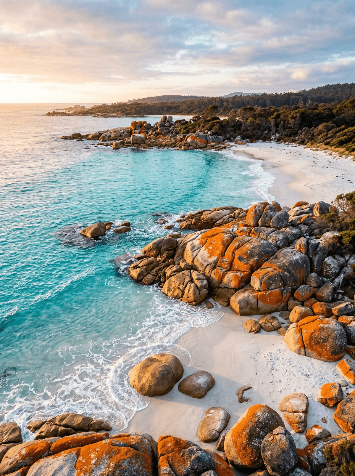
Orange lichen burns across granite beside clear, cold water on Tasmania's north-east coast.
Orange lichen burns across granite beside cold, clear Tasmanian water. The Bay of Fires is not one beach but a coastal sequence of headlands, coves and walking routes whose colour changes with every patch of cloud.
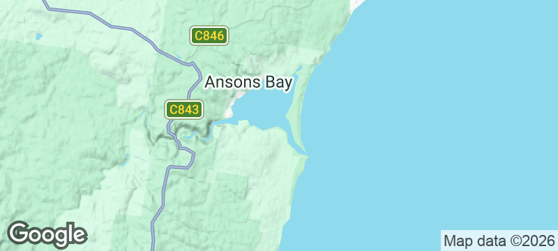
The Bay of Fires Conservation Area follows Tasmania's north-east coast through headlands, coves and campsites rather than one continuous beach. Orange lichen on granite creates its famous colour contrast, while Aboriginal history and the colonial name's origin require more context than a postcard label. Roads reach several sections and guided multi-day walks cover others; cold water, surf, fire restrictions and campsite rules all vary along the coast.
Solo
Choose a formed coastal section or guided walk and plan cold-water, weather and camp conditions before wandering.
Couple
Pair a coastal walk with a lodge or legal campsite, leaving time for changing light across the granite.
- Orange lichen on granite contrasts sharply with the clear water and pale sand.
- Headlands, coves, campsites and walking sections create several ways to explore the conservation area.
- Rock pools support small marine life that should be observed without handling or trampling.
- Road-accessible coves and guided walking sections reveal different scales of the coast.
Tasmanian seafood at Binalong Bay or St Helens after the coastal walk.
A packed lunch eaten at a designated picnic or camp area, away from fragile rock-pool life.
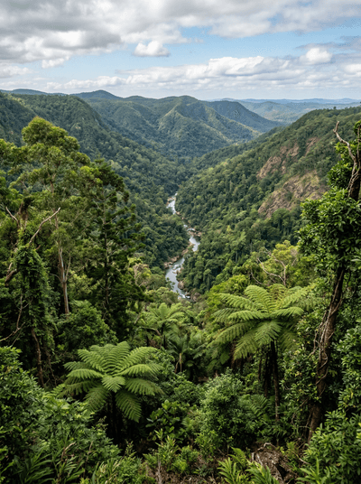
Eungella National Park
Australia
Wait in dawn mist and Broken River may answer with a platypus.
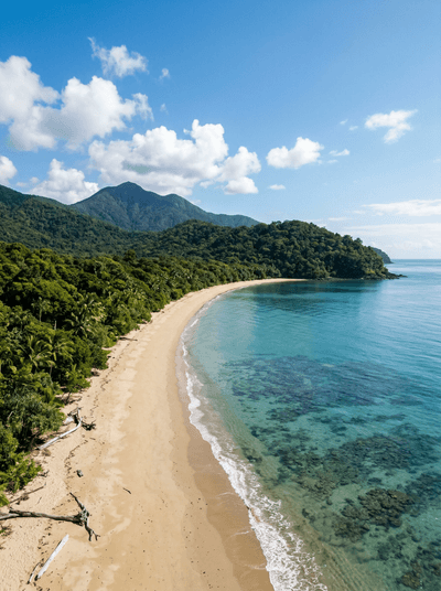
Cape Tribulation
Australia
Rainforest runs out of land where mangroves, beach and reef coast collide.
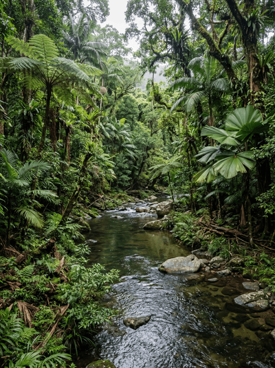
Daintree Rainforest
Australia
Warm rain drums on fan palms where ancient plant lineages still crowd the canopy.
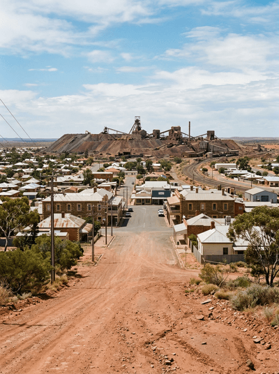
Broken Hill
Australia
Twelve sandstone sculptures on a hilltop where the outback stretches to a vanishing point.