
England
Hadrian's Wall
Roman stones marching across empty moor, still drawing the line after two thousand years.
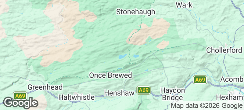
The wall rides the Whin Sill ridge like a stone spine drawn across England, and at Sycamore Gap the most photographed tree in England stands in the dip between two crags. Hadrian's Wall in Northumberland and Cumbria is the Roman Empire's most atmospheric frontier — 73 miles of ambition, engineering, and the edge of the known world.
Construction began in 122 AD on the orders of Emperor Hadrian, and the wall took approximately six years to complete. At its peak, it was garrisoned by 9,000 auxiliary soldiers drawn from across the Empire — Batavians, Tungrians, Hamians — who left graffiti, altars, and personal belongings that are still being excavated. The Hadrian's Wall Path National Trail follows the full route from Wallsend to Bowness-on-Solway, but the most dramatic section runs between Housesteads and Steel Rigg, where the wall undulates over crags with views north into what was once hostile territory. Vindolanda, a fort predating the wall, has yielded the Vindolanda tablets — the oldest surviving handwritten documents in Britain, including a birthday party invitation from a Roman officer's wife. Housesteads (Vercovicium), the best-preserved auxiliary fort on the Wall, sits on the ridge between these two points. Its communal latrines — the best-preserved Roman toilets in Britain — face the moor, and the granaries still show their underfloor ventilation. A murder victim's skeleton, found beneath the floor of one building, is among the most human of the fort's many excavated details.
Solo
Walk the wall from Housesteads to Steel Rigg and you walk the edge of Empire. The crags, the wind, and the views north into emptiness create a solitude that the Romans themselves would have recognised.
Couple
The wall combines romantic landscape with genuine historical depth. Stay at one of the farmhouse B&Bs along the route, walk the dramatic central section, and visit Vindolanda for the human detail that brings the Empire to life.
Friends
The 84-mile coast-to-coast trail is a week's walking that builds shared memories with every mile. The pubs and bothies along the route provide the rhythm — walk, eat, sleep, repeat.
Family
The latrines, the granaries, the Wall itself — Housesteads fort makes Roman life physical. Children understand empire differently when they stand where soldiers stood, looking north into territory Rome never tamed.
- The wall rides the Whin Sill ridge like a stone spine — at Sycamore Gap, the most photographed tree in England stands in a dip between crags.
- Roman forts, milecastles, and turrets punctuate the route, each with interpretive panels that bring frontier life into focus.
- The 84-mile National Trail can be walked end-to-end in a week, or sampled in dramatic day sections from Housesteads or Steel Rigg.
- Shepherds' bothies and farmhouse B&Bs along the wall route offer simple accommodation with nothing between you and the stars.
- Housesteads fort, the most complete auxiliary fort on the Wall, preserves communal latrines, granaries, and a murder victim's skeleton found beneath the floor — the domestic details make the Empire feel intimate.
Lamb shank at the Twice Brewed Inn, named for the strong ale the Roman legions demanded.
Northumberland cheese and oatcakes from the honesty box at a wall-side farm.

Usambara Mountains
Tanzania
Mist-wrapped tea estates cascade into cloud forest harbouring species found nowhere else on Earth.

Chitral
Pakistan
Hindu Kush walls rising 7,700 metres above polo grounds where horsemen play without rules or saddles.

Cuetzalan
Mexico
A cloud-wrapped mountain town where Totonac voladores leap from a pole above the cathedral every Sunday.

Mungyeong Saejae
South Korea
Three stone gates guarding a dirt mountain pass that Joseon scholars walked to the capital.

York
England
Viking streets and medieval snickelways where every alley hides a different century.

Oxford
England
Gargoyles stare from spires so dense the skyline looks like a stone forest.

Tintagel
England
Cliff-edge ruins where Arthurian legend bleeds into the sea spray and the rock face.

Glastonbury
England
Where ley lines cross, Arthur allegedly sleeps, and the veil feels genuinely thin.