
England
Mam Tor
The Shivering Mountain — a ridge that crumbles in slow motion above a broken road.
The ridge crumbles in geological slow motion, taking the old road with it, while the path along the summit holds firm above the broken tarmac below. Mam Tor in the Peak District, Derbyshire, is the Shivering Mountain — a ridge so unstable it destroyed a main road and a Bronze Age fort, and so compelling it draws walkers who don't mind the ground moving beneath them.
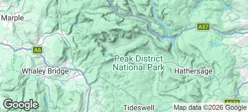
Mam Tor rises to 517 metres at the head of the Hope Valley, its eastern face a series of landslip scars where alternating bands of shale and gritstone collapse under their own weight. The A625, built across the base of the landslip, was abandoned in 1979 after repeated repairs failed to hold the moving ground — the broken road surface is now a monument to the mountain's instability. The summit holds the remains of a Bronze Age and Iron Age hillfort, one of the highest in England. The Great Ridge Walk from Mam Tor to Lose Hill follows the ridge above Castleton, with Edale to the north and the Hope Valley to the south. The walk connects to Castleton's show caves — Peak Cavern, Speedwell Mine, Treak Cliff Cavern — making a circular route that covers both surface and underground geology.
Solo
Walk the ridge alone when the cloud base sits at summit level and the valleys vanish below. The broken road at the base, visible from above, tells the mountain's story in fractured tarmac.
Couple
The Great Ridge Walk is one of the finest short ridge walks in England — exposed enough to thrill, sheltered enough to talk. End in Castleton for a pub supper beneath the castle.
Friends
Combine the ridge with Castleton's caves for a day that covers the Peak District above and below ground. The scramble, the views, and the underground — the conversations write themselves.
- The Shivering Mountain's ridge crumbles in geological slow motion — the ruined A625 road below is a piece of infrastructure defeated by nature.
- The ridge walk from Mam Tor to Lose Hill is exposed, wind-blasted, and exhilarating — the views stretch from Kinder Scout to the Hope Valley.
- The Iron Age hill fort on the summit is 3,000 years old — the ditches and ramparts are still visible beneath the grass.
- The paragliders who launch from the ridge in favourable winds add a surreal layer to an already dramatic landscape.
Cheese and onion cob from the Hope Valley bakery, eaten on the ridge with wind in your teeth.
The Cheshire Cheese Inn at Hope pours pints beneath beams blackened by centuries of smoke.

Kamikochi
Japan
Turquoise river slicing through an alpine cathedral closed to cars year-round.

Cape Breton Highlands
Canada
The Cabot Trail corkscrews along sea cliffs where whales breach below and moose graze the ridgeline.

Arthur's Pass
New Zealand
An alpine village where kea parrots shred car windscreens in the shadow of plunging waterfalls.

Tongariro Alpine Crossing
New Zealand
Emerald lakes glow in the craters of an active volcano on a moonscape ridge walk.

Bristol
England
Street art erupts from harbour walls where Banksy's ghost still prowls.

Brighton
England
Regency excess meets punk rebellion on a pebble beach that never sleeps.

Bedruthan Steps
England
Sea stacks like broken teeth guard a beach only accessible at low tide.

Glastonbury
England
Where ley lines cross, Arthur allegedly sleeps, and the veil feels genuinely thin.