
Canada
Pacific Rim National Park Reserve
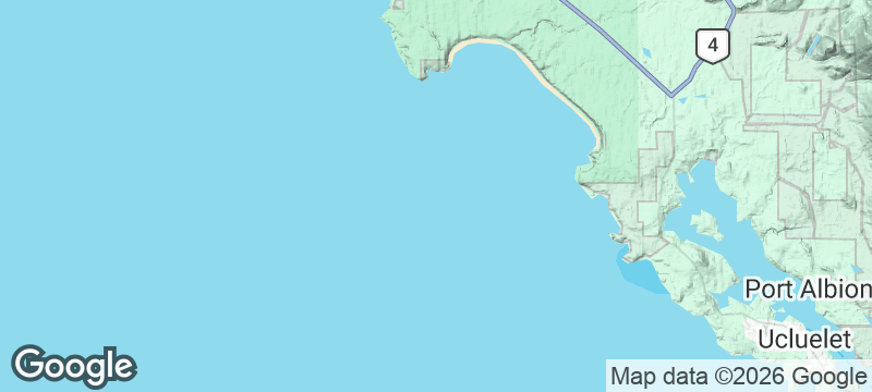
Cold surf, cedar rainforest and kilometres of open sand line Vancouver Island's exposed shore.
Long Beach runs out of sight under Pacific weather that never quite settles. Board-carriers cross from the forest fringe in seven-degree neoprene.
The park's Long Beach unit strings surf beaches, bog trails and rainforest boardwalks between Tofino and Ucluelet. Surfing here is year-round and unsupervised, with cold water, real currents and no lifeguards, while storm season turns watching into the sport. Bears, wolves and cougars share the margins; food storage rules exist for reasons.
Solo
Beach miles and boardwalk loops need no plan beyond the tide table.
Couple
Walk Long Beach into its weather and warm up in the forest fringe.
Friends
Surf-capable friends get year-round breaks with no lifeguards and no crowds.
- Long Beach strings surf, bog and rainforest between the two towns.
- Year-round surf runs cold, current-strong and unsupervised.
- Bears, wolves and cougars hold the margins.
The park itself is picnic country; provision in Tofino or Ucluelet at either end.
Campground food storage is mandatory; the coast's carnivores are not hypothetical.
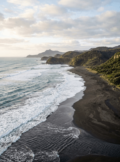
Raglan
New Zealand
One of the world's longest left-hand breaks rolling toward a black-sand harbour town.
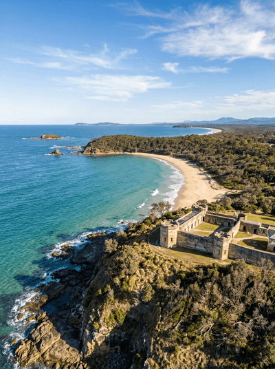
South West Rocks
Australia
Grey nurse sharks circle through underwater caves beneath a convict-built granite gaol on the headland.
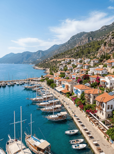
Kaş
Turkey
Lycian tombs glow orange at sunset above a harbour where sea kayaks launch toward sunken ruins.
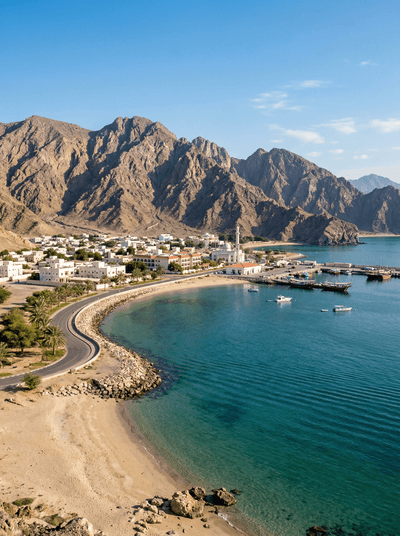
Dibba
United Arab Emirates
One bay, two countries, three jurisdictions: fishing dhows work the borders beneath Hajar cliffs.
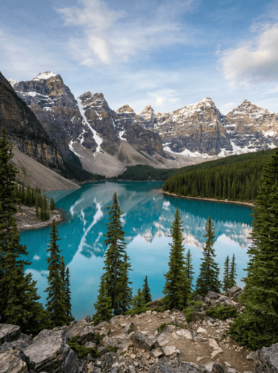
Banff
Canada
Canada's first national park began as a bathhouse, and you can still take the waters.
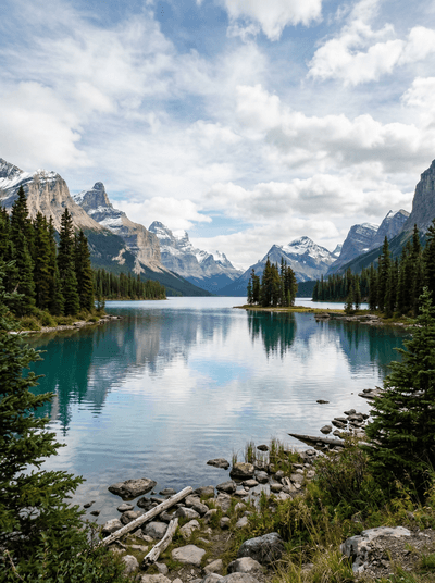
Jasper
Canada
The whole town sits inside the world's second-largest dark-sky preserve.
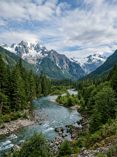
Bella Coola
Canada
A glacier-walled valley drops from the Chilcotin to a Nuxalk river town at tidewater.
Kejimkujik National Park
Canada
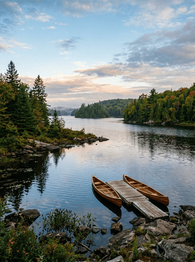
Dark lakes and old portage routes carry Mi'kmaw history beneath star-rich skies.