Canada
Bella Coola
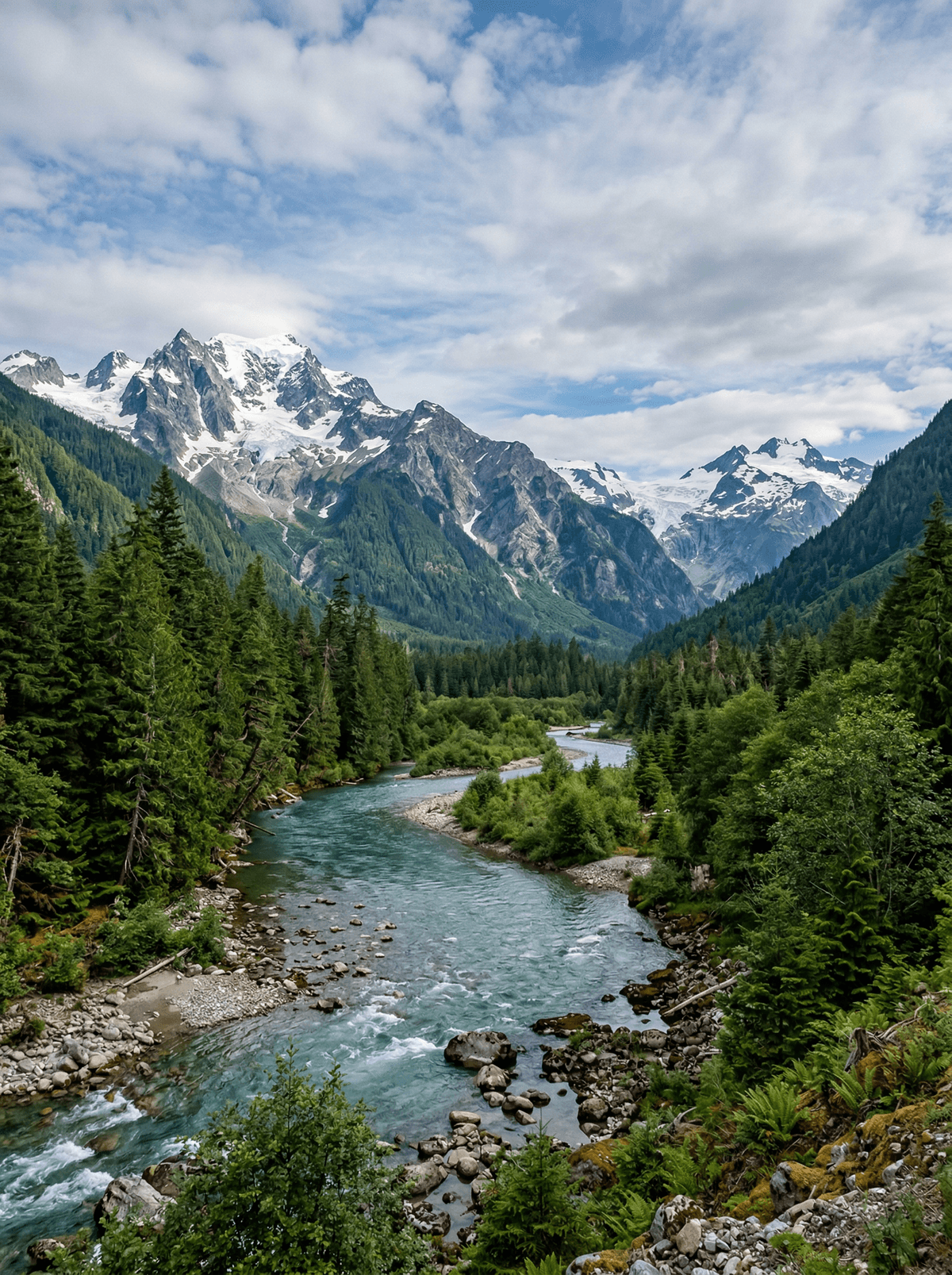
A glacier-walled valley drops from the Chilcotin to a Nuxalk river town at tidewater.
The road descends 'the Hill' in gravel switchbacks with the valley floor a world below. At the bottom, petroglyphs and salmon runs mark older roads entirely.
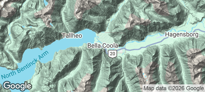
Bella Coola's valley runs from interior plateau to Pacific inlet through Nuxalk territory, whose eulachon-grease trade routes once reached the Rockies. Grizzlies fish the autumn runs while petroglyph walks and cultural tours carry the living history. The drive in, or out, is itself one of Canada's great road commitments.
Solo
The drive, the petroglyphs and the guided bear stands make a self-contained epic.
Friends
A shared vehicle halves the Hill's nerves and doubles the valley's evenings.
Couple
Come in the salmon window and share the bear stands while the valley empties.
- The valley drops from plateau to tidewater through Nuxalk territory.
- Eulachon-grease trade routes once ran from here to the Rockies.
- Autumn salmon put grizzlies on the river.
Valley cafés bake fresh for the road's arrivals and departures.
The Bella Coola Valley Inn's restaurant serves local cooking in the valley itself; the Nuxalk grease trails remain history to honour, never a menu item.
Rishikesh
India
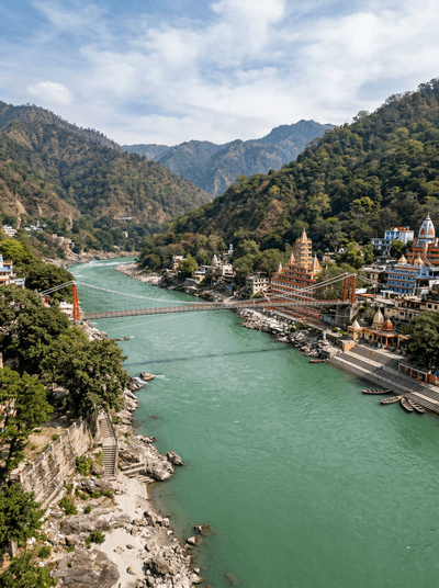
White-water thundering out of the Himalayan foothills toward ghats where sadhus meditate at dawn.
Zanskar Valley
India
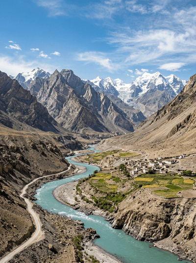
Cliff-clinging monasteries above a frozen river that was for centuries the only winter road.
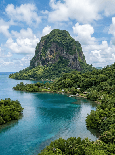
Sokehs Rock
Micronesia
A magician's stone plugged a geyser here, says legend; the climb is bare basalt and rope.
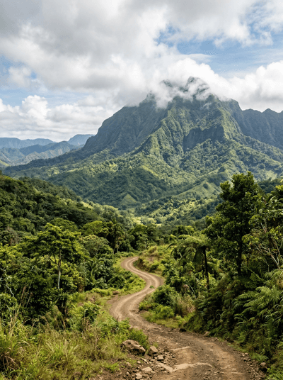
Tomanivi
Fiji
Cloud forest so thick the trail vanishes, Fiji's highest peak at 1,324 metres above the canopy.
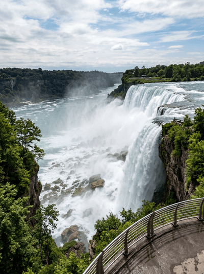
Niagara Falls
Canada
A river the size of a sea pours over the Horseshoe metres from the promenade rail.
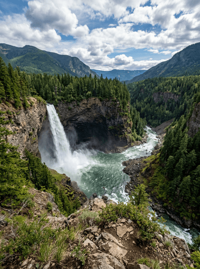
Wells Gray Provincial Park
Canada
Waterfalls on a volcanic scale pour through a park most itineraries still miss.
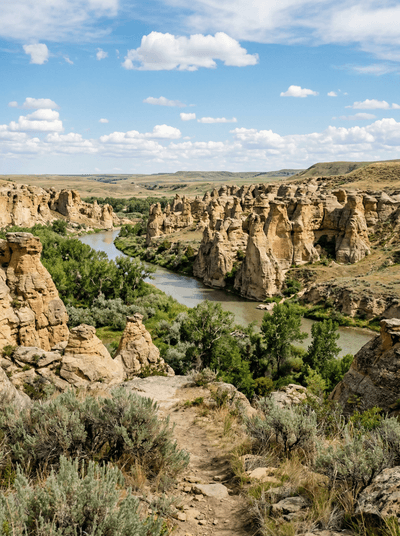
Writing-on-Stone Provincial Park
Canada
Hoodoos guard the Great Plains' largest concentration of rock art above the Milk River.
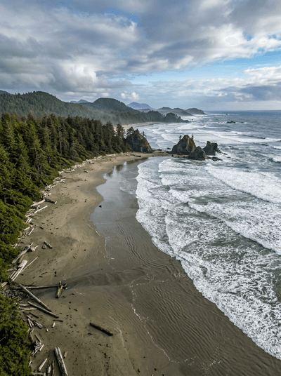
Pacific Rim National Park Reserve
Canada
Cold surf, cedar rainforest and kilometres of open sand line Vancouver Island's exposed shore.