Chile
Parque Nacional Conguillío
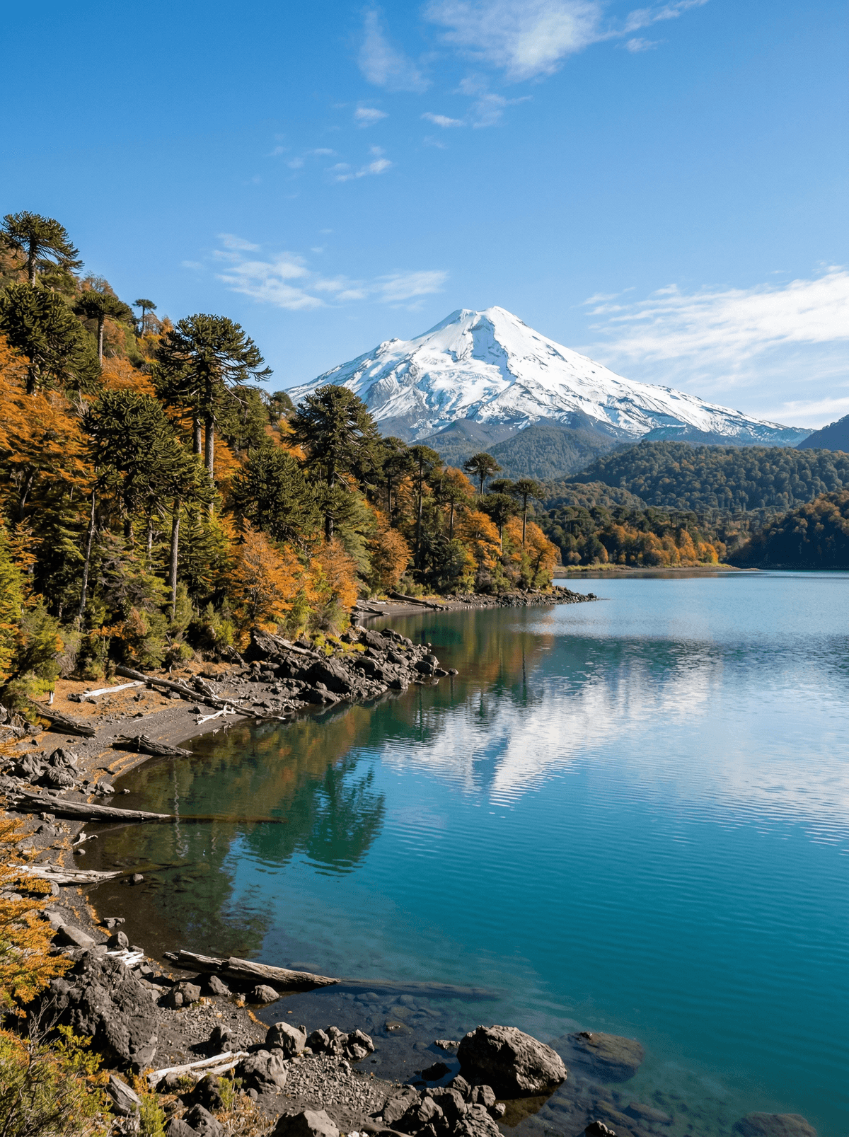
Araucaria crowns stand over black lava and clear lakes beneath Volcán Llaima.
Old trees cast spiked shadows across ash-dark ground. Between them, lake water reflects the broad cone of Llaima.
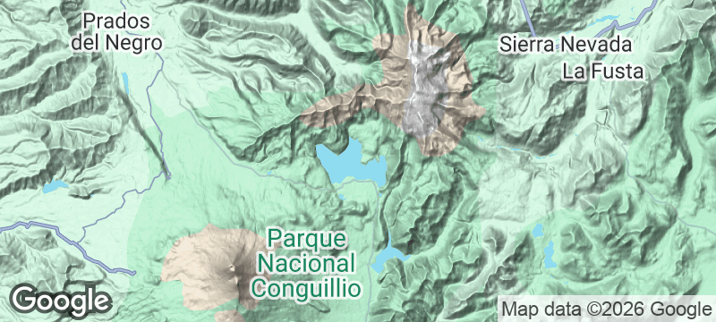
Conguillío brings araucaria forest, lava fields and lakes into one coherent volcanic landscape. Road conditions and seasonal closures decide which sectors connect, while authorised trails offer both short and demanding ways in. The drama comes from living forest against recent geology, not invented petrified trees.
Couple
Link an araucaria walk with a lake viewpoint, using road status to keep the day coherent.
Family
Short authorised trails show children lava, old trees and water without requiring a summit objective.
- Conguillío brings araucaria forest, lava fields, lakes and views of Llaima into one national-park circuit.
- Sector roads open and close with the seasons, deciding which sides of the park connect.
- Authorised trails cross both ancient forest and young volcanic ground within a single day.
Around Melipeuco, piñones — the araucaria's seeds — are ground into flour in Mapuche kitchens, and merkén seasons the plates.
Ruta al Conguillío, beside the lake and the park post, serves these flavours inside the park.
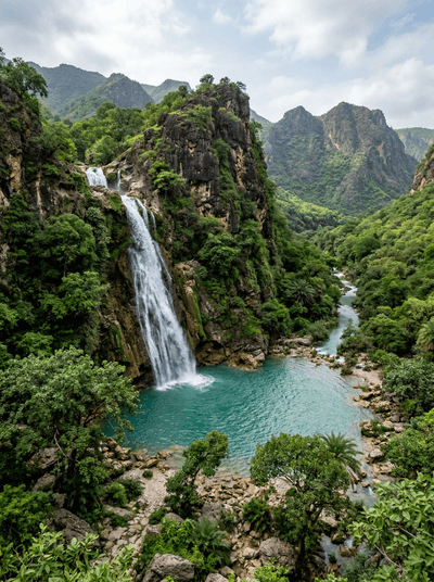
Wadi Darbat
Oman
From late June the waterfall comes over the escarpment and camels graze between the pools.
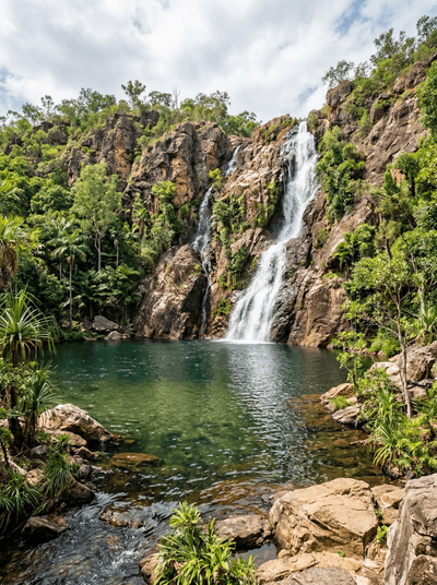
Litchfield National Park
Australia
Termite mounds stand edge-on to the sun beside waterfalls that decide when swimming is safe.
Codrii Nature Reserve
Moldova
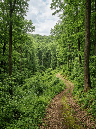
Half of Moldova's characteristic flora survives in one hill forest of oaks, ravines and wildcats.
Kibwezi Forest
Kenya
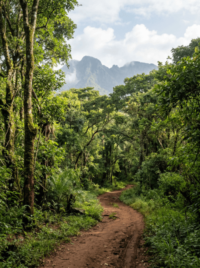
An underground river feeds a rare groundwater forest where rescued elephants learn wildness again.
Isla Magdalena
Chile
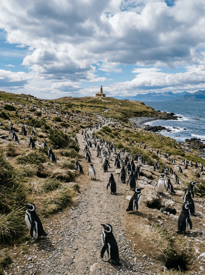
A marked island path threads through a seasonal Magellanic penguin colony.
Parque Nacional Radal Siete Tazas
Chile
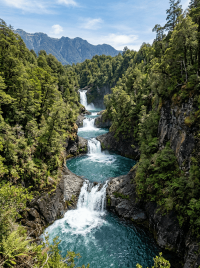
The Claro River pours through seven basalt bowls before vanishing into forest.
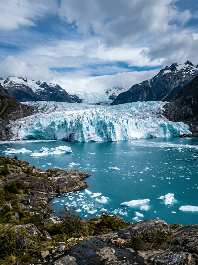
Laguna San Rafael
Chile
A long fjord journey reaches floating ice beneath a retreating Patagonian glacier.
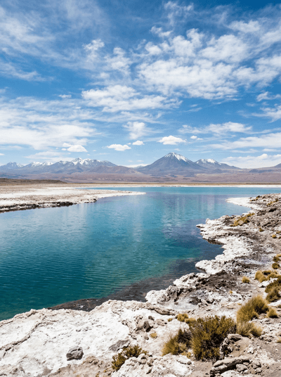
Laguna Cejar
Chile
Salt paths cross an Atacama wetland where one controlled lagoon allows floating.