
United States
Point Reyes
Fog wrapping a peninsula where tule elk graze beside shipwrecks rusting on the sand.
Fog rolls in from the Pacific and wraps the headland in grey cotton, muffling everything — the lighthouse foghorn, the elephant seals barking on the beach below, the creak of the oyster boats in Tomales Bay. The grass on the bluffs bends permanently landward, shaped by decades of wind. When the fog lifts, the coastline appears in sharp focus: white cliffs, dark sand, tule elk grazing above the surf.
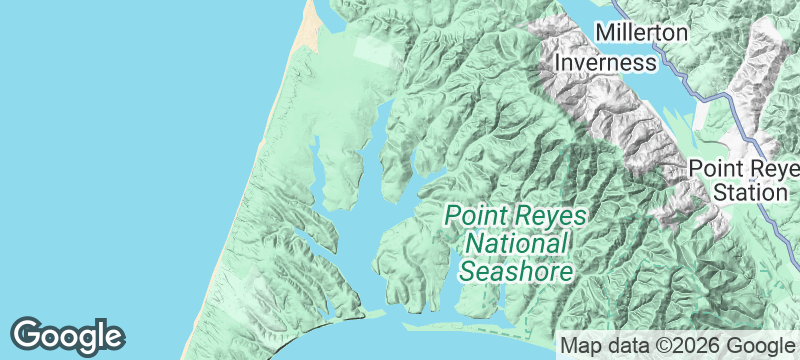
Point Reyes National Seashore occupies a triangular peninsula north of San Francisco that sits on the Pacific Plate, separated from the North American Plate by the San Andreas Fault. The 1906 earthquake moved the peninsula 20 feet northward in a single lurch — fence posts split by the displacement are still visible along the fault trail. The lighthouse, perched at the peninsula's windiest point at the bottom of 308 steps, is one of the best land-based whale-watching sites on the California coast from January through March. Tomales Bay, the drowned valley of the San Andreas, provides calm water for kayaking past oyster farms and harbour seal colonies. Over 500 tule elk — reintroduced in the 1970s after near-extinction — now graze the northern headlands, visible from the Tomales Point trailhead. Point Reyes blue cheese, made at a creamery within the national seashore, ranks among the finest artisan cheeses in the United States.
Solo
The fog, the fault line, the drowned valley — Point Reyes layers geology, ecology, and solitude in a peninsula you can explore for days without repeating a trail. Walking to the lighthouse alone in the mist, with whales breaching below, is as atmospheric as the West Coast gets.
Couple
Shucking oysters at a picnic table on Tomales Bay, then driving to the lighthouse for sunset, creates a day that moves between indulgence and wildness. The creameries, oyster farms, and coastal inns make Point Reyes as much about food as landscape.
- The peninsula sits on the Pacific Plate — 20 miles west of the North American Plate — and has moved 25 feet north relative to its surroundings since the 1906 earthquake.
- Point Reyes Lighthouse requires descending 308 steps to reach the headland cliff — whales are visible from the overlook from January through March without optical equipment.
- Tomales Bay's calm waters allow paddle board and kayak routes past oyster farms and seal haul-outs, with rental available from Marshall on the eastern shore.
- Tule elk reintroduced to the Tomales Point area now number over 500 — the herd is visible from the trailhead at the peninsula's northern tip.
Hog Island oysters shucked at a picnic table overlooking Tomales Bay.
Point Reyes blue cheese — one of America's finest — with crusty sourdough.
Clam chowder from a clapboard shack at Drake's Beach.

Tatami Ridge (Kumejima)
Japan
Hexagonal basalt slabs stretching into turquoise shallows like a giant's abandoned floor.

Colonsay
Scotland
A tide-linked island that blooms so wildly botanists cross the country for it.

Fårö
Sweden
Wind-carved limestone sea stacks standing sentinel on Bergman's island of silence and stone.

Ly Son Island
Vietnam
A volcanic island quilted in garlic fields stretching toward basalt cliffs and the sea.

Sedona
United States
Red rock cathedrals rising from the desert floor where energy vortexes hum underfoot.

Saguaro
United States
Cathedral stands of giant cacti with arms raised, each one older than the nation itself.

Hoh Rainforest
United States
Moss hangs so thick from every branch that the forest floor never sees direct sunlight.

Capitol Reef
United States
Pioneer orchards still bearing fruit inside a hundred-mile wrinkle in the Earth's crust.