
Australia
West MacDonnell Ranges
Cold water hides beneath ochre gorge walls along Tjoritja's long desert spine.
Ochre walls rise above water that can remain startlingly cold even on a hot central Australian day. Across Tjoritja, each gorge has its own access, cultural meaning and swimming guidance rather than one blanket promise.
Tjoritja / West MacDonnell National Park follows a long range west of Alice Springs through Arrernte Country. Ormiston Gorge, Simpsons Gap, Ellery Creek Big Hole and other sites combine quartzite walls, wildlife habitat and permanent or semi-permanent water. Swimming is prohibited or discouraged at some culturally sensitive places and conditions vary elsewhere, while the Larapinta Trail demands permits, water planning, weather judgement and staged logistics.
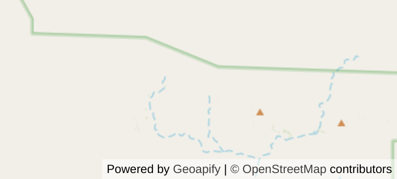
Map data © OpenStreetMap contributors · Powered by Geoapify
Solo
Use well-chosen day walks or a supported Larapinta section, leaving route details and carrying emergency communications.
Friends
Share trail stages, transport, water planning and campsite duties while respecting every site-specific swimming rule.
- Ochre-walled gorges cut through an arid range and shelter permanent or semi-permanent waterholes.
- Ormiston Gorge, Simpsons Gap and other sites reveal different geology and Arrernte cultural meaning.
- The Larapinta Trail follows the range over many demanding stages.
- Ghost gums shine white against red rock in a spare, recognisable central Australian palette.
Alice Springs runs a genuine bush-food economy: wild bush tomato, quandong and wattleseed harvested by Central Desert women.
Those wild-harvested desert foods reach modern kitchens through Aboriginal-owned suppliers.
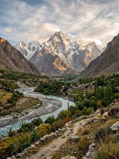
Hushe Valley
Pakistan
Masherbrum's 7,800-metre pyramid guards a valley where glaciers grind audibly through the night silence.
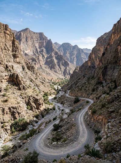
Wadi Bani Awf
Oman
A rough 4WD road threads villages, canyon walls and the mouth of Snake Gorge.
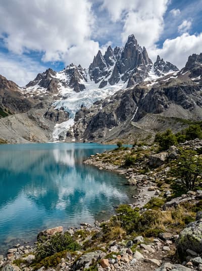
Cerro Castillo National Park
Chile
Black spires cut above turquoise lagoons in the exposed heart of Aysén.
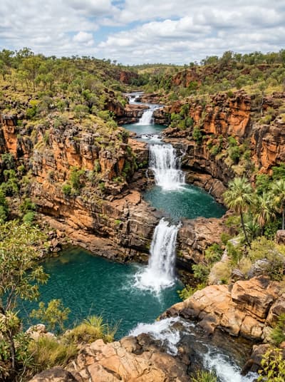
Mitchell Falls
Australia
In season, four tiers of water thunder through sandstone on remote Wunambal Gaambera Country.
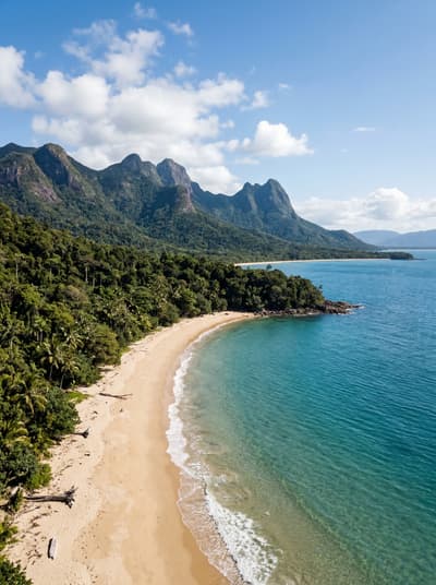
Hinchinbrook Island
Australia
Tidal creeks, rainforest and granite ridges turn one island trail into a self-sufficient expedition.
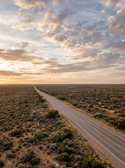
Nullarbor Plain
Australia
A treeless plain ending in sheer cliffs that drop into the Southern Ocean to the horizon.
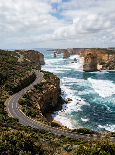
Great Ocean Road
Australia
Limestone apostles crumble into furious surf while the road clings to cliffs above.