Mexico
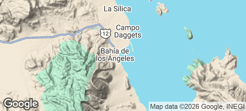
Bahía de los Ángeles
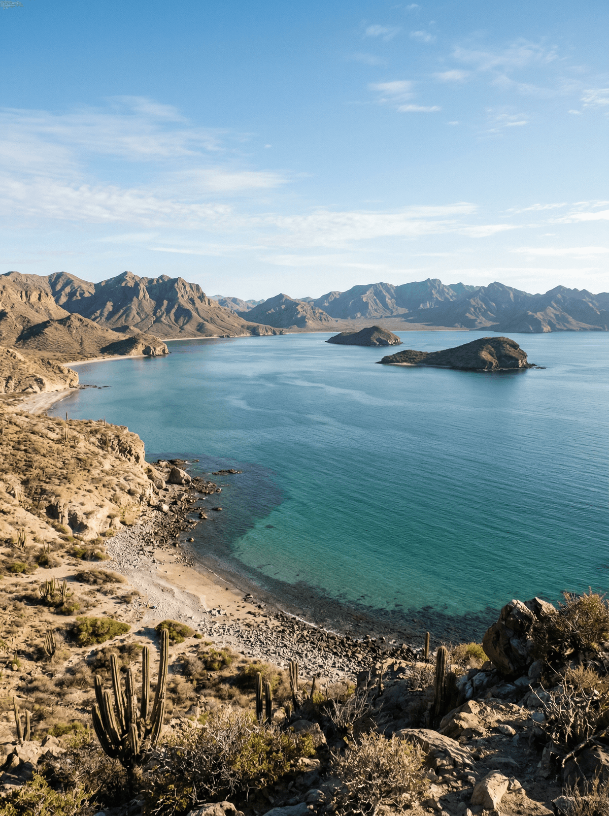
Desert ridges frame a protected bay of islands and immensely productive water.
The desert runs straight into the sea here and neither gives way. Bare ridges stand behind, island silhouettes wait ahead, and between them lies a bay whose water works harder than any field.
Bahía de los Ángeles sits between desert mountains and a highly productive protected marine reserve in the Gulf of California, its village still best described as a sleepy fishing town where a long paved spur runs out. Wildlife trips run only with authorised operators, on CONANP's published daily schedule. Whale sharks and cetaceans are seasonal possibilities in these waters, never a promised encounter.
Solo
Drive the long spur road for dark skies and a village that expects nothing of you.
Couple
Take an authorised boat morning among the islands and give the beaches what remains of the day.
Friends
Share a wildlife trip in season and the village's fish-taco tables after.
- Bahía de los Ángeles sits between desert mountains and a highly productive protected marine reserve.
- CONANP requires authorised operators for wildlife trips and publishes a daily visitor schedule.
- Whale sharks and cetaceans are seasonal possibilities, never a promised encounter.
Guillermo's by the bay plates fish tacos, shrimp ceviche and scallops.
Shrimp cocktail and the day's catch round out the same bayfront tables.
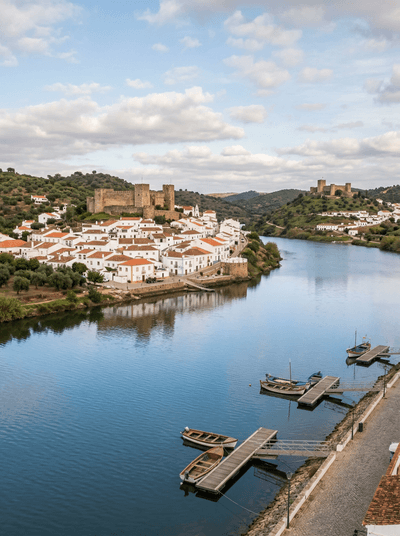
Alcoutim
Portugal
Two castle towns face across the Guadiana — Portugal one bank, Spain the other.
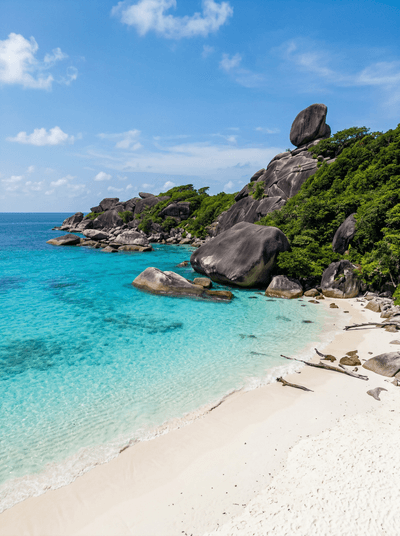
Similan Islands
Thailand
Giant granite boulders stacked like dropped marbles above water clear enough to induce vertigo.
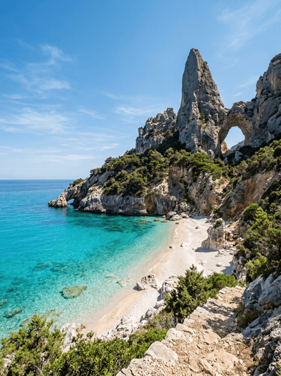
Cala Goloritzé
Italy
A limestone needle rising from emerald water, the cove reachable only by a cliff-edge trail.
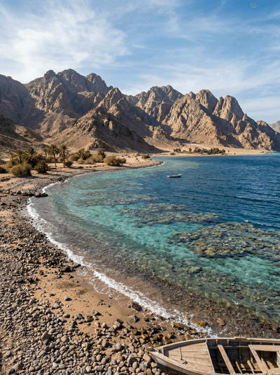
Ras Abu Galum
Egypt
Camel trail ending at a Bedouin beach where the reef starts a metre from your mat.
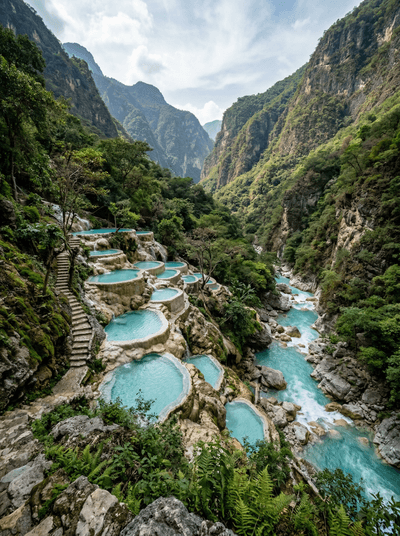
Grutas de Tolantongo
Mexico
Thermal rivers tumble into canyon-cliff infinity pools, steam rising through cold mountain air.
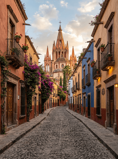
San Miguel de Allende
Mexico
Colonial light turns pink at dusk, every doorway hiding an artist's courtyard.
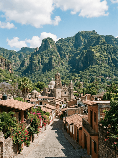
Tepoztlán
Mexico
Volcanic walls cradle a market town of chapels, food and mountain weather.
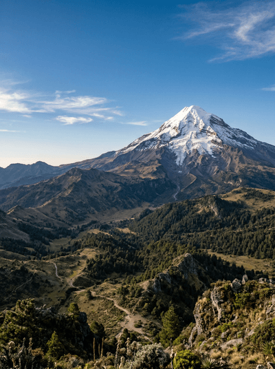
Pico de Orizaba
Mexico
Mexico's highest mountain rises from forest routes to a serious high-altitude summit.