
Chile
Bahía Exploradores
A road ends where a glacier meets the sea. Walk on ice that touches the Pacific.
The road ends and the ice begins. A 2.5-kilometre trail through dripping Valdivian forest opens onto a tidal flat where the San Rafael glacier meets the Pacific — a wall of blue-white ice calving directly into salt water with no barrier, no railing, and no certainty about what will fall next. At low tide, you can walk the flats in front of the calving face. The guides are mandatory because the ice drops without warning.
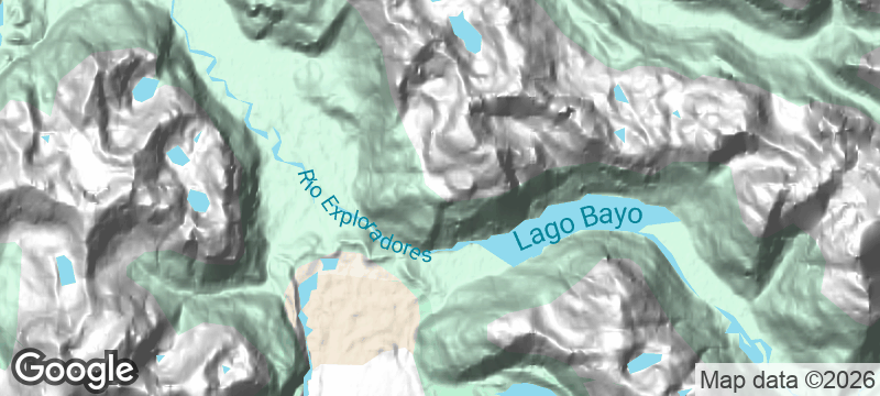
Bahía Exploradores in Chile's Aysén Region is the only place at this latitude where a temperate glacier touches the open ocean. The access road from Puerto Río Tranquilo is unpaved and closes for six months per year due to snow — access windows are narrow and conditions change in hours. Chilean dolphins (toninas), found only in the canal systems of Chilean Patagonia, are reliably seen in the bay. The glacier itself is part of the Northern Patagonian Ice Field, the second-largest contiguous ice mass in the Southern Hemisphere outside Antarctica. The combination of tidal flats, calving ice, and rainforest within a single walk makes this one of the most geologically concentrated landscapes on the Carretera Austral.
Solo
Walking on tidal flats beneath a calving glacier at the end of an unpaved road that closes for half the year. Bahía Exploradores rewards solo travellers who thrive on logistical uncertainty and raw landscapes.
Friends
Ice trekking on the glacier face, kayaking among calved icebergs, and camping where the road runs out — the bay offers an expedition-grade group trip that stays accessible without mountaineering experience.
- A 2.5km trail through Valdivian forest ends at the San Rafael glacier face where it meets the Pacific — the only place at this latitude where a temperate glacier touches the open ocean.
- At low tide it's possible to walk on the tidal flats directly in front of the calving glacier — guides are mandatory because the ice drops without warning.
- The access road from Puerto Río Tranquilo is unpaved and closes for 6 months per year due to snow — access windows are narrow and conditions change in hours.
- Chilean dolphins (toninas) are reliably seen in the bay — they are found only in the canal systems of Chilean Patagonia and are rarely encountered elsewhere.
Field-cooked salmon from the exploradores river, grilled on sticks over an open fire.
Mate and sopaipillas shared with guides at the end of the glacier access road.
Pack provisions from Coyhaique — there is nothing at the end of this road but ice and ocean.

Loch Coruisk
Scotland
A loch locked inside the Cuillin mountains, reachable only by sea, the water black and still.

St Kilda
Scotland
Britain's most remote islands, evacuated in 1930, where a million seabirds outnumber the ghosts.

Presqu'île de Crozon
France
Sea stacks and hidden coves on a windswept peninsula where the Atlantic chews rock raw.

Cruzinha da Garça
Cape Verde
A cobblestone trail ends at a fishing hamlet with no road — only ocean and footpath.
Reserva Nacional Altos de Lircay
Chile
Condors circle lenga forests that turn copper and gold, crossed by trails almost no foreigners walk.
Volcán Lonquimay (Cráter Navidad)
Chile
A volcanic crater born on Christmas Day 1988 still steams beside its parent cone.
Parque Nacional Puyehue (Caulle Volcanic Range)
Chile
Hot rivers cut through ash fields from a 2011 eruption, the landscape rewriting itself in steam.

Torres del Paine
Chile
Granite towers erupt from Patagonian steppe, condors riding thermals above ice-blue lakes.