Mexico
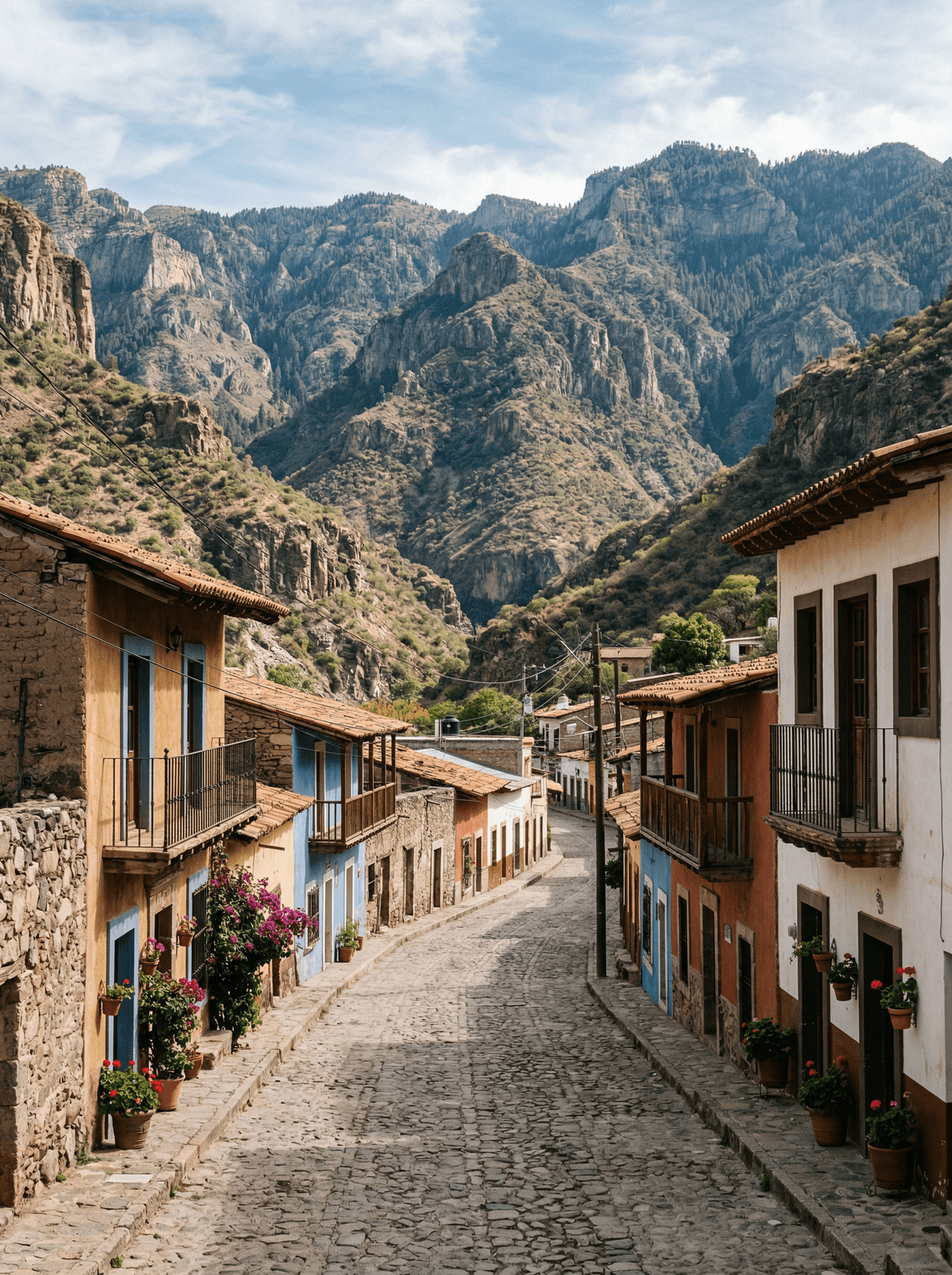
Batopilas
A plunging canyon road ends among palms, aqueducts and silver-era stonework.
The road drops for hours from pine rim to palm shade, and arrives in a town the silver built. Aqueduct arches and faded mansions line the river, in heat that belongs to another latitude than the rim you left.
Batopilas lies deep in the Copper Canyon system, reached by a steep descent from the rim into a subtropical valley. Mining-era buildings, the old aqueduct and the Satevó mission just downriver tell the silver story, while the town itself remains lived-in rather than frozen. The journey is remote enough to plan for daylight both ways.
Solo
Take the descent slowly, stay a night and walk to the Satevó mission at dawn.
Couple
Share the canyon road and the palm-shaded plaza evenings of a town out of time.
- A steep road descends from the Copper Canyon rim into subtropical Batopilas.
- Mining-era buildings, the aqueduct and the Satevó mission reveal the town's former silver wealth.
- The journey is remote enough to plan in daylight, and the village is inhabited rather than frozen.
Frijoles meneados, stirred beans enriched the northern way, anchor Batopilas' kitchens.
Dulces de leche and grilled cuts fill out the canyon town's small tables.
Saorge
France
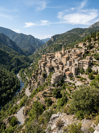
Houses stacked into a gorge wall like an amphitheatre, with the Roya river as the stage.
Conques
France
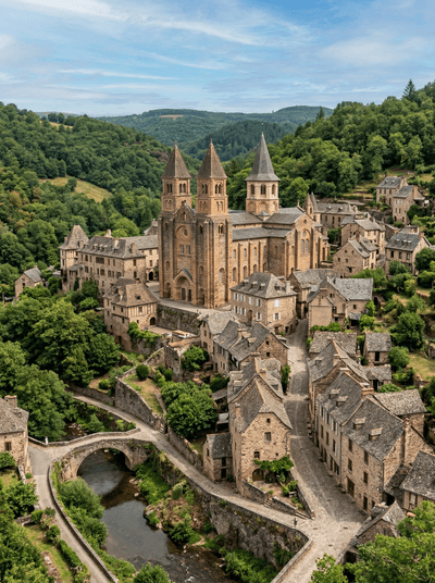
A Romanesque abbey glowing gold in a gorge where medieval pilgrims wept at the tympanum.
Vézelay
France
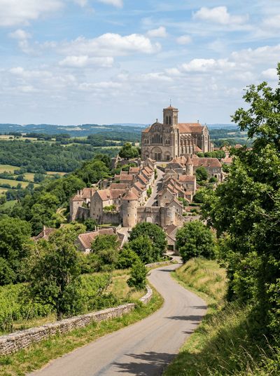
A hilltop basilica of light and carved stone where two crusades were preached into being.
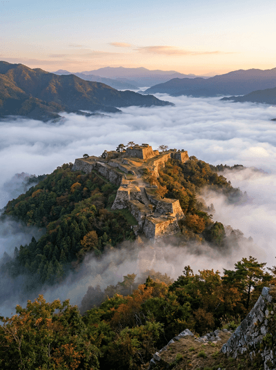
Takeda Castle Ruins
Japan
Stone ramparts adrift on a sea of cloud at dawn — Japan's Machu Picchu.
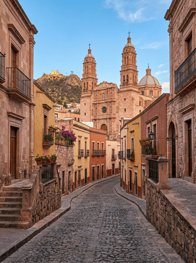
Zacatecas
Mexico
A pink-sandstone city climbs from silver mines to a cathedral carved like frozen lace.
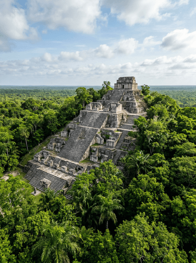
Calakmul
Mexico
A Maya capital's towers still stand above an unbroken sea of forest.
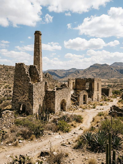
Mineral de Pozos
Mexico
A silver town that emptied with its mines is filling again with makers.
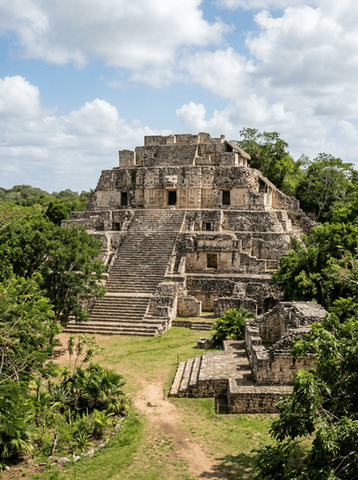
Ek Balam
Mexico
A royal stucco façade survives within the towering Acropolis of Ek Balam.