Costa Rica
Chirripó National Park
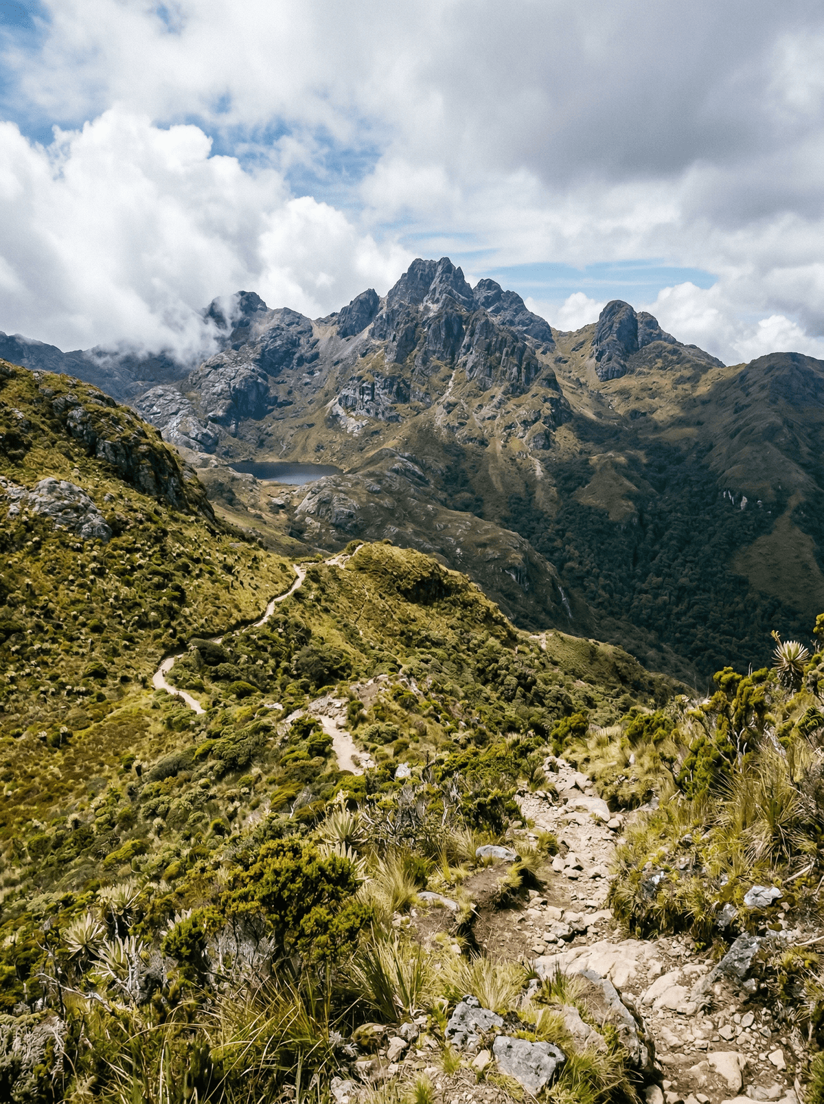
From Costa Rica's rooftop on a clear morning, the Pacific and Caribbean both lie below.
The alarm sounds at 2 a.m. You climb in darkness, headlamp carving a tunnel through cloud forest that thins into wind-blasted páramo, the air cold enough to see your breath — in the tropics. When dawn breaks over Cerro Chirripó on a clear morning, both oceans appear: the Pacific west, the Caribbean east, Costa Rica between your outstretched hands.
Chirripó is a Cabécar word — 'Land of Eternal Waters' — and the summit country explains it: U-shaped valleys, moraines, cirques and glacial lakes carved by ice that ground over these peaks 25,000 years ago. The páramo above the treeline looks more Patagonian than tropical and behaves that way too; Costa Rica's lowest recorded temperature, nine below zero, was measured up here. A missionary named Agustín Blessing made the first recorded ascent in 1904 — today the mountain is climbed from San Gerardo de Rivas on a reserved permit system, with local families carrying bags, cooking meals and running the valley lodgings. All six of Costa Rica's wild cat species live in the park's forests, along with tapirs and quetzals, though they keep famously out of sight.
Solo
Chirripó draws the focused, dawn-chasing kind of hiker — the summit push alone in the dark, headlamp on, is a quintessential solo achievement.
Friends
A group ascent becomes shared suffering, shared sunrise and a story that compresses bragging rights into forty-eight hours.
- Glacial cirques, moraines and lakes 25,000 years old crown the highest ground in Costa Rica.
- Costa Rica's coldest recorded temperature — nine below zero — was measured on this mountain.
- All six of the country's wild cat species inhabit the park's forests, famously elusive.
- Entry runs on advance reservations, and the valley's own families handle the bags, beds and meals.
Gallo pinto and strong black coffee in San Gerardo de Rivas, fuelling the pre-dawn summit push.
Highland trout pan-fried with garlic in the valley sodas below the park gate.
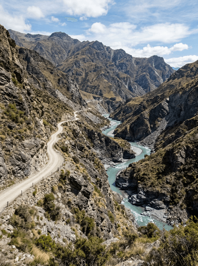
Skippers Canyon
New Zealand
A gold miners' road carved into sheer cliff, best driven by someone else.
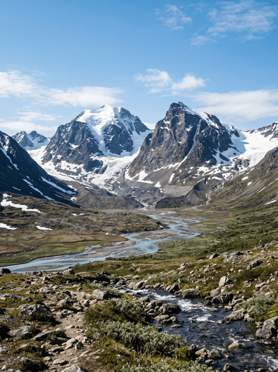
Kebnekaise
Sweden
Sweden's rooftop, where a melting glacier keeps trading the crown between twin summits.
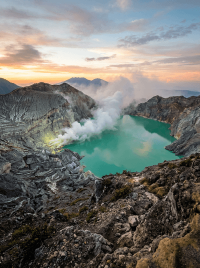
Ijen Crater
Indonesia
Sulphur miners and blue fire share Ijen's crater with a kilometre-wide acid lake.
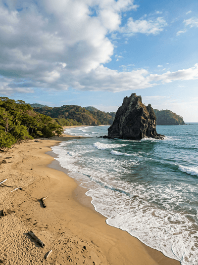
Witch's Rock (Playa Naranjo)
Costa Rica
A volcanic rock rising from Pacific surf at a break so remote you arrive by boat.
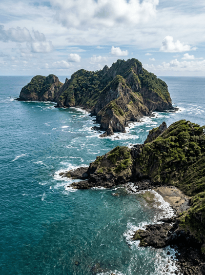
Islas Murciélago
Costa Rica
Descend into dark Pacific water where bull sharks circle — their territory, your privilege.
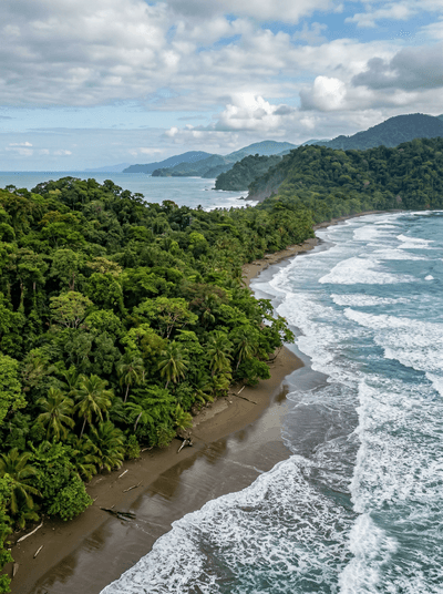
Corcovado National Park
Costa Rica
National Geographic called it the most biologically intense place on Earth. They undersold it.
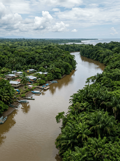
Barra del Colorado
Costa Rica
A roadless river delta where tarpon explode from chocolate-brown water and jaguars patrol the banks.