Canada
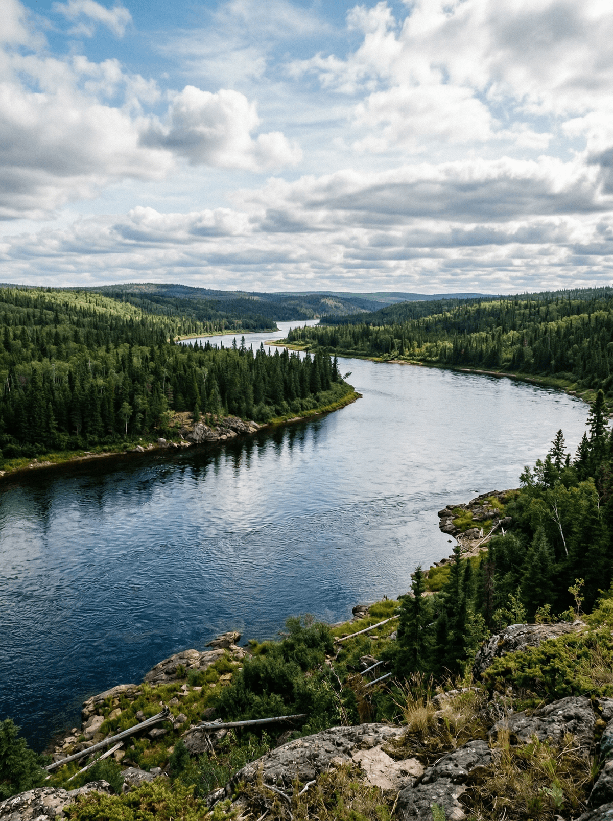
Churchill River
A voyageur highway of lakes and granite still runs its canoe routes through the boreal north.
The river opens as a chain of lakes stitched with rapids. On a smooth rock above the water, a fire is already frying the day's walleye.
Saskatchewan's Churchill carries centuries of Cree and voyageur travel across Shield country of pine, granite and white water. Fly-in camps and canoe outfitters work its reaches, keeping the shore-lunch ritual, walleye in the pan minutes after the net, at the culture's centre. Rock paintings watch some of the older portages.
Solo
Outfitters place experienced solo paddlers on routes matched to real skill.
Friends
A guided camp week, with boats, guides and shore lunches, is built for a crew.
- The Churchill carries centuries of Cree and voyageur canoe travel.
- Fly-in lodges and canoe outfitters work its whole reach.
- Pictographs guard several of the ancient carries.
Cree guides fry walleye on the granite minutes after the catch: the voyageur shore lunch, unbroken.
Campfire potatoes with onions and bacon complete the ritual.
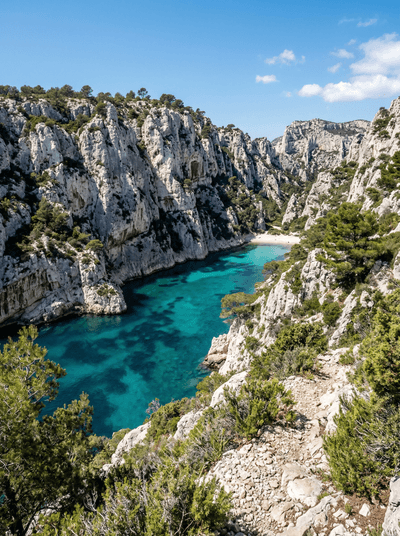
Les Calanques de Marseille
France
Jagged white inlets slicing into the coast like fjords filled with Mediterranean turquoise.
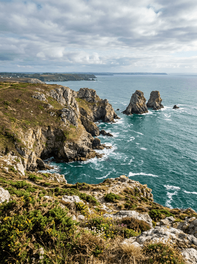
Presqu'île de Crozon
France
Sea stacks and hidden coves on a windswept peninsula where the Atlantic chews the rock raw.
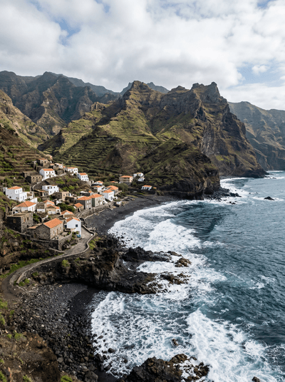
Cruzinha da Garça
Cape Verde
Twelve kilometres of cliff-carved path end at a fishing hamlet on black sand.
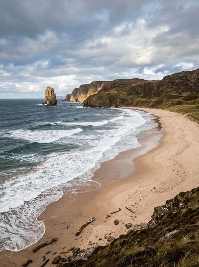
Sandwood Bay
Scotland
A beach so remote you walk four miles through bog to reach its untouched pink sand.
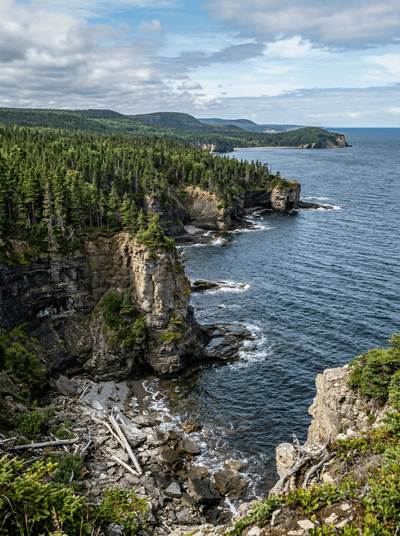
Île d'Anticosti
Canada
Waterfalls, canyons and fossil-rich shores spread across a Gulf island with one village and few humans.
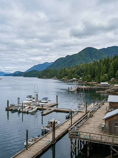
Port Renfrew
Canada
Giant trees and giant surf bracket a fishing town at the west coast road's end.
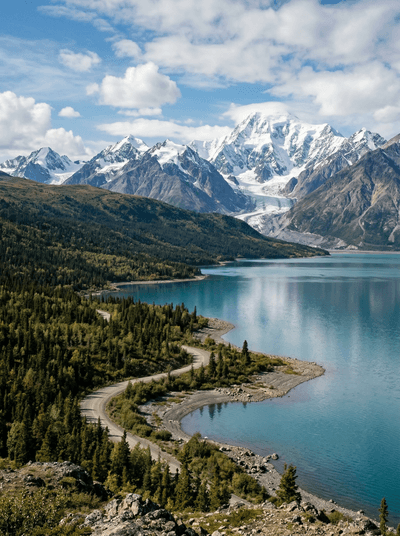
Kluane National Park
Canada
The world's largest non-polar icefields hide behind front ranges that only flights reveal.
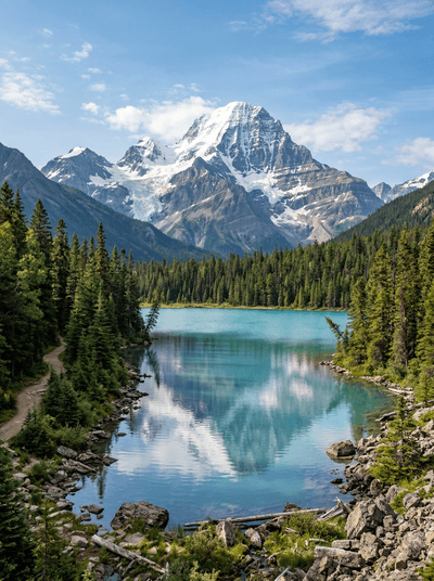
Mount Robson
Canada
The Rockies' highest wall rises nearly three vertical kilometres above its own visitor centre.