Canada
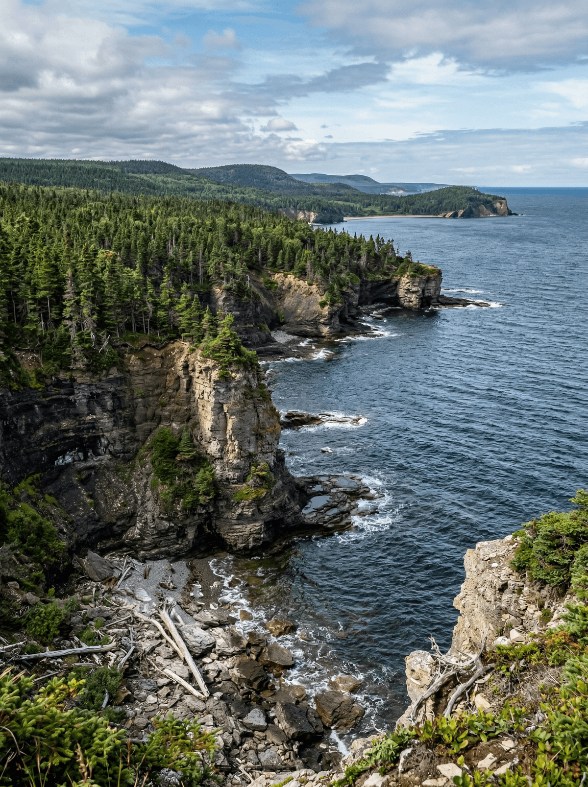
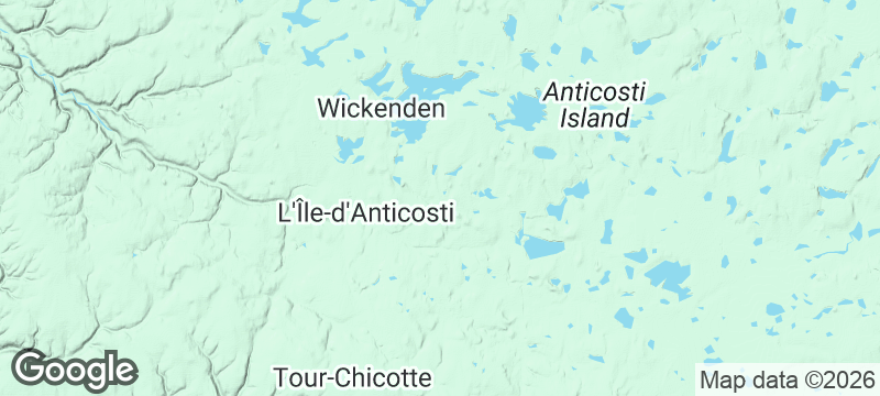
Île d'Anticosti
Waterfalls, canyons and fossil-rich shores spread across a Gulf island with one village and few humans.
The forest road runs empty between limestone canyons and white-tailed deer. At Port-Menier, the bay opens in front of the island's only streets.
Anticosti is vast, UNESCO-listed for its fossil record, and reached by air or seasonal ship to Port-Menier. Stays run through the Sépaq's all-inclusive lodge model: meals at the inn, packed lunches for excursion days, e-bikes and rented vehicles for the long distances. Vaureal falls, Observation canyon and the fossil shores set the days.
Solo
The all-inclusive lodge model removes every logistics problem except distance.
Friends
Splitting the vehicle rental turns the island's distances into shared excursion days.
- Anticosti's fossil record carries UNESCO listing across a nearly empty island.
- The Sépaq lodge model includes meals, packed lunches and the means to cover huge distances.
- Waterfalls, canyons and deer-filled forest roads set the excursion days.
Meals are included at the Port-Menier inn, in a fireplace dining room with a terrace over the bay.
Packed lunches travel out on the excursion days; the island itself sells little else.
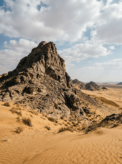
Fossil Rock (Jebel Maleihah)
United Arab Emirates
Shells from an 80-million-year-old sea floor stud a peak in red dunes.
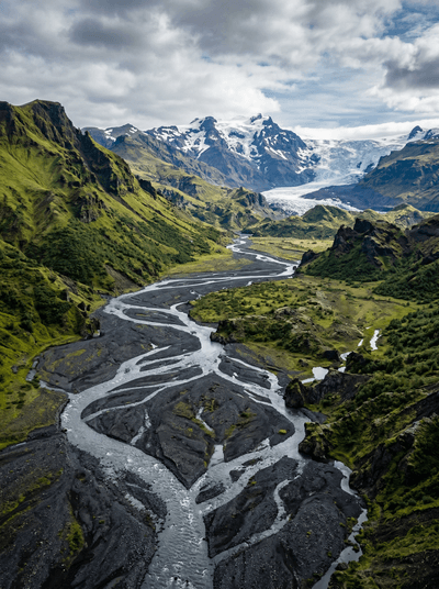
Þórsmörk
Iceland
A hidden valley of birch forest and braided rivers walled by three colossal glaciers.
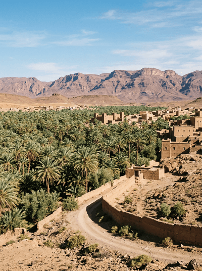
Zagora
Morocco
Date palms thin into stone while Zagora's painted Timbuktu sign points south.
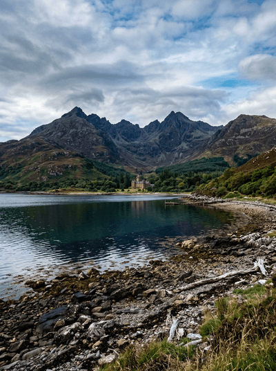
Rum
Scotland
A volcanic island where a shuttered Edwardian castle guards its orchestrion and faded excess.
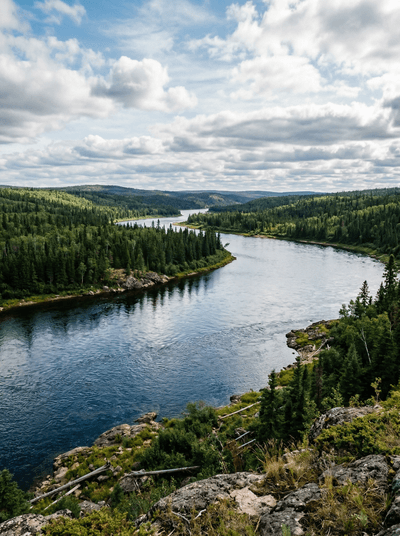
Churchill River
Canada
A voyageur highway of lakes and granite still runs its canoe routes through the boreal north.
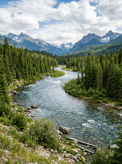
Clearwater River
Canada
A wilderness river of glass-clear water runs the old voyageur road through roadless boreal forest.
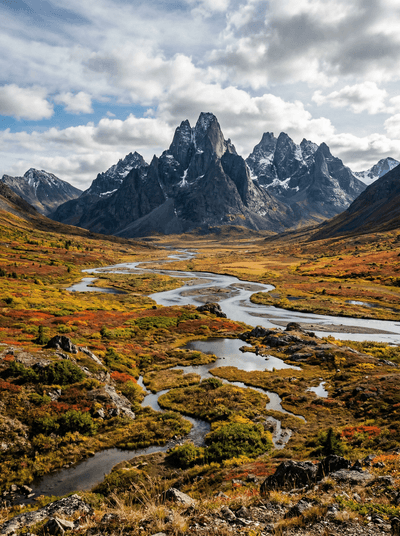
Tombstone Territorial Park
Canada
Black granite teeth rise over tundra that turns crimson in the brief Arctic autumn.
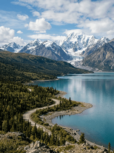
Kluane National Park
Canada
The world's largest non-polar icefields hide behind front ranges that only flights reveal.