
Canada
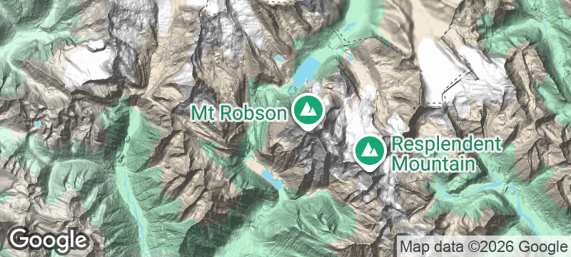
Mount Robson
The Canadian Rockies' highest peak rarely reveals its summit — clouds guard it like a secret.
Mount Robson is the highest peak in the Canadian Rockies, and it almost never shows you its full summit. Clouds guard the peak with a jealousy that borders on sentience — clear views happen perhaps one day in ten. When the mountain does reveal itself, the effect is startling.
Mount Robson Provincial Park straddles the British Columbia-Alberta border, anchored by the 3,954-metre peak that dominates the Rockies' western skyline. The Berg Lake Trail is a 22-kilometre backpacking route to a glacial lake where icebergs calve directly from the mountain — one of the most rewarding multi-day hikes in the Canadian Rockies. The Emperor Face, the mountain's north face, is one of the most fearsome alpine climbs in North America. The Robson River emerges from a glacier at the mountain's base, turquoise and ice-cold, flowing through ancient cedar forest. The peak's near-permanent cloud cap gives every clear moment a quality of revelation.
Solo
The Berg Lake Trail is one of the Rockies' great solo backpacking routes — icebergs calving from the mountain into the lake at your campsite, with the summit occasionally emerging from the clouds above.
Friends
A group backpacking trip to Berg Lake — glacier-calving views, alpine meadows, and the shared thrill of the summit appearing through the clouds — is a Rockies expedition that friends plan years around.
- At 3,954 metres, it's the highest peak in the Canadian Rockies — and it reveals its full summit only about one in ten days.
- The Berg Lake Trail is a 22-kilometre backpacking route to a glacial lake where icebergs calve directly from the mountain.
- The Emperor Face — the mountain's north face — is one of the most fearsome alpine climbs in North America.
- The Robson River emerges from a glacier at the mountain's base, turquoise and ice-cold, flowing through ancient cedar forest.
Trail meals from Valemount's general store — elk jerky, bannock, and dried fruit.
Craft beer and hearty mountain food at the Three Ranges Brewing Company.

Stuðlagil Canyon
Iceland
A turquoise glacial river surging through geometric towers of perfectly hexagonal basalt.

Wadi Al Wurayah
United Arab Emirates
The UAE's only permanent waterfall — cold freshwater pooling in a gorge most residents never find.

Hushe Valley
Pakistan
Masherbrum's 7,800-metre pyramid guards a valley where glaciers grind audibly through the night silence.

Mount Ararat
Turkey
Turkey's highest peak rises alone from the plain, perpetually snow-capped and steeped in flood mythology.

Churchill River
Canada
Cree pictographs and abandoned fur-trade posts along a canoe route through trackless boreal forest.

Dempster Highway
Canada
Canada's only road to the Arctic Ocean — 700 kilometres of gravel and caribou herds.

Port Renfrew
Canada
Old-growth trees wider than houses anchor the start of the West Coast Trail into fog-drenched rainforest.

Île d'Anticosti
Canada
An island bigger than PEI with 200 white-tailed deer per resident and zero stoplights.