Australia
Freycinet
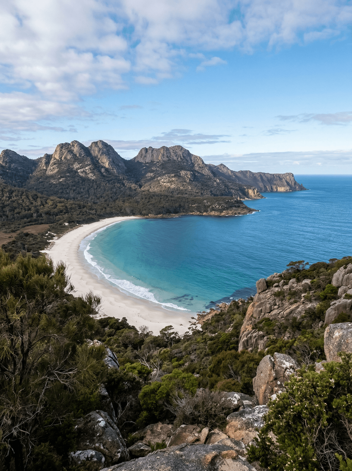
Wineglass Bay; a crescent of white sand framed by pink granite peaks and Tasman blue.
From the saddle lookout, Wineglass Bay curves below in pale sand between pink granite and Tasman Sea blue. The steep formed climb earns the view, but weather and crowding decide how long it takes and how far a walker should continue.
Freycinet National Park on Tasmania's east coast is dominated by the Hazards, a range of pink granite peaks climbing straight above the sea. Wineglass Bay curves around pale sand beyond a steep formed track from the lookout, while longer peninsula walks reach quieter beaches and camps. Weather, water and walking conditions matter more than any 'world's best' label.
Couple
Combine the Wineglass Bay lookout with an oyster stop and a slower peninsula walk chosen for the day's weather.
Friends
Prepare the peninsula circuit as a multi-day walk, sharing water, camp and route responsibilities.
- Wineglass Bay forms a pale crescent below a steep saddle lookout.
- The Hazards' pink granite rises directly beside the Tasman Sea.
- Short lookout routes and a demanding peninsula circuit create very different walking commitments.
- Marine farms, beaches and granite country give the area depth beyond one photographed bay.
Oysters or mussels at a Freycinet-area marine farm after the walk.
Tasmanian seafood at a peninsula lodge or Coles Bay restaurant overlooking the Hazards.
Diamond Beach
Iceland
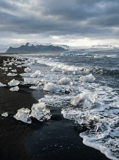
Giant, glass-clear icebergs washing ashore on jet-black sand like discarded crown jewels.
Nam Du Archipelago
Vietnam
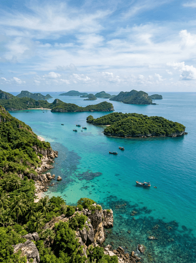
Twenty-one raw volcanic islands where coconut palms lean over coral shallows and fishing nets dry.
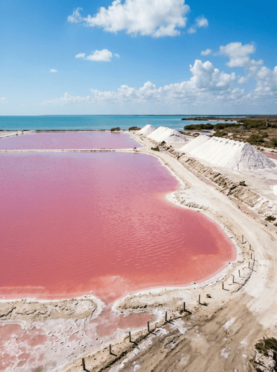
Las Coloradas
Mexico
Salt, microbes and sharp sunlight can turn working evaporation ponds vivid pink.
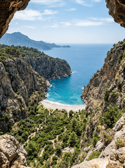
Butterfly Valley
Turkey
Only reachable by boat, a sheer-walled canyon where butterflies swirl above a hidden beach.
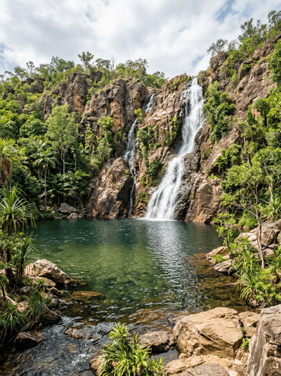
Litchfield National Park
Australia
Termite mounds stand edge-on to the sun beside waterfalls that decide when swimming is safe.
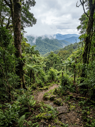
Lamington National Park
Australia
Antarctic beech trunks rise through cloud forest where waterfalls vanish into green ravines.
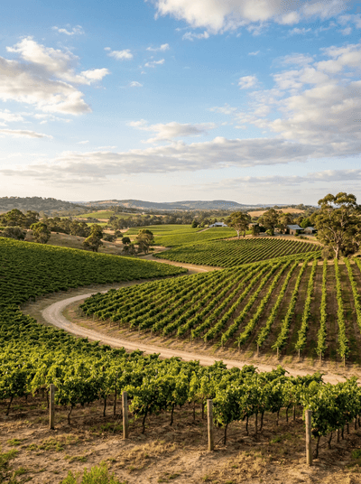
Barossa Valley
Australia
Stone cellar doors, century-old shiraz vines, and the weight of six generations in every glass.
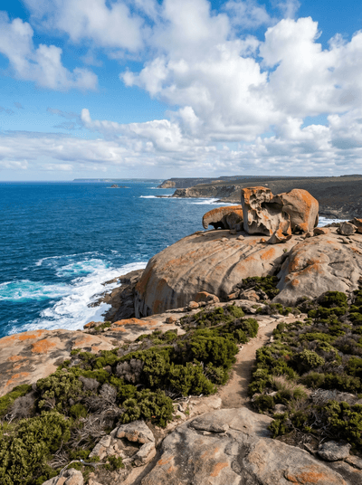
Kangaroo Island
Australia
Sea lions lounge on beaches, koalas sleep in roadside trees, and the air tastes of eucalyptus.