
Canada
Icefields Parkway
A 230-kilometre highway stitching glacier to glacier through the spine of the Rockies.
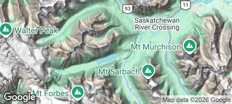
The Icefields Parkway runs 230 kilometres between Lake Louise and Jasper, and every pullover reveals a different glacial valley, waterfall, or turquoise river. More than 100 glaciers are visible from the road. The highway stitches the Canadian Rockies together like a glacial spine.
The Icefields Parkway (Highway 93 North) is consistently ranked among the most spectacular drives in the world. The road climbs to Bow Summit at 2,069 metres, offering a view of Peyto Lake — a glacier-fed lake shaped like a wolf's head. Wildlife sightings are near-guaranteed: mountain goats, bighorn sheep, elk, and black bears all frequent the highway corridor. The Columbia Icefield Discovery Centre at the highway's midpoint provides access to the Athabasca Glacier and the Glacier Skywalk. The drive takes approximately three hours without stops, but no one does it without stopping.
Solo
The Icefields Parkway is one of the world's great solo drives — pullover after pullover of glacial views, wildlife encounters, and the freedom to stop wherever the landscape demands.
Couple
Driving the Icefields Parkway together — stopping at Peyto Lake, walking to the glacier, spotting wildlife — is the quintessential Rocky Mountain road trip for two.
Friends
A group road trip on the Icefields Parkway with camping stops, glacier visits, and hot springs at both ends makes for one of the best multi-day drives in North America.
- The 230-kilometre highway between Lake Louise and Jasper passes more than 100 glaciers visible from the road.
- Wildlife sightings are near-guaranteed — mountain goats, bighorn sheep, elk, and black bears all frequent the highway corridor.
- Bow Summit at 2,069 metres offers a view of Peyto Lake — a glacier-fed lake shaped like a wolf's head.
- Every pullover reveals a different glacial valley, waterfall, or turquoise river fed by ancient ice.
Elk burgers and local lager at the Crossing — the only rest stop for 80 kilometres.
Picnic at Peyto Lake viewpoint — the turquoise water makes any sandwich taste better.
The Num-Ti-Jah Lodge serves warming soups and game platters beside Bow Lake.

Franz Josef Glacier
New Zealand
A glacier tongue descending into temperate rainforest — ice meeting tree ferns near sea level.

Kings Canyon (Watarrka)
Australia
Sheer 100-metre walls hide the Garden of Eden — palms and permanent water in the desert.

Torridon
Scotland
Billion-year-old sandstone peaks rise from sea level like the backbone of a dead continent.

Nitmiluk (Katherine Gorge)
Australia
Thirteen sandstone gorges carved in sequence, each one revealed only after paddling through the last.

Wells Gray Provincial Park
Canada
A waterfall wider than Niagara hides in a volcanic park most Canadians have never heard of.

Île d'Anticosti
Canada
An island bigger than PEI with 200 white-tailed deer per resident and zero stoplights.

Churchill River
Canada
Cree pictographs and abandoned fur-trade posts along a canoe route through trackless boreal forest.

Dempster Highway
Canada
Canada's only road to the Arctic Ocean — 700 kilometres of gravel and caribou herds.