Morocco
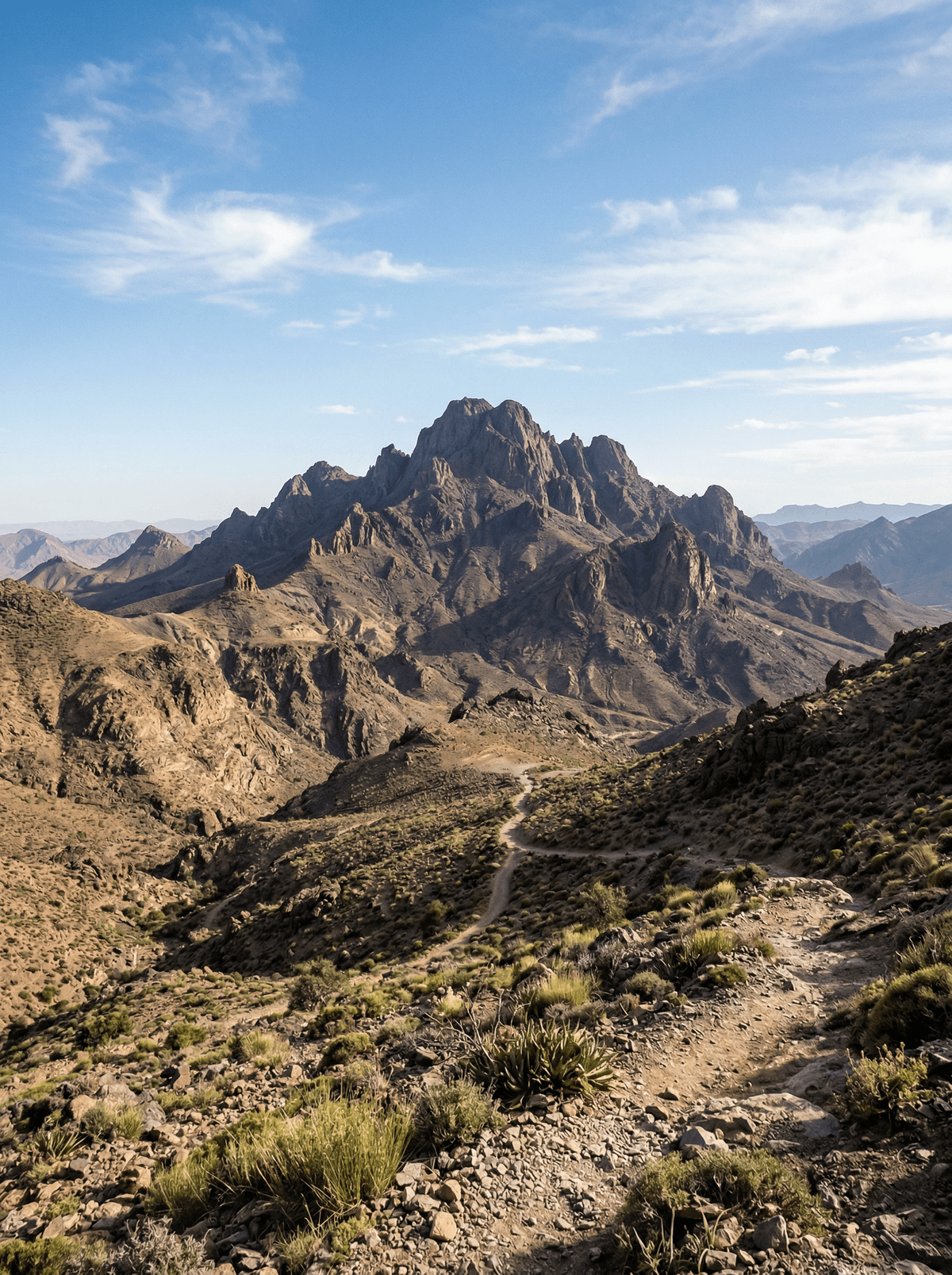
Jebel Sirwa
Purple crocuses give way to black volcanic rock on a summit between two Atlases.
Jebel Sirwa stands as an old volcanic mass on the seam joining the High Atlas to the Anti-Atlas, its dark summit blocks reached through green valleys, grazing plateaux and steep boulder-filled gorges. From 3,305 metres, clear views can run north towards Toubkal and M'Goun and south into the lower Anti-Atlas.
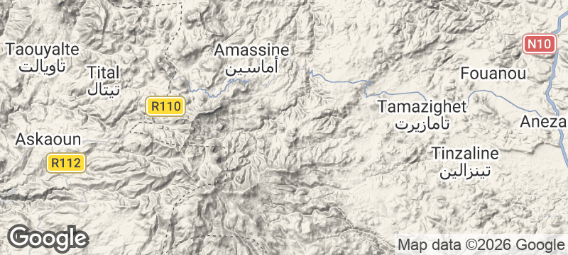
The circuit from the Taliouine side moves through cultivated fields and Amazigh villages to grazing plateaux, boulder-filled gorges and the 3,305-metre summit. Remote terrain and high camps make professional support essential, with water treatment and warm layers part of the mountain rather than its sales package. Saffron belongs lower on the approach around Taliouine: flowers are picked around dawn from mid-October into mid-November, each yielding three red stigmas. In harvest season, the purple fields give the black volcanic summit an agricultural beginning.
Solo
Let the route move from saffron country into increasingly bare volcanic ground, carrying a sleeping system, warm layers and water treatment suited to high camps. October joins the mountain journey to the crocus harvest below.
- A 3,305-metre volcanic summit gives one panorama across both the High Atlas and Anti-Atlas.
- The circuit moves from cultivated valleys and Amazigh villages to grazing plateaux, caves, steep gorges and high camps.
- A full crossing takes five nights under canvas, with mules and an official mountain guide.
- Taliouine's dawn saffron harvest adds a seasonal craft and food culture to the southern trailhead.
A saffron tagine in Taliouine, its sauce carrying threads from the protected local crop rather than powdered colouring.
Saffron tea at a Taliouine auberge, warm and aromatic before an early cooperative or trail departure.
Vanua Lava
Vanuatu
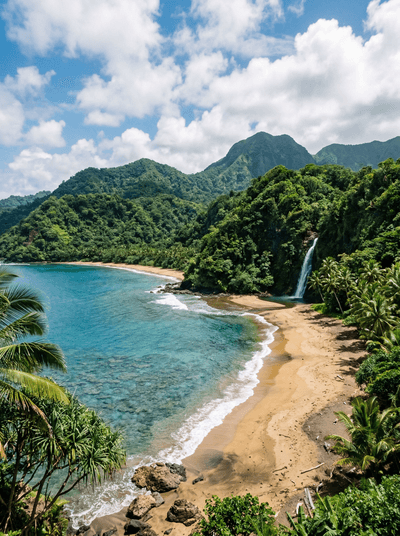
Twin waterfalls the locals call the Devils' drop 120 metres in tandem into a fern-lined pool.
Nááts'ihch'oh National Park Reserve
Canada
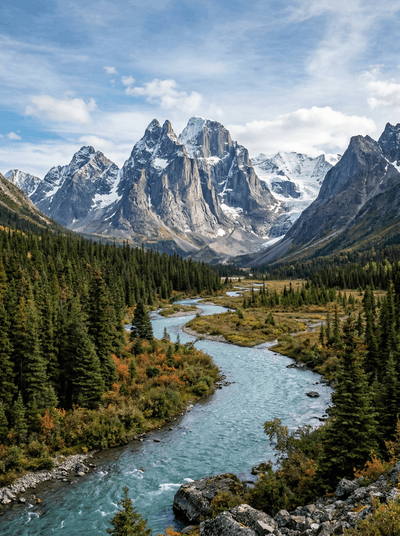
Fly-in headwaters country protects the Nahanni's upper reaches in near-total solitude.
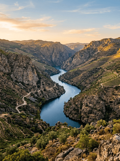
Douro Internacional
Portugal
A 200-metre canyon slicing the border, its cliff air ruled by griffon vultures.
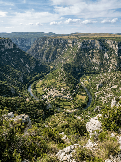
Cirque de Navacelles
France
A natural amphitheatre where a river abandoned its own meander, leaving a hamlet at the bottom.
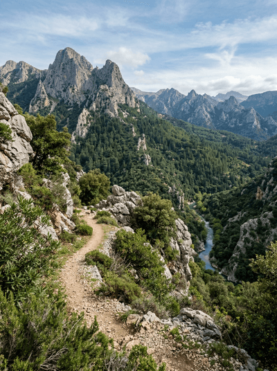
Talassemtane National Park
Morocco
Endangered fir darkens the Rif until pale limestone cliffs break through the canopy.
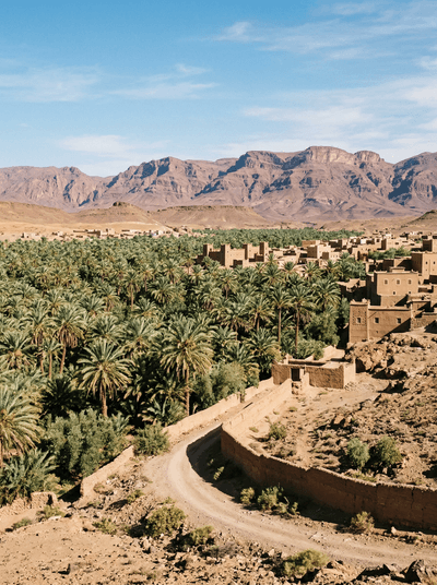
Zagora
Morocco
Date palms thin into stone while Zagora's painted Timbuktu sign points south.
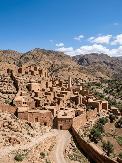
Debdou
Morocco
A spring runs past a Jewish cemetery beneath the broken walls of a mountain kasbah.
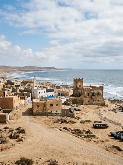
Tarfaya
Morocco
An airmail museum faces an Atlantic trading fort marooned beyond the harbour wall.