
Panama
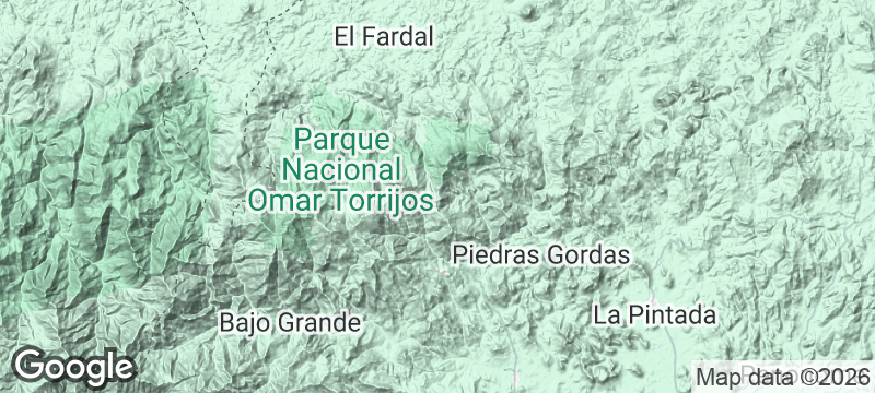
Omar Torrijos National Park
The cloud forest where Panama's canal treaty leader died in a plane crash still officially unsolved.
The cloud forest is so wet that moss grows on moss, and waterfalls appear in every gully as if the mountain cannot hold any more water. Omar Torrijos National Park in Panama's Coclé highlands sits between a thousand and two thousand metres, where the air is cool enough to need a jacket and the canopy drips even when it is not raining.
The park is named for General Omar Torrijos, who negotiated the 1977 Carter-Torrijos treaties that returned the Panama Canal to Panamanian control. In 1981, his aircraft crashed into these same mountains under circumstances that remain officially unexplained — the crash site lies within the park boundaries. Beyond its political history, the park receives over 5,000 millimetres of rain per year, producing a cloud forest of extraordinary density and moisture. Resplendent quetzals have been sighted here, alongside species rarely encountered in lowland Panama. The ranger station provides basic shelter and hot meals at altitude, and the surrounding trails pass waterfalls that require no detour to find — they cross the path.
Solo
The combination of political mystery, cloud forest immersion, and genuine solitude makes Omar Torrijos a deeply atmospheric solo walk. The ranger station is basic, the trails are quiet, and the story of the crash gives every step a weight.
Couple
Cool highland air, waterfalls at every turn, and a forest so lush it feels primordial. For couples who prefer hiking boots to beach towels, this is one of Panama's most rewarding mountain experiences.
- General Omar Torrijos — who negotiated the 1977 Carter-Torrijos treaties returning the canal to Panama — died when his aircraft crashed in these mountains in 1981; the cause remains officially unexplained.
- Cloud forest trails wind through a reserve that receives over 5,000 millimetres of rain per year, creating waterfalls in every gully and moss on every surface.
- The park sits between 1,000 and 2,000 metres in the Coclé highlands — high enough for cool temperatures and clear nights even in the wet season.
- Resplendent quetzals have been sighted here; the altitude and forest type produce species rarely encountered in lowland Panama.
Simple mountain fare at the ranger station: rice, beans, coffee from the surrounding slopes.
Trail provisions from Penonomé's market: empanadas, fruit, and bottled water.
Cold nights at altitude demand hot chocolate and soup — the ranger station provides both.

Mount Sunday
New Zealand
A solitary hill standing guard over a braided river plain — Tolkien's Rohan made viscerally real.

Jebel Qamar
Oman
Frankincense valley terraces dropping into the Arabian Sea through clouds of monsoon mist.

Flatruet
Sweden
Sweden's highest road crossing a treeless plateau where musk oxen roam at visibility's edge.

Purnululu (Bungle Bungles)
Australia
Beehive-striped sandstone domes rising from the Kimberley plain, unseen by outsiders until 1983.

Golfo de San Miguel
Panama
The gulf where Balboa waded into the Pacific in 1513 — shore unchanged, jungle watching.

Punta Patiño
Panama
A Darién nature reserve where harpy eagles — the world's most powerful raptor — nest.

Sarigua National Park
Panama
Cracked salt flats where rainforest retreated to reveal one of the Americas' oldest human settlements.

Nombre de Dios
Panama
One of Spain's first mainland colonies, now a drowsy Caribbean village where jungle reclaims empire.