Morocco
Plage Blanche
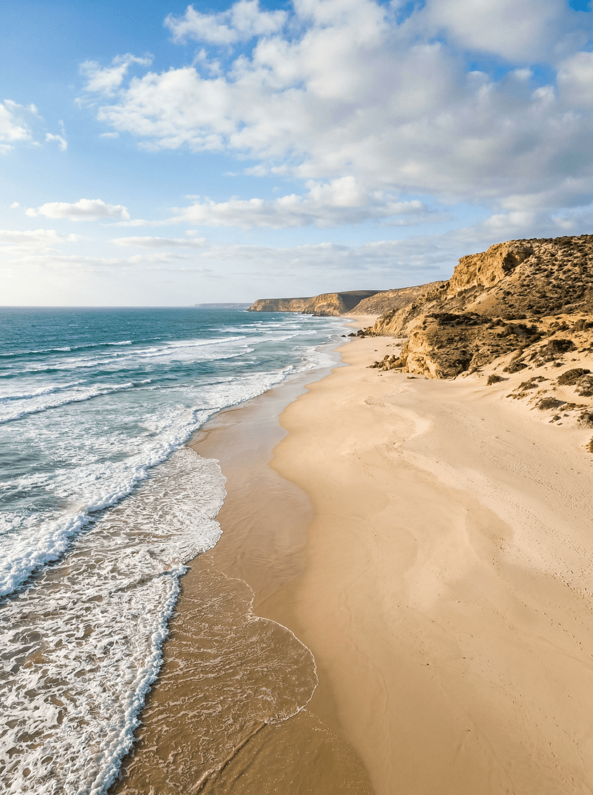
Low tide reveals a forty-kilometre Atlantic corridor between dune, cliff and river mouth.
Tyre tracks leave the stony plateau and the Atlantic coast unrolls into a long seam of sand, Atlantic water to the west, ochre cliff or dune to the east. The route changes character at each river mouth, where the line depends on tide and recent flow.
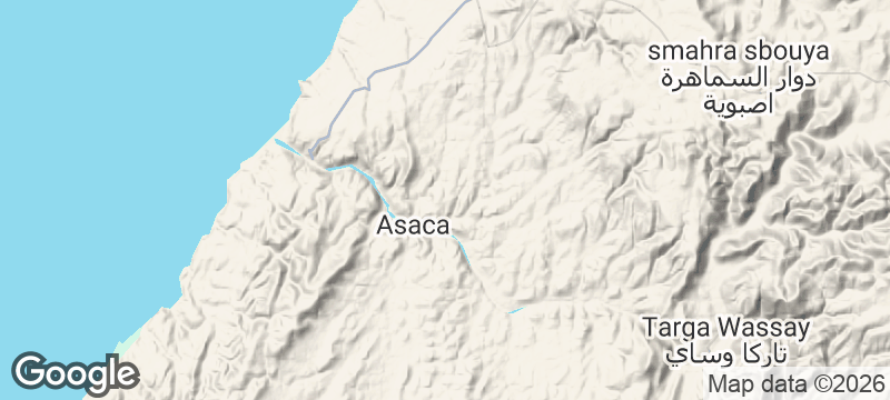
Plage Blanche covers roughly 40 kilometres between the Assaka and Drâa mouths, where tracks, ford, coastal dunes, cliffs and low-tide sand create a full expedition landscape. There is no single safe line through terrain altered by tide and recent flow. The coast therefore belongs to a professionally supported journey with water, communication, recovery equipment and enough daylight to turn back. Swimming stays out of the unsupervised Atlantic, and every camp or shore stop leaves with all its waste.
Solo
Let the supported crossing carry you from stony plateau to low-tide sand, keeping enough reserve for a changed line or long pause. The solitude comes from distance, not from travelling alone.
Couple
Build the coast day around the changing line between dune, cliff and river mouth rather than a sunset deadline. Stay within sight on shore walks and return while the route is still readable.
- Roughly 40 kilometres of coast run between the Assaka and Drâa river mouths.
- Tracks, river mouth, dune, cliff and low-tide sand change the coast's character across one journey.
- Ochre cliffs and dunes hold a narrow Atlantic corridor far beyond the nearest settled beach.
- Tide and river flow continually redraw the line between the Assaka and Drâa mouths.
Warm wood-oven khobz with baghrir and fresh orange juice at Fort Bou-Jerif.
Camel tagine served under a Berber tent at Fort Bou-Jerif.
Maruata
Mexico
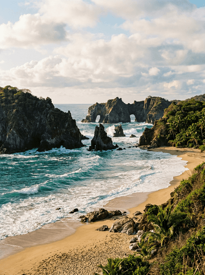
Nahua-run cabins face a wild Pacific cove of cliffs, sand and turtle habitat.
Ono-i-Lau
Fiji
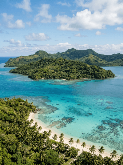
Fiji ends here: islands inside a single reef, the next land ninety kilometres of ocean away.
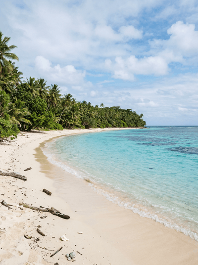
Uoleva Island
Tonga
No village, no roads, no shops, and humpbacks calving in the warm shallows offshore.
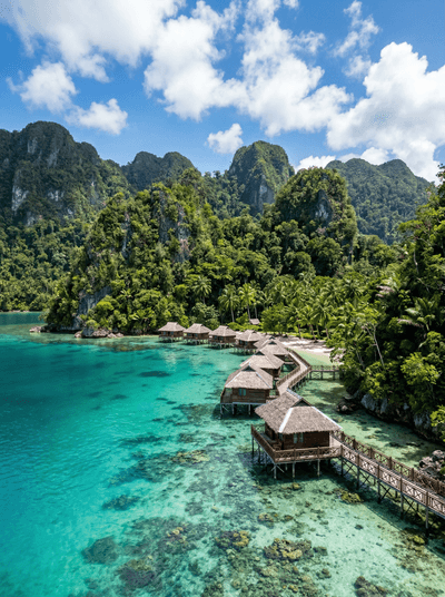
Ora Beach
Indonesia
Stilt bungalows stand where Seram's rainforest falls straight into coral.
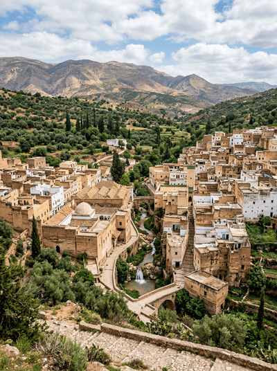
Sefrou
Morocco
Silk-buttoned festival dress meets river-cooled lanes in Morocco's century-old cherry capital.
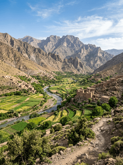
Aït Bouguemez Valley
Morocco
Dinosaur tracks survive on the valley floor among irrigated fields and earthen villages.
Taliouine
Morocco
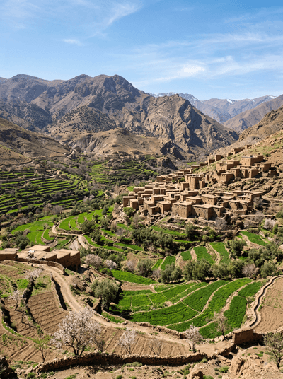
Three crimson threads leave each dawn-picked crocus in Morocco's saffron heartland.
Massa
Morocco
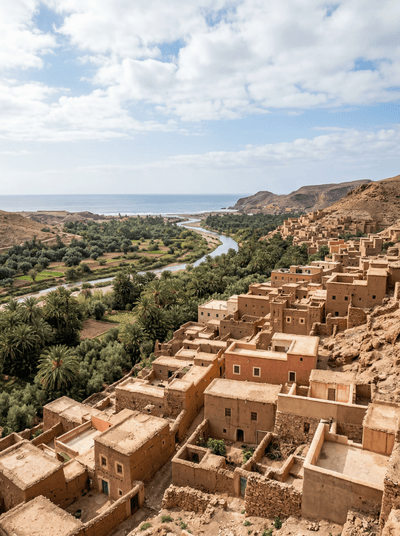
Mist, reeds and birdcalls follow one estuary path until Atlantic surf drowns them out.