
Solomon Islands
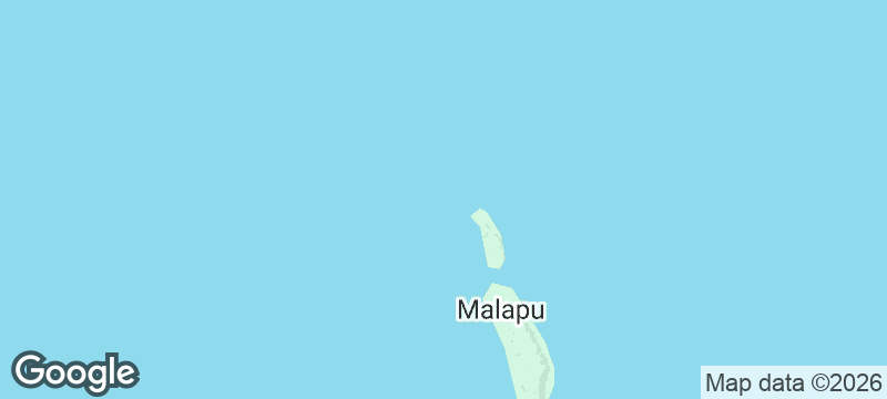
Reef Islands
Coral islets scattered like gravel across open ocean, reached by canoe navigators reading the stars.
The islets appear as dark smudges on a turquoise void, so low they vanish behind each swell. Coconut palms bend sideways in the trade wind, and the only sound between gusts is the slap of water against a canoe hull. The Reef Islands feel less like land and more like a negotiation between coral and ocean that the coral is slowly losing.
The Reef Islands are a scattered chain of coral islets and atolls in the Solomon Islands' Temotu Province, spread across open ocean northeast of Nendo. Communities on islands like Pileni, Fenualoa, and Ngawa are Polynesian outliers — their languages, navigation traditions, and social structures distinct from the Melanesian mainland. Traditional star navigation still informs inter-island travel, though outboard motors have shortened journey times. The islets sit barely above sea level, making them acutely vulnerable to cyclones and rising tides. Life here is defined by the reef: food comes from it, building material comes from it, and the rhythm of the tides governs daily movement.
Solo
Reaching the Reef Islands requires commitment — irregular boats, no fixed accommodation, total dependence on community hospitality. For the solo traveller seeking genuine remoteness and cultural immersion on Polynesian terms, there is almost nowhere more isolated that still welcomes visitors.
Couple
The Reef Islands offer a radical simplicity that strips a trip down to its essentials — reef, sky, food cooked in earth ovens, and the company of people living on some of the most fragile land in the Pacific. It is intimate by necessity.
- The Reef Islands consist of roughly 120 islets scattered across 1,000 square kilometres of open ocean — most are uninhabited, and inter-island canoe travel is the only way to move between them.
- Traditional wayfinding between the islands — reading swell patterns, star positions, and wind direction — is still actively practised and taught by navigators from Taumako island, one of the last places in the Pacific where this knowledge is transmitted to younger generations.
- Lagoon shallows between the islets expose at low tide into sandy flats that can be waded; the transition from open Pacific to knee-deep water happens within metres.
- Outer islands in the group have no supply boats and communicate with the mainland by radio; reaching them requires canoe travel arranged through the nearest inhabited island.
Coconut and reef fish form every meal — cooked in earth ovens dug into the coral sand.
Fresh tuna caught by hand-line from outrigger canoes, sliced raw with lime.

Teshima
Japan
A single raindrop museum on a terraced island where art and rice paddies merge.

Taquile Island
Peru
An island where men knit and textile quality determines your marital eligibility.

Amorgos
Greece
A whitewashed monastery clings to a 300-metre cliff face above crashing Aegean surf.

Isla Negra
Chile
Neruda's wild Pacific refuge where ocean spray salts the windows of his ship-shaped house.

Taro Island
Solomon Islands
A provincial capital where king tides creep through the streets, earmarked for abandonment to the sea.

Savo Island
Solomon Islands
Volcanic steam hisses through jungle where birds bury eggs in earth heated by magma.

Are'are Coast
Solomon Islands
Pan pipe orchestras send polyphonic harmonies across the lagoon in a tradition predating all written record.

Munda
Solomon Islands
A WWII airstrip turned dive hub, where barracuda patrol coral-crusted fighter plane wrecks.