Brazil
Serra do Cipó
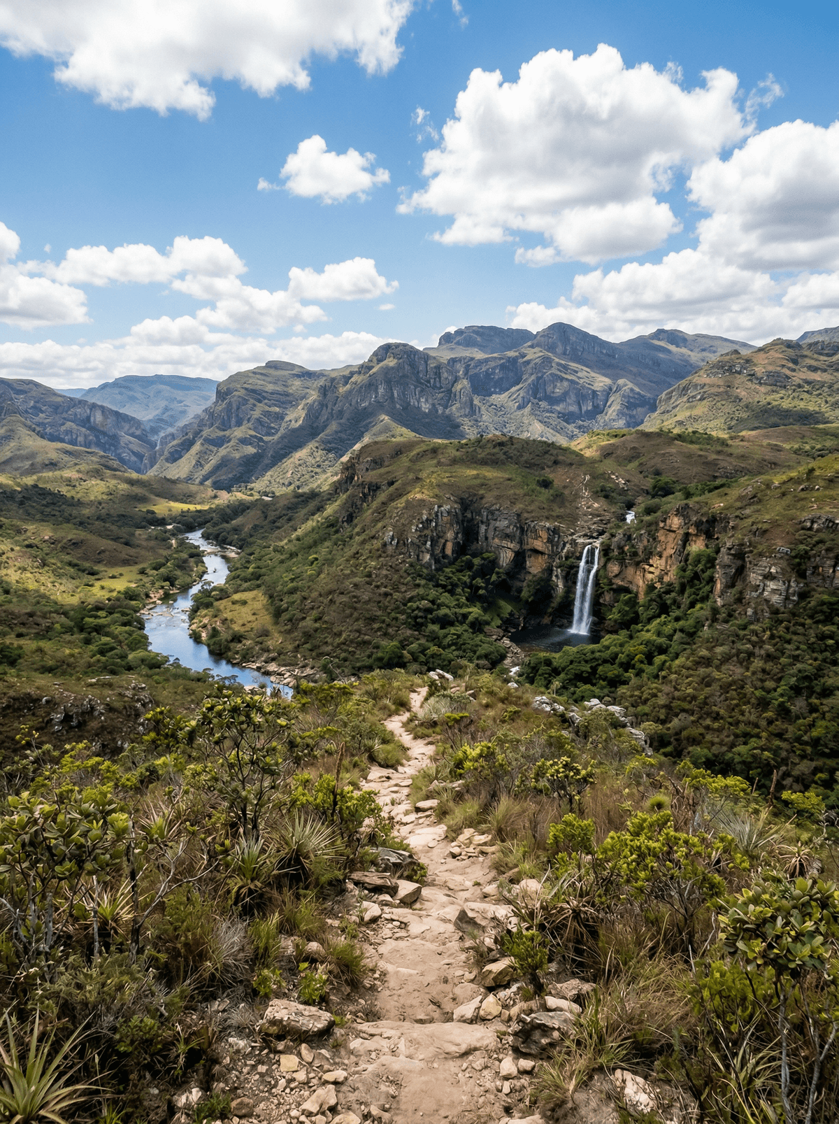
Stone meadows of flowers that hold their shape long after they dry, along a quartzite spine.
The forest stops and the campos rupestres start: low wiry flowering things with their roots in bare quartzite, many of them keeping their shape long after they have dried out. Water runs through all of it, over ledges and down into pools the colour of dark tea. The strange part is the arithmetic, because botanists have counted 3,299 plant species on this one stretch of mountain.
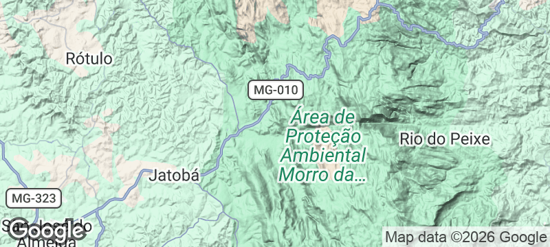
Serra do Cipó National Park protects 31,639 hectares of the southern Espinhaço, created by decree on 25 September 1984 and spread across Santana do Riacho, Jaboticatubas, Morro do Pilar and Itambé do Mato Dentro, roughly a hundred kilometres out of Belo Horizonte. Campos rupestres hold the high ground, forest follows the watercourses and the valleys carry something denser. The flora project run from the University of São Paulo has catalogued 3,299 land plant species here against 11,310 for the entire state, and the isolation of the high ground is the reason: species adapted to narrow bands of the Espinhaço and never left them. The park's symbol is a sempre-viva, whose flowers hold their form after drying, and nothing goes home in a pocket, since removing plants, stones or seeds is prohibited. The walking is longer than the names suggest, from four easy kilometres round the Circuito das Lagoas to sixteen for the Cachoeira da Farofa and twenty-four for the Cânion das Bandeirinhas, both measured there and back from the Portaria Areias.
Solo
The short circuits are the ones you can weigh up alone: four kilometres round the lagoas, 4.4 to the Mirante do Bem at about an hour and a half, eight along the Córrego das Pedras. Go between April and September, when the rain holds off and the falls run at a volume you can actually get into.
Couple
Base yourselves along the MG-010 in the village corridor, where the pousadas and kitchens are, and take one long day and one slow one. August is the month if you care about eating, because the whole corridor cooks against itself on a single set ingredient and hands the verdict to whoever turns up.
Friends
The Cânion das Bandeirinhas is twenty-four kilometres out of the Portaria Areias, graded difficult and budgeted at six hours, and hard sun, loose stone and water crossings all make that number optimistic. The Cachoeira da Farofa is the sixteen-kilometre version from the same gate. There is no shuttle waiting at the far end of either.
- Botanists working out of the University of São Paulo have recorded 3,299 species of land plant on this one section of range, against 11,310 known for the whole state of Minas Gerais.
- The park's own emblem is a sempre-viva, one of the eriocaulaceae whose flowers keep their form long after drying, and no plant, stone or seed may be carried out of the unit.
- The two best-known walks are longer than their names suggest: the Cachoeira da Farofa is sixteen kilometres there and back at about four hours, and the Cânion das Bandeirinhas is twenty-four, graded difficult, budgeted at six.
- The park covers 31,639 hectares of Cerrado, created by decree on 25 September 1984, across Santana do Riacho, Jaboticatubas, Morro do Pilar and Itambé do Mato Dentro.
Through August the restaurants of Santana do Riacho compete on one set ingredient and the public votes: Mangiare enters an escondidinho of ora-pro-nóbis, the leaf cactus Minas eats as a green, on a cassava base with cream and local cheese.
Bistrô Café da Serra answers with Nhoque Raiz, green-maize and cassava gnocchi under beef rib and gratinated queijo do Serro, and Docipó Café with maize cream, guava in syrup, cashew crisp and a lemongrass and rosemary sauce.
Knoydart Peninsula
Scotland
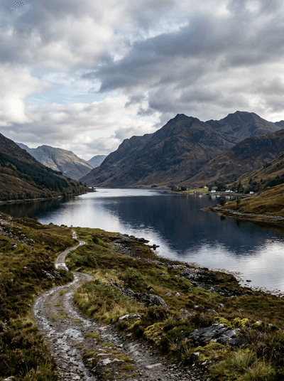
No road reaches this peninsula — you arrive by boat or not at all.
Hisma Desert
Saudi Arabia
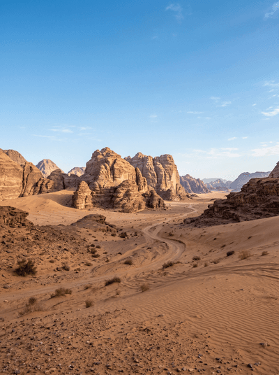
Red sandstone towers erupt from golden sand like a landscape sculpted on another planet.
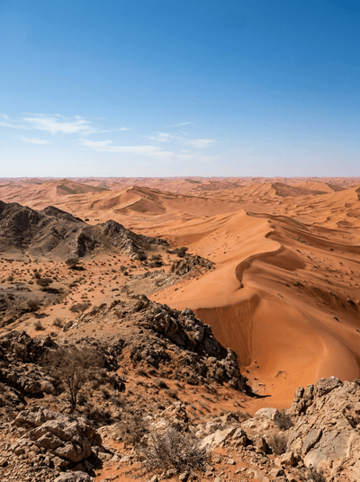
Empty Quarter Edge
Oman
The largest continuous sand desert on Earth begins where Dhofar's gravel plains give out.
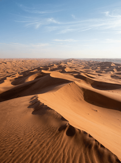
Rub' al Khali
Saudi Arabia
Dunes two hundred metres high stretching unbroken to every horizon, silence pressing like weight.
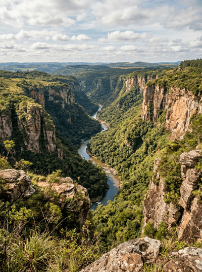
Canyon Guartelá
Brazil
A river that refused to go around cut Brazil's longest canyon dead straight for thirty kilometres.
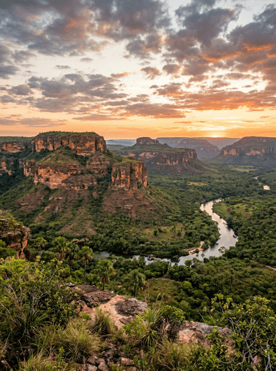
Chapada das Mesas
Brazil
Mesas to the horizon, and a seventy-metre fall past a rock they read as the saint.
Chapada Diamantina
Brazil
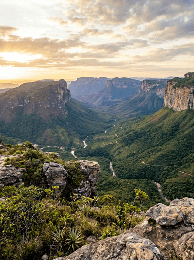
A three-hundred-and-eighty-metre waterfall, in a park with no signposts and no phone signal.
Serra do Rio do Rastro
Brazil
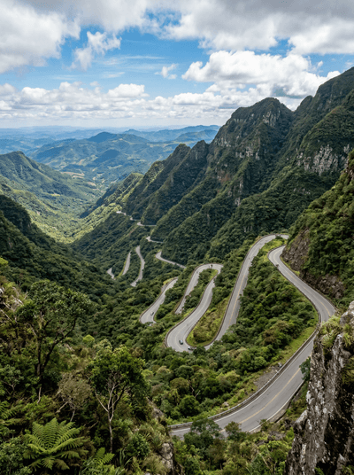
Hairpins carved into a sheer cliff face, climbing out of the lowlands and into cloud.