
England
Spurn Point
A three-mile sand spit so narrow the sea threatens to snap it in half.
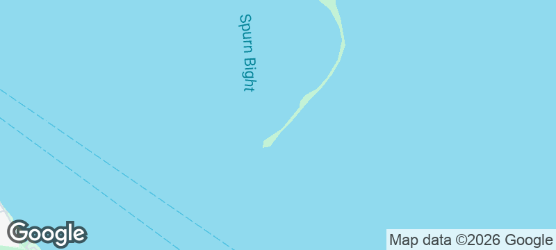
A sand spit three miles long and barely fifty metres wide curves into the Humber Estuary, narrowing to a point where the sea on both sides is close enough to hear in stereo. Spurn Point in the East Riding of Yorkshire is the most fragile landform in England — a thread of sand the North Sea is slowly pulling apart.
Spurn Point, managed by the Yorkshire Wildlife Trust, extends 5.5 kilometres into the mouth of the Humber Estuary from the Holderness coast. The spit has been breached, destroyed, and reformed on an approximate 250-year cycle — the current iteration dates from the late 17th century. The tip holds the remains of military installations from both World Wars, a disused lighthouse, and the Spurn Discovery Centre. A tidal surge in December 2013 breached the spit road, making the point accessible only on foot or by the Trust's Unimog vehicle at low tide. The Holderness coast behind Spurn erodes at an average of two metres per year — the fastest coastal retreat in Europe — feeding the spit with sediment carried south by longshore drift. The point's position at the estuary mouth attracts migrating birds in spring and autumn, making it one of the premier birdwatching sites in England.
Solo
Walk the spit to the point and the sea narrows on both sides until you stand at the end of England. The military ruins, the eroding coast, the fragility of the sand — Spurn is a meditation on impermanence.
Couple
The walk to the point is atmospheric and the return reveals the Holderness coast in a different light. Share the strangeness of standing on land the sea will eventually reclaim.
- A three-mile sand spit so narrow that the North Sea threatens to break through and snap it in half with every winter storm.
- The abandoned lighthouse and military buildings at the tip tell the story of a community that lived on borrowed land.
- The Humber Estuary at the spit's end is a migration highway — rare birds appear with a regularity that fills the hides in autumn.
- The walk along the spit crosses sand, shingle, and saltmarsh in a landscape that is actively disappearing — geology in real time.
Fish and chips from Grimsby docks, still the beating heart of English fishing.
Crab sticks and tea from the Spurn Discovery Centre at the spit's fragile tip.

Dhanushkodi
India
A cyclone-destroyed ghost town dissolving into the sea at the very edge of the subcontinent.

Parque Nacional Bernardo O'Higgins
Chile
Chile's largest park, reachable only by boat, where glaciers calve into fjords no trail has reached.

Lake Magadi
Kenya
Pink soda crust stretches to the horizon in a lake so alkaline it burns skin.

Hasankeyf
Turkey
A 12,000-year-old Tigris settlement now partly drowned by a dam — cave dwellings and minarets half-submerged.

Wistman's Wood
England
Twisted ancient oaks dripping with moss in a silence so deep it hums.

Upper Teesdale
England
High Force thundering seventy feet into a plunge pool while arctic gentians bloom.

Berwick-upon-Tweed
England
A fortified border town that changed hands between England and Scotland fourteen times.

Buttermere
England
A mirror lake ringed by fells so symmetrical the reflection is indistinguishable from the real.