
Nauru
The Ring Road
Salt air and phosphate dust on the road that loops an entire country in nineteen kilometres.
Salt spray drifts across warm asphalt. The reef flat shimmers to your left, shallow water stretching towards the open Pacific. To your right, coconut palms give way to the abrupt edge where Nauru's green coastal fringe meets the stripped interior. Nineteen kilometres of road, and you are walking the entire perimeter of a country.
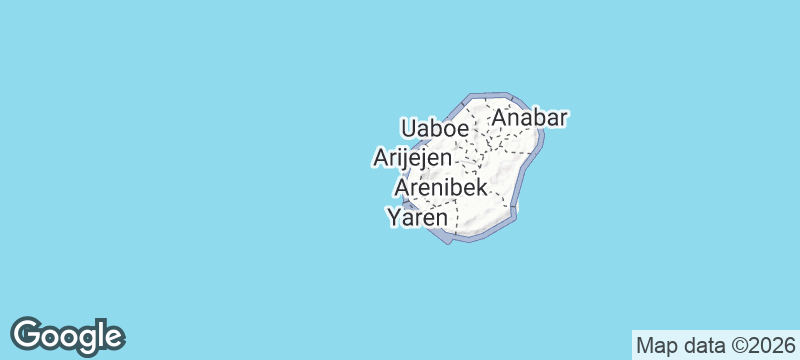
The Ring Road circles Nauru's coastline, passing through all fourteen of the island's districts in a single loop of roughly nineteen kilometres. On foot or by bicycle, the full circuit takes half a day and delivers the entire story of the island: Japanese bunkers from the 1942-1945 occupation sit half-buried in coral along the shoreline, a small fish market sells skipjack straight off the reef, district churches anchor each community, and the contrast between the lush coastal strip and the mined-out interior is visible at every turn inland. At low tide, the exposed reef flat creates a corridor of shallow water between the road and the deep ocean. No other road on Earth lets you circumnavigate an entire nation in an afternoon.
Solo
Walk or cycle the full loop at your own pace. Nineteen kilometres is a comfortable day — enough time to stop at the fish market, explore a half-buried bunker, and sit on the reef flat watching the tide come in.
Couple
A shared journey around an entire country in a single day. The rhythm of the walk — reef, palm shade, village, bunker, repeat — is meditative, and the sense of having circumnavigated a nation together stays with you.
Friends
Hire bicycles if you can find them, or walk the loop as a group. The bunkers invite exploration, the fish market invites a stop, and the sheer novelty of looping a country before dinner gives the day a story worth retelling.
- Nineteen kilometres of asphalt circles the entire country — walking or cycling the loop takes half a day and passes through every district Nauru has.
- Japanese bunkers appear at intervals along the shoreline, half-buried in coral and vegetation, remnants of the three-year occupation that ended in 1945.
- At low tide the reef flat is exposed along the ocean side, creating a shimmering corridor of shallow water between the road and the open Pacific.
- The route passes a small fish market, district churches, and the contrast between the green coastal fringe and the stripped interior — the entire story of Nauru in nineteen kilometres.
Stop at the small roadside fish market for skipjack sold straight off the reef, still glistening.
Coconut toddy from the palms that line the road — tapped fresh and sweet on the coastal fringe.

Ross Island
India
A British colonial headquarters slowly being digested by ficus roots in the Andaman Sea.

Grímsey Island
Iceland
A wind-battered island where you step across the Arctic Circle among a million nesting seabirds.

Khasab
Oman
Arabia's deepest fjords meet the Strait of Hormuz at this harbour town on Oman's edge.

Busan
South Korea
Fish markets the size of aircraft hangars spilling onto beaches backed by neon-lit cliff temples.

Command Ridge
Nauru
Japanese guns rust on their wartime mounts, still guarding empty Pacific from atop Earth's third-smallest country.

Moqua Caves
Nauru
Cool freshwater pools hidden inside coral limestone on a Pacific island with no rivers at all.

Buada Lagoon
Nauru
Freshwater shimmers beneath coconut palms at the heart of a coral island, milkfish circling below.