
Kyrgyzstan
Toktogul Reservoir
Turquoise water filling a canyon that drowned 26 villages — a lake that swallowed history.
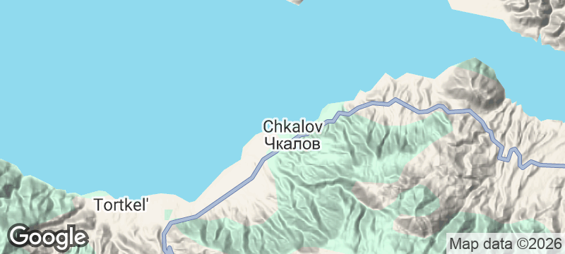
The water is an impossible shade of turquoise, filling a canyon that swallowed twenty-six villages when the dam gates closed. Toktogul Reservoir in Kyrgyzstan's Jalal-Abad province stretches between arid hills that show no trace of the settlements now resting beneath the surface. On calm days the reflections are so precise that the canyon walls appear to continue downward forever.
Toktogul Reservoir was created in 1975 when the Toktogul Dam — one of the largest hydroelectric facilities in Central Asia — flooded a section of the Naryn River valley. Twenty-six villages were relocated to make way for the reservoir, which now spans roughly 170 square kilometres. The lake serves as a critical water and energy resource for Kyrgyzstan and its downstream neighbours, making it as much a geopolitical feature as a geographical one. Despite its artificial origins, the reservoir has developed its own ecology, with fish populations that support small-scale local fisheries. The surrounding hills are dry and sparsely vegetated, giving the turquoise water an almost surreal contrast. The main Bishkek-to-Osh highway runs along its northern shore, offering passing travellers views that stop cars.
Couple
The reservoir's eerie calm and the tension between its natural beauty and its buried history create a mood that suits two people with time to sit and absorb it. Shoreline picnics with fried fish feel earned by the drive to get here.
Family
The calm, warm water in summer makes for easy swimming and paddling, and the roadside fisheries offer children a chance to watch the catch come in. The reservoir is a natural stopping point on the long Bishkek-to-Osh drive.
- The reservoir was filled in 1975 when the Toktogul Dam flooded the Naryn River valley, submerging 26 villages and a town.
- The water appears intensely turquoise from glacial silt carried by the Naryn River from upstream glaciers.
- Small family fishing operations on the shoreline catch trout and barbel directly from the reservoir and cook them to order.
- The canyon walls above the waterline rise steeply on both sides — the road through clings to the cliff face at several points.
Freshly caught fish fried at family-run fisheries along the reservoir's shore.
Chaikhana meals of shorpo and fresh bread at the roadside stops overlooking the water.

Al Hoceïma
Morocco
A Mediterranean cove ringed by the Rif where fishing boats bob in glass-clear water.

Plockton
Scotland
Palm trees line a Highland loch shore where seals bask on rocks below snow-capped peaks.

Uvita & Marino Ballena
Costa Rica
A sandbar shaped like a whale's tail emerges at low tide while humpbacks breach offshore.

Lambert's Bay
South Africa
Walk a causeway to an island of Cape gannets — the noise overwhelms everything else.

Barskoon Valley
Kyrgyzstan
Waterfalls named Tears of the Snow Leopard in a gorge where Gagarin once recovered from space.

Jeti-Ögüz
Kyrgyzstan
Seven rust-red sandstone bulls rearing from the valley floor, a broken heart cleaved beside them.

Burana Tower
Kyrgyzstan
An 11th-century minaret halved by earthquakes — all that remains of a capital swallowed by steppe.

Cholpon-Ata Petroglyphs
Kyrgyzstan
Bronze Age hunters carved snow leopards chasing deer across 5,000 boulders overlooking a lake.