Mexico
Xochimilco
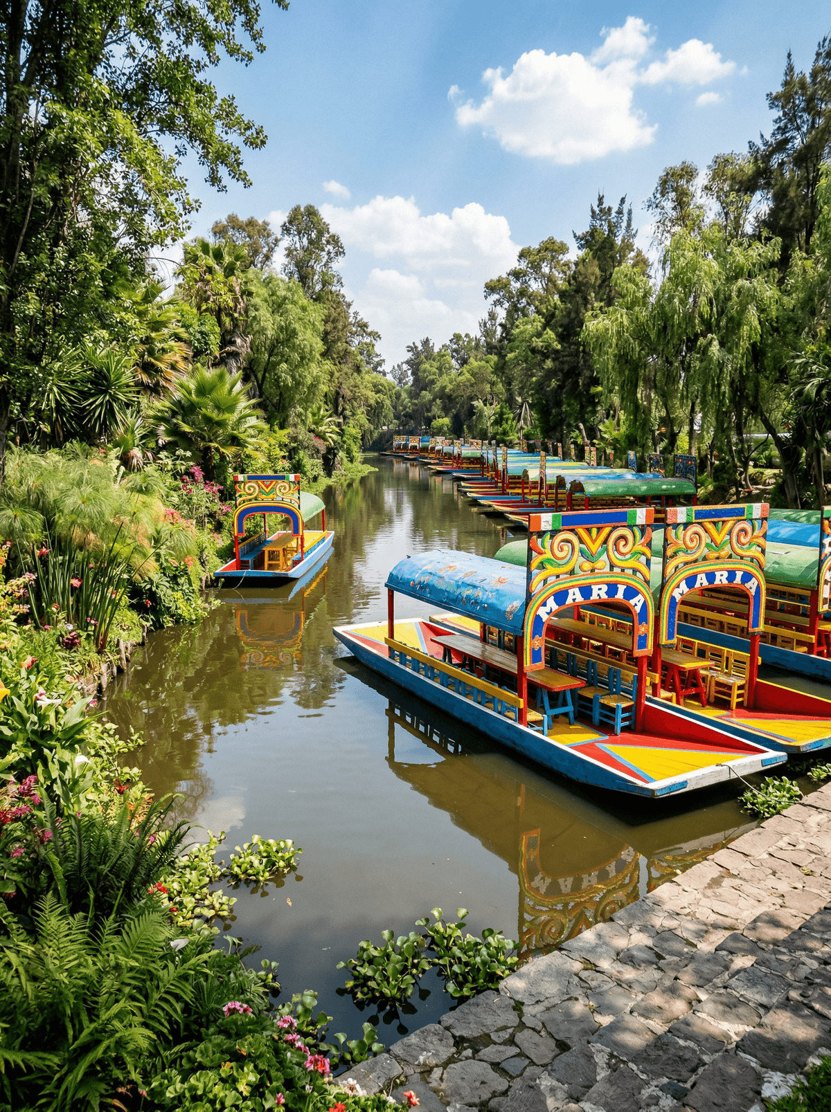
Working chinampas survive beyond the music and colour of Xochimilco's trajineras.
The party canals get the photographs. A few channels over, farmers still pole between chinampas, the island fields that fed the Aztec capital and are growing vegetables to this day.
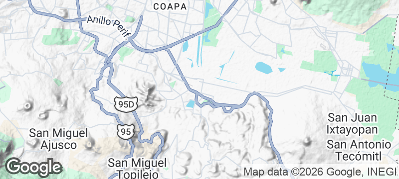
Xochimilco preserves working chinampa agriculture in the surviving southern lake landscape, the island-field system that once provisioned the valley year-round. Trajinera routes range from lively social canals, where vendor canoes pull alongside with food and music, to quieter ecological visits with the farmers themselves. An authorised embarcadero and an agreed route keep the day easy.
Friends
Take a social canal with vendor canoes and music alongside.
Family
Choose a daytime route and let the floating kitchen come to the boat.
Couple
Book a quiet chinampa visit with the farmers instead of the party canals.
- Xochimilco preserves working chinampa agriculture within the surviving southern lake landscape.
- Trajinera routes range from lively social canals to quieter ecological visits with producers.
- An authorised embarcadero and an agreed route keep the day straightforward.
Vendor canoes pull alongside the trajineras selling enmoladas, elotes, tlacoyos and quesadillas afloat.
Chinampa farms still grow the vegetables, and agritourism visits eat them at the source.
Jizan
Saudi Arabia
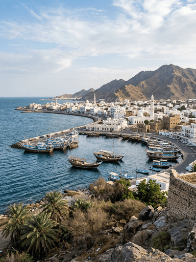
A tropical port city where African-influenced markets and mangrove creeks meet the Red Sea.
Bonegi Beach
Solomon Islands
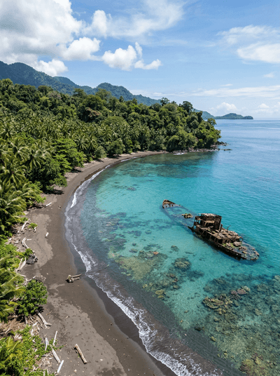
A freighter's bow still breaks the surface where she was beached in 1942.
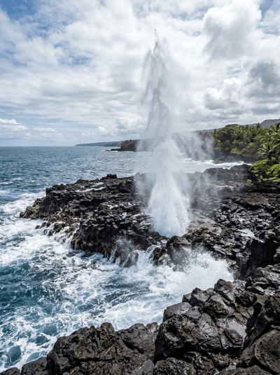
Alofaaga Blowholes
Samoa
Taga guides drop coconuts into the vents and the ocean fires them back like cannonballs.
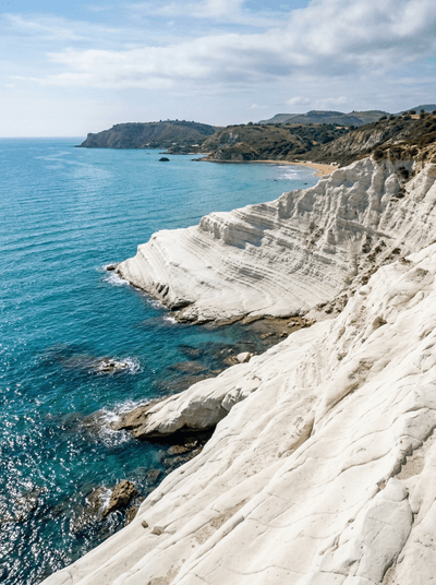
Scala dei Turchi
Italy
White marl cliffs sculpted into natural staircase steps, glowing orange at sunset above the Mediterranean.
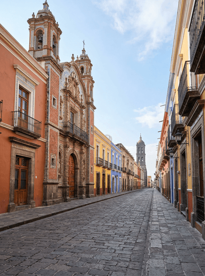
Puebla
Mexico
A Talavera-tiled city where facades dazzle blue and white, and mole poblano carries its name.
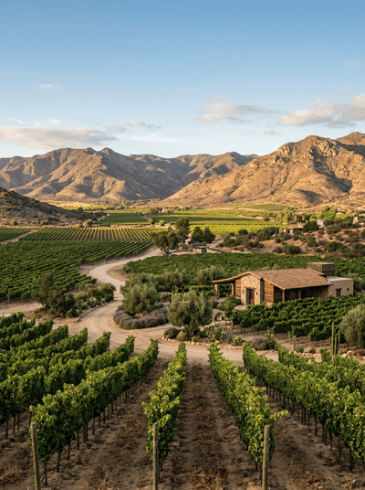
Valle de Guadalupe
Mexico
Dusty vineyard roads link cellar doors and open-fire kitchens across northern Baja.
Tequila
Mexico
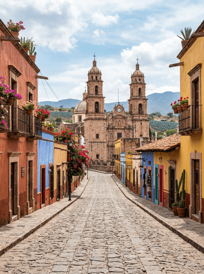
Blue agave fields stretch to the volcano's base, the spirit of Mexico distilled here for centuries.
Mérida
Mexico
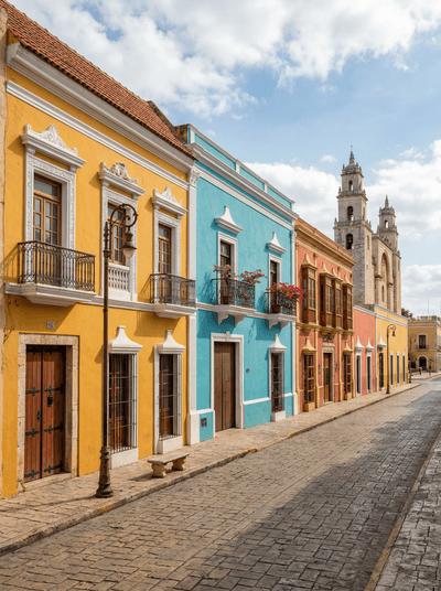
A white-walled city where henequen mansions age gracefully and Sunday streets fill with dancing.