
Argentina
Abra del Acay
Ruta 40 hits its ceiling at 4,895 metres on an unpaved pass above the clouds.
The Abra del Acay pass in Salta Province reaches 4,895 metres on an unpaved road through the Andes, making it the highest paved point on the famous Ruta 40 — except it is not paved here, it is gravel and loose rock and altitude and the knowledge that the Ruta 40 signs continue in both directions from this point as if the 4,895 metres were unremarkable. The road crosses the continental divide in a landscape of pure puna: brown grass, no trees, llama herds, and a sky that is closer than it should be.
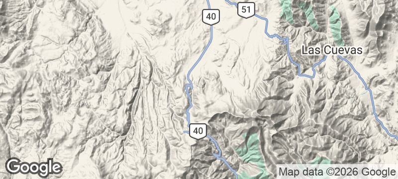
Abra del Acay is the highest point on the Argentine Ruta 40, crossing the Andes between the Calchaquí Valleys (west) and the Puna (east) at 4,895 metres in Salta Province. The Ruta 40 — the longest national highway in Argentina, running 5,194 kilometres from the Bolivian border to the Strait of Magellan — crosses multiple high-altitude passes in its northern section, with Acay as the extreme point. The surrounding landscape is the puna seca (dry puna) at its most austere — the altitude above 4,000 metres supports only coiron grass, yareta cushion plants, and the occasional llama herd managed by Atacameño communities that have pastured the puna since pre-Inca times. The descent on the eastern side toward La Poma and eventually Salta follows the Calchaquí River canyon through a geological sequence that compresses 300 million years of rock formation into a single day's drive.
Solo
Crossing the Abra del Acay alone — no other vehicle in sight, the altimeter reading 4,895, the puna stretched in every direction without a human feature — is the Ruta 40's most extreme point and the one that makes the rest of the route legible in retrospect. The altitude is real and should be respected.
Couple
The Acay crossing makes most sense as part of the Calchaquí Valley loop — Cafayate north through Cachi, the Abra del Acay over the top, La Poma down the eastern descent, and back to Salta through the quebrada. Two people sharing that circuit over two days have covered a geological, cultural, and physical sequence that few travellers in South America match.
Friends
A group attempting the Abra del Acay needs one vehicle that can handle the road (a standard SUV is sufficient in the dry season) and two people who have acclimatised sufficiently not to feel the altitude before the pass. The summit photograph at the Ruta 40 marker, at 4,895 metres, is the correctly Argentine souvenir.
- Abra del Acay at 4,895m is the highest paved point of Ruta 40 — the pavement ends 20km below on the northern approach.
- The pass has no services, no fuel, and often no other traffic — altitude is the only company on the crossing.
- The view from the summit crosses the Puna de Atacama — salt flats and volcanic cones of three countries are visible on a clear day.
- Llama herds cross the pass regularly, driven by Andean herders between summer and winter pastures.
Tamales salteños wrapped in corn husks and locro stew warm altitude-chilled travellers in La Poma below.
Coca tea brewed in tin cups at roadside shelters fights the soroche before the final ascent.

Tomanivi
Fiji
Cloud forest so thick the trail vanishes, Fiji's highest peak at 1,324 metres above the canopy.

Mount Meru
Tanzania
Kilimanjaro's volcanic neighbour where giraffes graze the lower slopes and the summit pierces cloud.

Mount Yasur
Vanuatu
Molten rock spits skyward every few minutes from a crater you can walk to at dusk.

Tre Cime di Lavaredo
Italy
Three vertical rock towers punching through alpine cloud, their shadows sweeping across scree fields.

Lago Strobel
Argentina
A plateau lake where rainbow trout grew to record sizes, its existence a secret for decades.

Dunas de Tatón
Argentina
Sand dunes rise over a thousand metres at the foot of the Andes where nobody goes.

Iguazú Falls
Argentina
275 waterfalls collapse into a devil's throat of mist, thunder, and rainbow spray.

Parque Nacional Baritú
Argentina
Subtropical jungle with no road access, reached only by mule trail: Argentina's most inaccessible park.