Morocco
Aguelmame Azigza
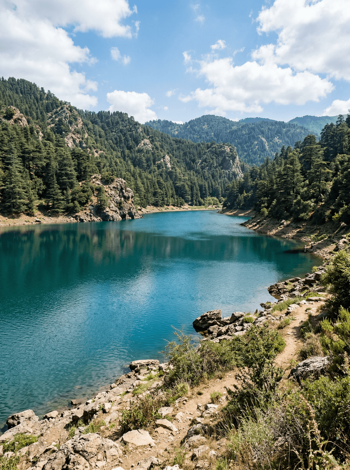
A blue-green lake fills a limestone bowl where cedar forest comes down to the water.
Dark cedar and holm oak descend into a pale limestone bowl, stopping at a blue-green lake 1,470 metres up in the Middle Atlas. The road ends in the forest, and the visitor shore opens into a quiet circuit of water, exposed stone and cedar shade.
Follow the cedar edge in the morning, when wetland birds work the shallows and the basin changes colour with the light. Karst limestone, holm oak and open water make a compact Middle Atlas walk beyond a roadside picnic. The hollow formed in Middle Jurassic limestone and is seasonally fed by rain and groundwater. Peer-reviewed analysis measured a 52% loss of lake surface between 2017 and 2024, a stark historical marker of pressure on this wetland landscape.
Solo
Trace the visitor shore at an unhurried pace, then continue into the cedar forest on a walking or birding route. Carry offline directions and leave macaques, nesting birds and exposed lakebed undisturbed.
Couple
Arrive in the softer morning light, follow the cedar edge and share a picnic only in an established visitor area. Return to Khénifra for cooked Atlas trout, allowing the changing lake itself to remain the day's central conversation.
Family
Keep to the developed shore and choose a short forest walk whose length suits the youngest traveller. Bring water, layers and a rubbish bag; watch for birds together while letting any macaque encounter be a bonus, never the plan.
- Cedar and holm oak descend into a blue-green karst lake basin at 1,470 metres.
- Karst limestone and open water place two defining Middle Atlas landscapes in one compact basin.
- The wider national-park forest links Atlas cedar habitat with the Barbary macaque's remaining range.
- Peer-reviewed analysis measured a 52% loss of lake surface between 2017 and 2024.
A homemade chicken tagine with fresh mountain bread, cooked in a food tent beside the lake.
Fresh msemen with mint tea and mountain milk from one of the lakeside Amazigh-style kiosks.
Dilek Peninsula
Turkey
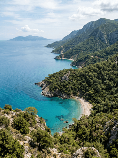
Wild horses drink from Aegean coves in a national park where pine forest meets the sea.
Huancaya
Peru
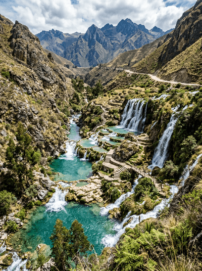
Turquoise terraces and waterfalls stepping down a valley where the river runs blue.
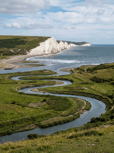
Cuckmere Haven
England
A river meandering to the sea through chalk cliffs that glow white against storm-grey skies.
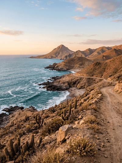
Parque Nacional Pan de Azúcar
Chile
Cactus-covered desert slopes fall straight into cold Humboldt Current coves.
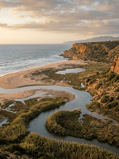
Souss-Massa National Park
Morocco
Red-faced ibises lift from Atlantic cliffs while migrants crowd a desert-edge estuary.
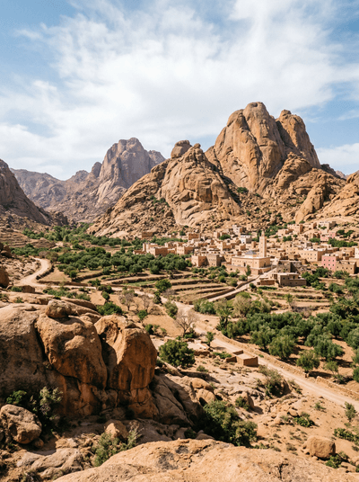
Tafraout
Morocco
Pink granite boulders above almond trees that blossom white in February.
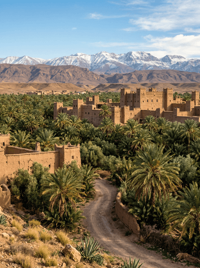
Skoura
Morocco
Water runs beneath twenty-five square kilometres of palms and a kasbah still occupied by its family.
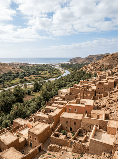
Massa
Morocco
Mist, reeds and birdcalls follow one estuary path until Atlantic surf drowns them out.