Chile
Chiloé Island
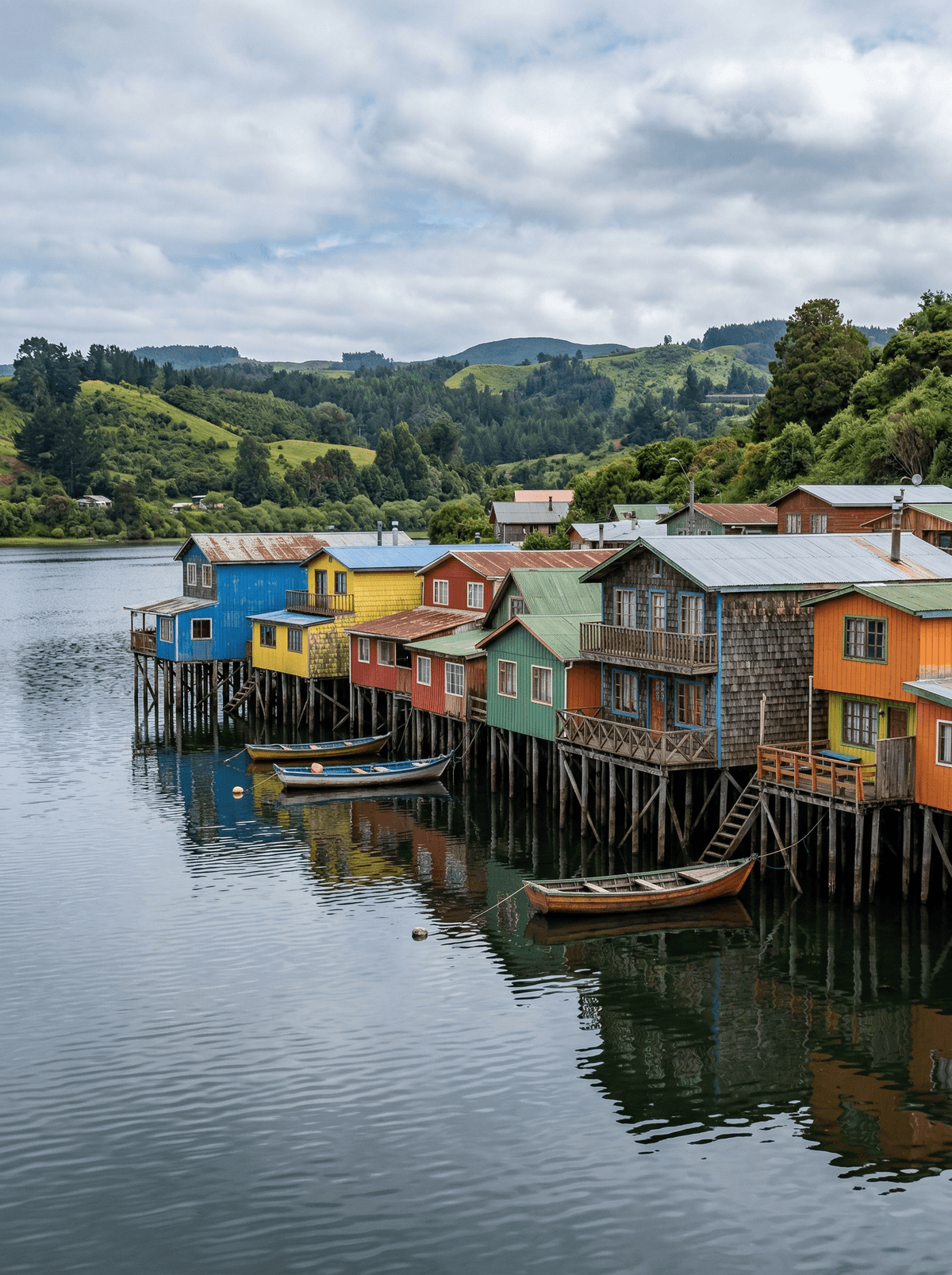
Palafitos, timber churches and ferries unfold through an archipelago softened by rain.
Smoke and sea mist hang over shingled roofs while boats move between green islands. At low tide, palafito posts stand exposed beneath houses painted against the grey.
Chiloé is an archipelago of working towns, wetlands, churches and small islands, with road and ferry links that invite several days of movement. Food and craft traditions give the rain-dark landscape human depth without turning belief into spectacle. Castro, Dalcahue and a smaller island make a richer sequence than a single hurried circuit.
Solo
Ferries and compact towns make an independent circuit possible, with market kitchens providing natural pauses.
Family
Use Castro as the base for short ferry crossings, palafitos and timber churches without long trail days.
- Chiloé’s appeal lies in a whole archipelago of palafito towns, wetlands, ferry crossings and timber churches rather than one isolated sight.
- Road and ferry links make Castro, Dalcahue and the smaller islands practical parts of a multi-day circuit.
- Living Chilote food and craft traditions give the landscape cultural depth without turning local beliefs into spectacle.
Curanto al hoyo steams shellfish, meats, milcao and chapalele under giant nalca leaves in a stone-heated pit.
Chiloé's farmers traditionally kept 800 to 1,000 native potato varieties — the root of nearly every Chilote plate.
Tintagel
England
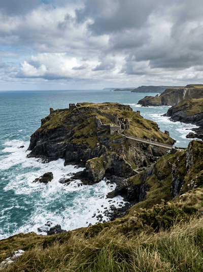
Cliff-edge ruins where Arthurian legend bleeds into the sea spray and the rock face.
Nämforsen
Sweden
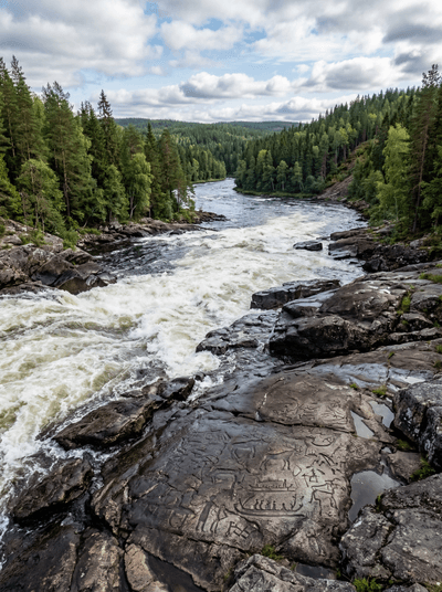
Thousands of carvings chiselled into river granite across four millennia of belief.
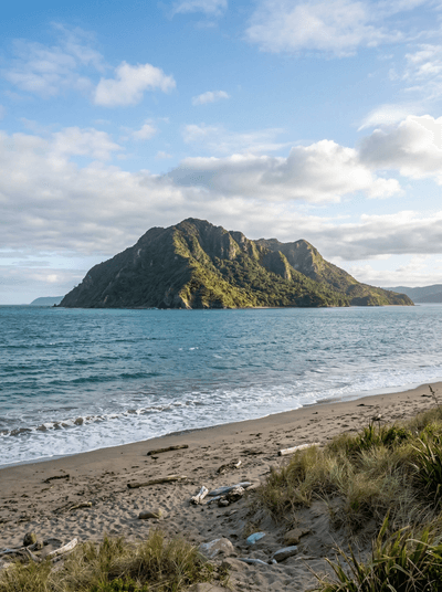
Kapiti Island
New Zealand
A predator-free forest fortress where the dawn chorus feels physically dense.
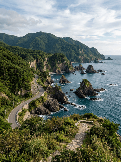
Sado Island
Japan
An exile island where gold miners, taiko drummers and crested ibis coexist in the fog.
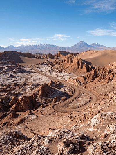
Valle de la Luna
Chile
Copper light skims salt ridges and sculpted clay at the edge of the Atacama.
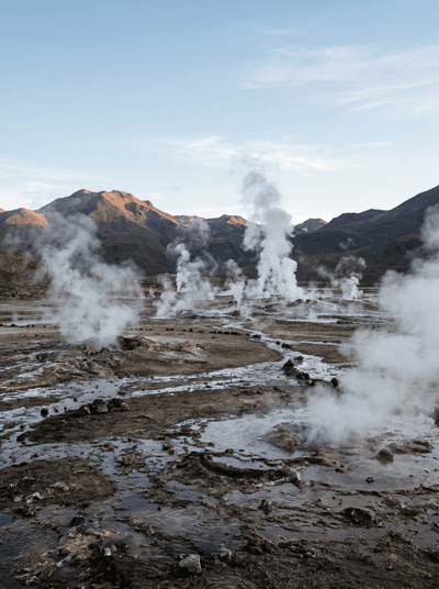
El Tatio Geysers
Chile
Steam columns rise into freezing dawn air at 4,300 metres in the Andes.
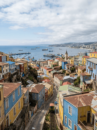
Valparaíso
Chile
Rattling hillside lifts climb between painted houses above a working Pacific port.
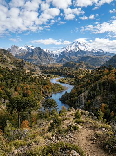
Alto Biobío
Chile
The young Biobío runs beneath araucaria heights through living Pewenche high country.