
Egypt
Great Sand Sea
Sand ridges higher than buildings stretching to the Libyan border, hiding shards of cosmic glass.
Dune ridges stretch parallel to the horizon for hundreds of kilometres, their crests knife-sharp against a sky that holds no cloud, no contrail, no interruption. Between the ridges, corridors of flat gravel desert hide fragments of Libyan desert glass — pale green shards formed by a cosmic impact twenty-nine million years ago, scattered across the surface like discarded jewels. Nothing moves here except sand and wind.
The Great Sand Sea is one of the largest erg systems on Earth, covering roughly 72,000 square kilometres of western Egypt and eastern Libya. Its longitudinal dune ridges — some exceeding 140 kilometres in length and 100 metres in height — run in near-parallel lines from north to south, making east-west travel notoriously difficult. The area is the only known source of Libyan desert glass, a naturally occurring glass created by an ancient meteorite impact or airburst, fragments of which were used in Tutankhamun's pectoral scarab. Exploration of the Great Sand Sea requires a fully equipped desert convoy with GPS navigation, satellite communication, and supplies for multiple days of self-sufficiency. The sand sea begins at the western edge of Siwa Oasis and extends to the Libyan border and beyond.
Friends
This is one of the last genuinely empty landscapes accessible from a starting point with infrastructure. The shared logistics of a sand-sea crossing — navigation, camp setup, supply management — build the kind of camaraderie that only comes from depending on each other in a place where help is days away.
- Libyan Desert Glass — natural silica formed by a meteorite impact 28 million years ago — was used in Tutankhamun's jewellery, a scarab found in his tomb.
- The sand ridges reach 100 metres — dune surfing and sandboarding over the crests is possible on the northern margins.
- Temperatures at ground level exceed 80°C in summer — expedition season runs exclusively between November and February.
- A GPS-tracked route through the sea requires military permission and is one of the most remote legally accessible expeditions in Africa.
Expedition provisions only: tinned goods, dried food, and tea brewed on camp stoves between the dunes.
Bedouin flatbread baked in sand beneath coals, eaten as stars fill every degree of sky.
The nearest fresh food is back in Siwa — the desert teaches appreciation for simplicity.

Hingol National Park
Pakistan
Wind-carved rock pillars resembling alien temples standing guard over Pakistan's most surreal coastline.
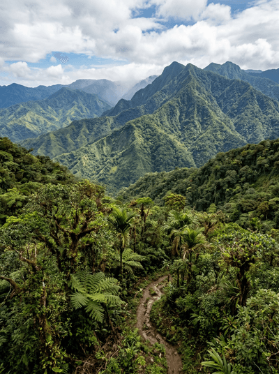
La Amistad International Park
Panama
A binational cloud forest so dense and remote that vast sections remain unmapped.

Tunceli
Turkey
Turkey's least-visited province — wolf country, sacred springs, and Alevi shrines in roadless valleys.

Arabel Plateau
Kyrgyzstan
Treeless tundra at 3,800 metres dotted with fifty glacial lakes and retreating ice caps.

Mons Porphyrites
Egypt
The Roman Empire's only source of imperial purple stone, quarries still scarring red mountains.

Wadi al-Gemal
Egypt
Red desert wadis spilling into turquoise sea, Ababda nomads herding camels on empty shore.

Coloured Canyon
Egypt
Sandstone walls rippling in rust, ochre, and violet, narrow enough to touch both sides.

Gebel Uweinat
Egypt
Prehistoric rock art galleries at the meeting point of Egypt, Libya, and Sudan.