Egypt
Wadi al-Gemal
Red desert wadis spilling into turquoise sea, Ababda nomads herding camels on empty shore.
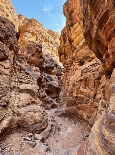
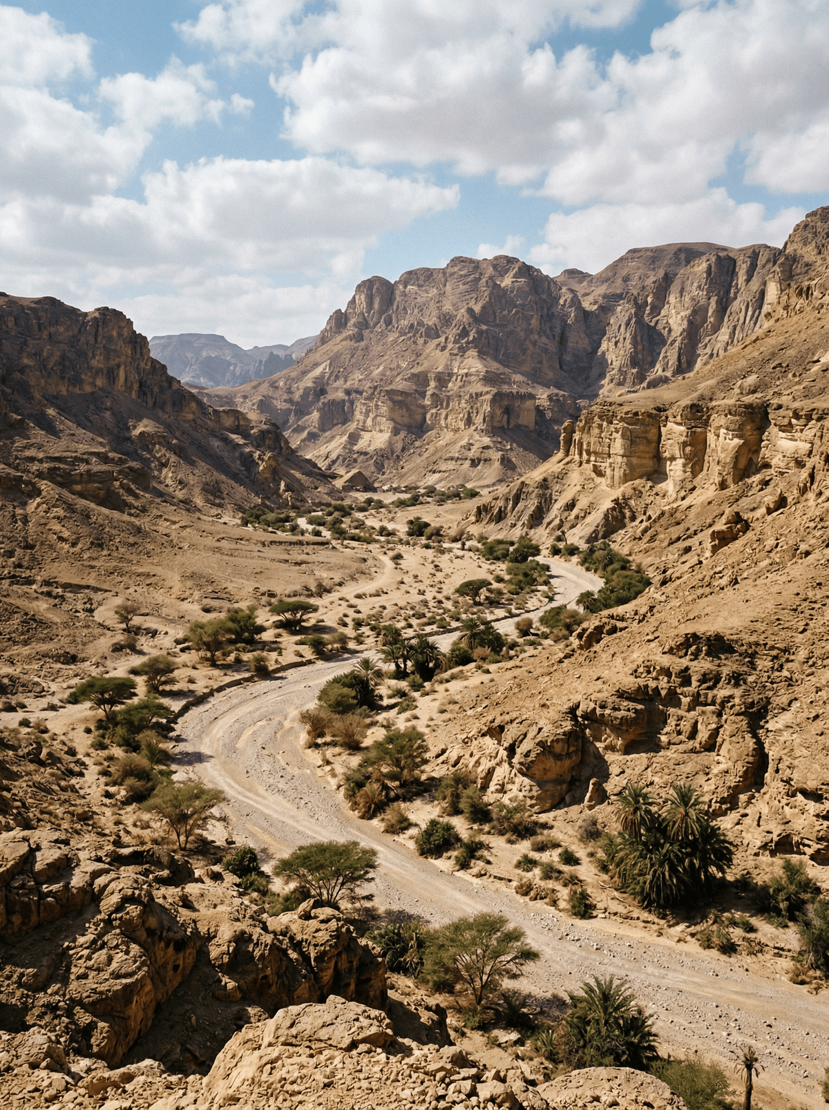
The wadi cuts through red desert mountains and spills into the sea through mangrove channels where green herons stalk the shallows. On the beach beyond, Ababda camels wander the tideline, and the reef begins so close you can hear parrotfish crunching coral from your towel.
Wadi al-Gemal National Park covers more than 7,000 square kilometres of coast and desert hinterland, one of Egypt's largest protected areas. Its waters hold pristine reefs, seagrass beds, mangrove lagoons and uninhabited islands. The great seasonal wadi that names the park channels rare desert rain toward the sea. Through it move the Ababda, semi-nomadic pastoralists whose desert presence predates the Arab conquest, still grazing their camels on the old seasonal rounds.
Couple
Take the 4x4 up the wadi to the petroglyphs, then swim the mangrove lagoon before the drive back down.
- The park protects Egypt's last significant Red Sea mangrove forests and 130 kilometres of undeveloped coast.
- Ababda grazing camps move through the park as they have for centuries.
- Green and hawksbill turtles nest on these beaches between April and October, watched by a small research station.
- A 4x4 up the wadi ends at an ancient incense route, Egyptian and Greek petroglyphs cut into the rock.
On guided park days the meal arrives with the 4x4 — lunch laid out where the wadi meets the sea.
Camping is unserviced: everything you eat drives in with you from Marsa Alam, and that is the point.
Wadi Shab
Oman
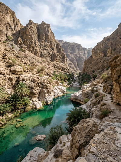
A chain of cool pools ends at a waterfall hidden inside a keyhole chamber.
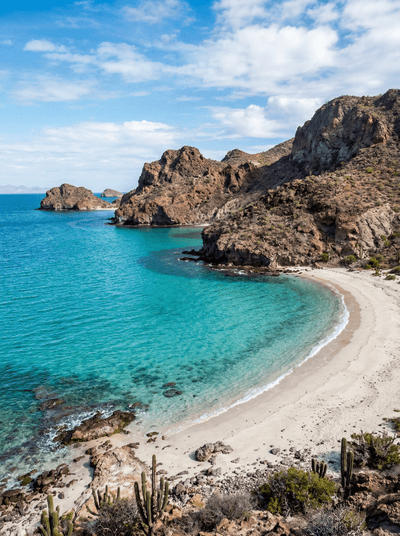
Espíritu Santo Island
Mexico
Red volcanic cliffs fold around clear coves reached by boat from La Paz.
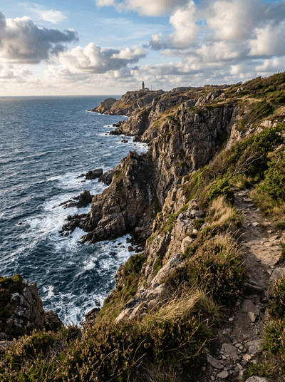
Kullaberg Nature Reserve
Sweden
Sea caves and porpoise pods along a dramatic headland where Skåne plunges into the Kattegat.
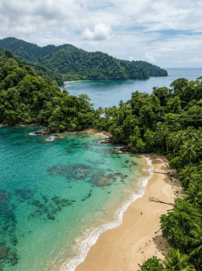
Isla Coiba
Panama
Fishing was banned to stop prisoners escaping; the reef has been thriving ever since.