
France
Île de Ré
Salt pans and whitewashed villages connected by cycle paths through hollyhock-lined lanes.
Salt pans stretch flat to the horizon, the water pink in afternoon light, and a cyclist pedals through hollyhock-lined lanes between whitewashed villages where every shutter is painted the same shade of green. Île de Ré in France is a low, quiet island connected to the mainland by a curving bridge, its rhythm set by tides, salt harvests, and the creak of bicycle chains.
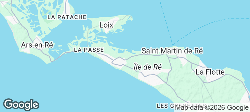
Île de Ré stretches 30 kilometres long and five kilometres wide off the coast of La Rochelle, connected to the mainland by a bridge opened in 1988. The island's salt marshes, worked by hand using methods unchanged since the 7th century, produce fleur de sel prized for its mineral complexity and floral finish. Ten villages dot the island, each built in the same whitewashed-wall-and-green-shutter vernacular that gives Ré its visual coherence. The Phare des Baleines, a 57-metre lighthouse at the western tip, was built in 1854 and offers panoramic views of the island and open Atlantic. Over 100 kilometres of cycle paths connect the villages, markets, and beaches, making the car largely unnecessary. The northern oyster beds produce Fines de Claires matured in the island's clay-bottomed ponds.
Couple
Cycle between villages, stop at a salt pan to watch the fleur de sel being raked, eat oysters at a waterside shack. The island's rhythm — slow, tidal, sunlit — is designed for two people with nowhere to be.
Family
Flat cycle paths, shallow beaches, lighthouses to climb, and salt pans to explore. The island is safe, car-free-friendly, and endlessly interesting to children who like poking around in rockpools and riding bikes.
- Salt pans worked by hand stretch across the southern flats — fleur de sel harvested here has a floral note found nowhere else.
- Cycle paths connect whitewashed villages through hollyhock-lined lanes — the island is flat, car-free-friendly, and small.
- Oyster shacks on the northern coast serve plateaux with Pineau des Charentes while the tide creeps across the flats.
- The Phare des Baleines lighthouse at the western tip gives 360-degree views of the island and open Atlantic.
Fleur de sel harvested by hand from the island's own salt marshes — mineral, floral, irreplaceable.
Oysters and Pineau des Charentes at a shack overlooking the tidal flats.

San Juan Islands
United States
Orcas breaching in channels between forested islands where eagles nest above every cove.

Boca Brava
Panama
A mangrove island in the Pacific where humpback whales breach within swimming distance of shore.

Uvita & Marino Ballena
Costa Rica
A sandbar shaped like a whale's tail emerges at low tide while humpbacks breach offshore.

Delta do Parnaíba
Brazil
Scarlet ibis clouds erupting from mangroves in a river delta opening straight into the Atlantic.

Plateau de Valensole
France
Lavender fields stretching to the horizon in purple rows that hum with bees.

Camargue
France
White horses galloping through salt marshes where flamingos turn the shallow lagoons pink.

Château de Chambord
France
A double-helix staircase spiralling inside a hunting lodge built for a king who barely visited.

Colmar
France
Candy-coloured façades reflected in canals so still they look like someone poured paint on glass.