Chile
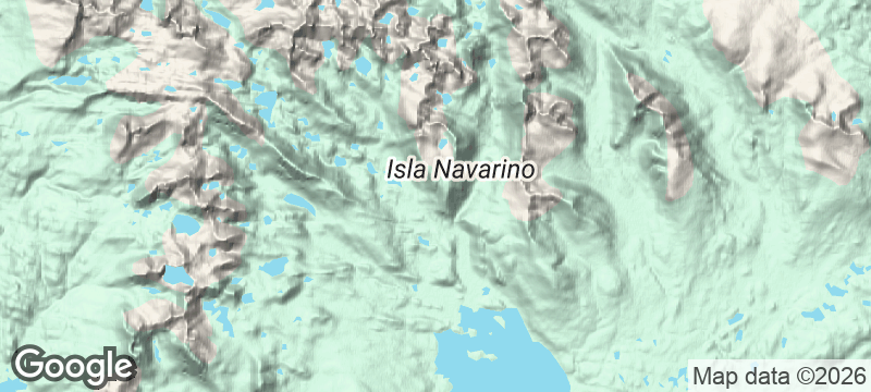
Isla Navarino
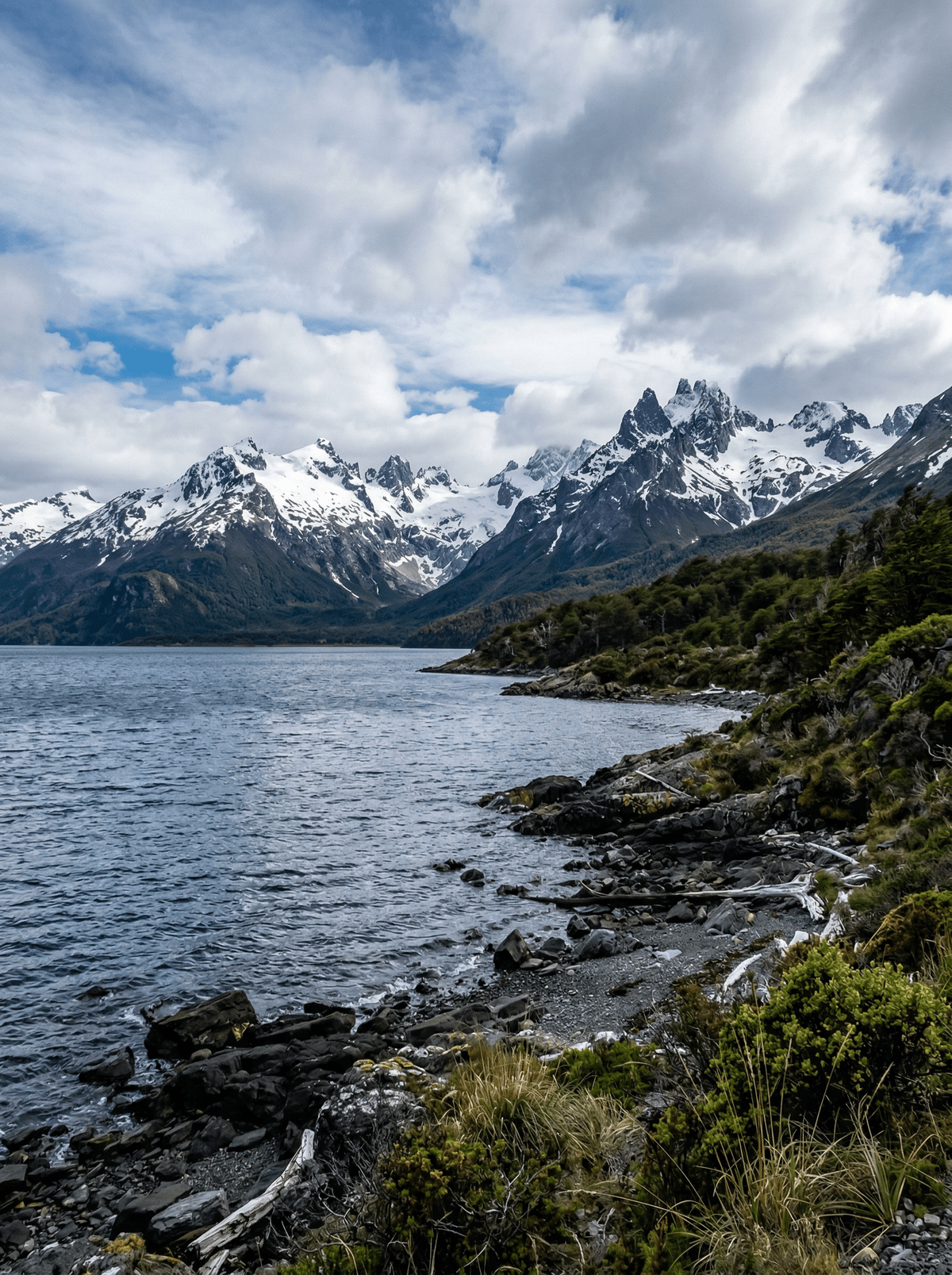
Jagged teeth, peatland and Beagle Channel light shape Chile's southern trekking island.
Low cloud drags across the Dientes while boardwalks give way to wet ground. Below the passes, the Beagle Channel flashes between dark ridges.
Puerto Williams opens both the remote Dientes circuit and shorter coastal or mountain walks. The full traverse demands registration, navigation and several days of weather judgement, while easier routes still reveal the island's southern character. The place works without a superlative attached to the trek.
Solo
Puerto Williams offers shorter registered walks when a remote solo circuit would exceed navigation experience.
Friends
A skilled party can split navigation and camp duties across the Dientes traverse while retaining a weather day.
- Puerto Williams is the gateway for the Dientes de Navarino circuit and several shorter Beagle Channel walks.
- The full circuit is a remote multi-day undertaking that requires registration, navigation skills and flexible weather planning.
- Peaks, peatlands and coastal views make the island a destination even for visitors not attempting the whole traverse.
Puerto Williams' civilians work the Beagle Channel's fisheries — centolla first among them.
Its fishermen supplied the crab for the world's southernmost chupe de centolla — the dish to seek this far south.
Arenal & La Fortuna
Costa Rica
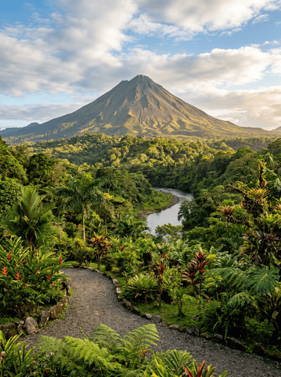
Hot springs steaming through jungle beneath a volcano's perfect cone at dusk.
Drakensberg
South Africa
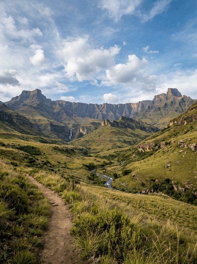
Basalt walls rise above sandstone caves painted across thousands of years.
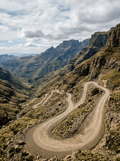
Sani Pass
South Africa
A switchback road climbs from green foothills to a high border above the clouds.
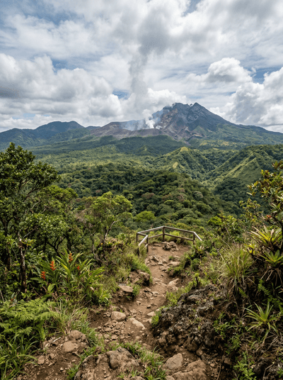
Rincón de la Vieja
Costa Rica
Volcanic mud pots belch and bubble through dry tropical forest like the earth digesting itself.
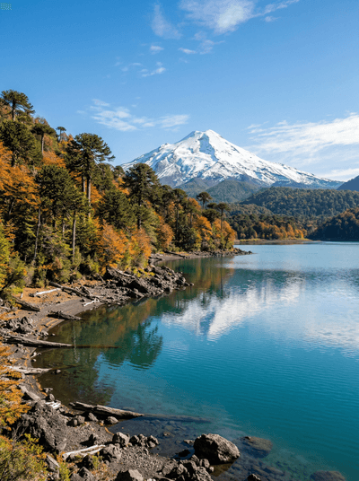
Parque Nacional Conguillío
Chile
Araucaria crowns stand over black lava and clear lakes beneath Volcán Llaima.
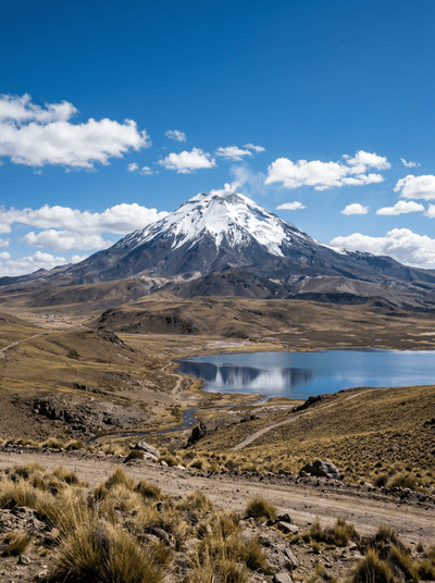
Parque Nacional Volcán Isluga
Chile
Volcanic horizons and high wetlands surround living Aymara settlements in the altiplano.
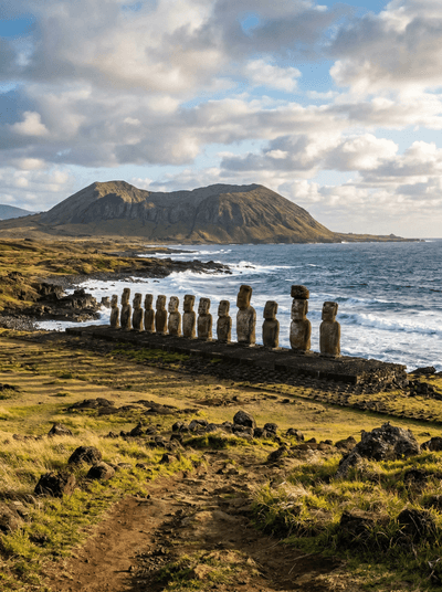
Rapa Nui (Easter Island)
Chile
Moai, grassed craters and a living Polynesian culture meet in the open Pacific.
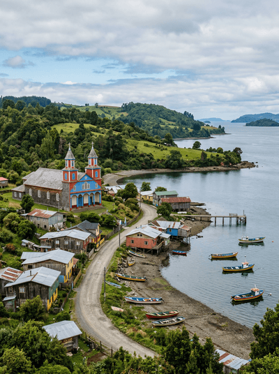
Isla Chiloé (Tenaún)
Chile
Three timber towers rise above a quiet Chilote waterfront.