Morocco
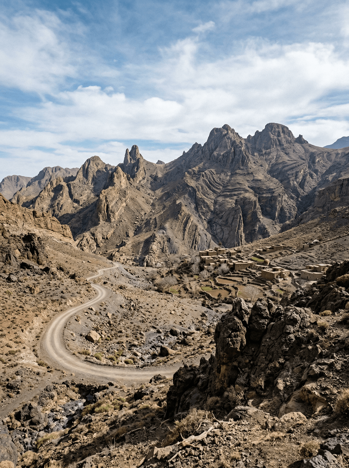
Jebel Saghro
Black volcanic towers break a winter desert where mule trails vanish between water sources.
Jebel Saghro breaks into dark volcanic plugs, table-like plateaux and dry gorges between the High Atlas and Sahara. At Bab n'Ali, paired rock towers stand above a stripped-back valley; elsewhere the scale comes from long ridgelines, sharp light and the distance between water sources.
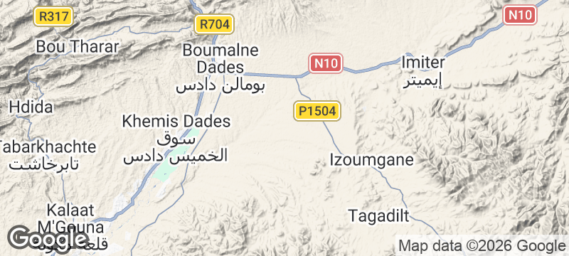
Crossings run between trailheads near Tagedilt or N'Kob and the northern side towards Kelaat M'Gouna, through volcanic plugs, table-like plateaux and dry gorges. The massif is Aït Atta heartland and part of changing transhumant routes, but pastoral families are not a visitor performance. Near Bougafer, the landscape carries the history of Aït Atta resistance to French colonial forces in 1933. Sparse waymarking and long gaps between water make this a professionally supported remote crossing, especially through the cold nights of its October-to-April walking season.
Solo
Choose a crossing matched to your trekking history and let Bab n'Ali, Bougafer and the long volcanic ridges set the sequence. A small moving camp provides company while the walking still leaves long stretches of quiet.
Friends
Treat Bab n'Ali and Bougafer as shared focal points rather than chasing daily distance. Camp tagine closes the effort around one table while the black ridges hold the last light.
- Bab n'Ali's rock towers, eroded plateaux and dry canyons make the crossing visually distinct from the limestone High Atlas.
- Long crossings link Bab n'Ali's rock towers with dry canyons, high plateaux and the northern valleys.
- Aït Atta transhumance remains part of the living land use, though movements change with weather and household needs.
- Bougafer adds a specific history of 1933 anti-colonial resistance to terrain that might otherwise be read only as scenery.
A slow-cooked camp tagine prepared by the trek cook after the day's crossing, served communally with bread.
Hot tea with bread, cheese and eggs at first light, the supported-trek breakfast before packing the mule train.
Daisetsuzan
Japan
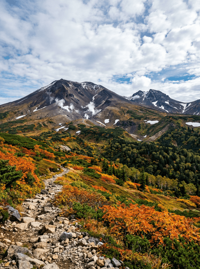
Japan's first autumn colour igniting an alpine plateau where brown bears roam unchallenged.
Mount Ararat
Turkey
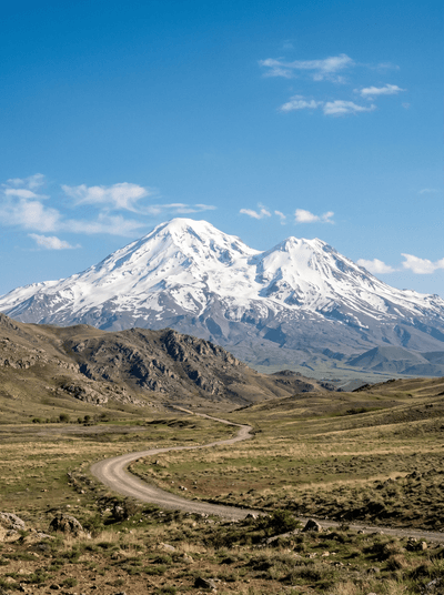
Turkey's highest peak rises alone from the plain, perpetually snow-capped and steeped in flood mythology.
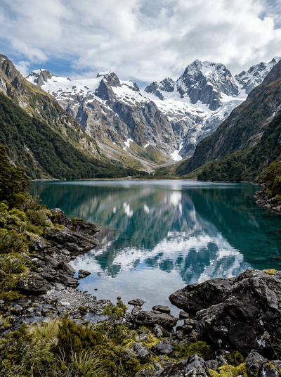
Lake Marian
New Zealand
An alpine lake cradled in a granite amphitheatre, earned by roots, mud and climb.
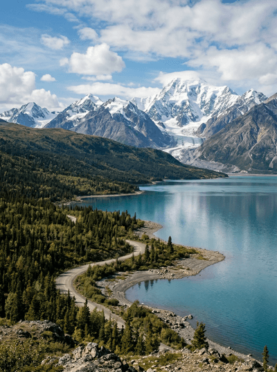
Kluane National Park
Canada
The world's largest non-polar icefields hide behind front ranges that only flights reveal.
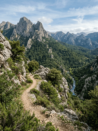
Talassemtane National Park
Morocco
Endangered fir darkens the Rif until pale limestone cliffs break through the canopy.
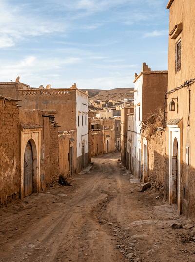
Tan-Tan
Morocco
Tbourida thunders past white tents as Hassaniya poetry gathers more than thirty desert tribes.
Imsouane
Morocco
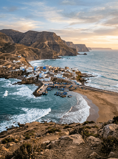
A mellow right peels beside blue fishing boats while Cathedral gathers the heavier swell.
Dakhla
Morocco
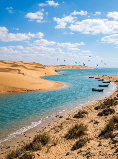
Kites lift over a 37-kilometre lagoon where dune ridges hold back the Atlantic.