
Iceland
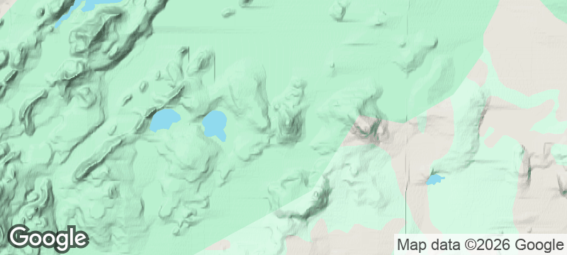
Laki Craters
A 25-kilometre line of moss-choked craters from an eruption that changed world history.
One hundred and thirty craters in a line, each one choked in moss so thick and green it looks like upholstery. The Laki Craters in Iceland's south highlands are the remnants of an 18th-century eruption so catastrophic it changed weather patterns across the Northern Hemisphere — and today they sit in silence, slowly being swallowed by the land they once destroyed.
The Laki eruption of 1783–1784 was one of the most devastating volcanic events in recorded history. Over eight months, a 25-kilometre fissure produced an estimated 14 cubic kilometres of basaltic lava — one of the largest lava flows of the past millennium — and released toxic gases that killed roughly a quarter of Iceland's population through famine and fluorine poisoning of livestock. The sulphur dioxide cloud drifted across Europe, causing crop failures and contributing to the exceptionally harsh winter of 1783–84, which some historians link to social unrest preceding the French Revolution. Today the 130 craters are cloaked in Icelandic moss, creating a surreal landscape of bright green mounds stretching to the horizon. Access requires a 4x4 on highland F-roads open only in July and August. From the summit of the central crater, views extend across the moss-covered lava field to Vatnajökull glacier.
Solo
Walking alone across 130 moss-choked craters from an eruption that changed world history — Laki confronts you with geological scale and human fragility in equal measure.
Friends
The 4x4 highland approach, the history lesson written in craters, and the vast moss-green landscape make Laki a group expedition with genuine substance.
- The 1783 Laki eruption produced one of history's largest lava flows, covering 600 square kilometres.
- The eruption caused a famine that killed 25% of Iceland's population and affected weather across Europe.
- A row of 130 craters stretches 25 kilometres, now cloaked in thick green moss.
- Accessible only by 4x4 highland track during July-August, preserving its wilderness atmosphere.
Dried fish dipped in dulse seaweed butter, the classic highland hiker's snack.
Dense rye bread, heavy and sweet, perfect for the long 4x4 journey inland.

Gaua
Vanuatu
A volcanic lake drains into the ocean via a waterfall that plunges through untouched jungle.

Quebrada de Humahuaca
Argentina
A canyon of fourteen-colour hills where Inca trails thread through villages older than the conquest.

Vale do Paúl
Cape Verde
Sugarcane terraces spill down a volcanic crater into the greenest valley in the archipelago.

Achik-Tash
Kyrgyzstan
Yurt camps at 3,600 metres beneath a 7,134-metre peak, alpinists and trekkers sharing vodka at sunset.

Seyðisfjörður
Iceland
A rainbow-paved path leading to a pale blue church beneath snow-streaked fjord walls.

Húsavík
Iceland
Wooden sailing ships chasing the exhales of blue whales in a sapphire northern bay.

Stuðlagil Canyon
Iceland
A turquoise glacial river surging through geometric towers of perfectly hexagonal basalt.

Heimaey
Iceland
An island where houses remain half-buried in volcanic ash beside millions of nesting puffins.