
Solomon Islands
Mount Popomanaseu
Cloud forest wraps the Solomons' highest summit, days of machete-cut trail above a roadless coast.
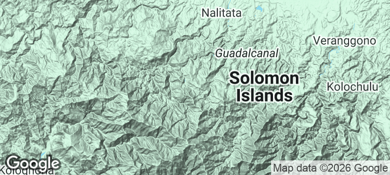
Mist clings to moss-bearded trees as the trail narrows to a machete-width scar through cloud forest. Mount Popomanaseu rises to 2,335 metres above Guadalcanal's southern coast — the highest point in the Solomon Islands, reached only after days of cutting through vegetation that closes behind you. The air thins and cools in a country where most people have never felt temperatures below 20 degrees.
Mount Popomanaseu is the highest peak in Melanesia outside New Guinea, yet it receives fewer than a handful of trekking parties each year. The approach begins at a roadless coastal village accessible only by boat, where local guides — engaged through the village committee — lead the multi-day ascent through secondary forest, river crossings, and primary cloud forest thick with orchids and tree ferns. Night temperatures at the high camp drop to 10–15°C, requiring sleeping bags in a country where no one owns a jumper. No published trail map accurately captures the route; navigation depends entirely on guides whose knowledge is passed down within families. The summit rewards with views across Guadalcanal's spine to both coasts — a perspective of the island that few living people have seen.
Solo
The ultimate test of self-reliance in the South Pacific. You'll be entirely dependent on village hospitality, sleeping in basic guesthouses and ridge-top camps with nothing but the sounds of forest birds and wind for company.
Friends
A shared expedition that bonds through genuine challenge — days of jungle trekking, river fording, and ridge camping with a small group and local guides. The kind of trip that becomes the story everyone retells for years.
- At 2,335 metres, Popomanaseu is the highest peak in the Solomon Islands and the highest peak in Melanesia outside New Guinea — a summit that most Melanesian mountaineers have never attempted.
- The trail begins at a coastal village with no road access; the first day crosses rivers and secondary forest, while the second and third days push into primary cloud forest thick with orchids and tree ferns.
- Night temperatures at high camp drop to 10–15°C — cold enough to require a sleeping bag in a country where most people have never experienced temperatures below 20 degrees.
- Local guides from coastal villages are essential and are engaged directly through the village committee; the trek involves sleeping in village guesthouses and being entirely dependent on local knowledge of routes that no map accurately shows.
Trail provisions of smoked fish, taro, and roasted ngali nuts carried in woven bilum bags.
River crayfish and mountain fern tips cooked over open fire at a ridge-top camp.

Barra Honda National Park
Costa Rica
Rappel into limestone caverns beneath Guanacaste's driest forest — stalactites gleam in headlamp light below.

Assynt
Scotland
Solitary mountains erupt from a moonscape of lochs and bog like stone cathedrals without congregations.

Isole Eolie — Vulcano
Italy
Sulphur vents hiss beside a crater lake where volcanic mud cakes your skin gold.

Canyon Guartelá
Brazil
Ancient Devonian rock carved into a canyon deep enough to swallow clouds above the Iapó River.

Vangunu Island
Solomon Islands
Locals described a giant tree-dwelling rat for decades before scientists believed them and found it.

Ghizo Island
Solomon Islands
Children paddle canoes over the Toa Maru wreck while reef sharks circle the hull below.

Iron Bottom Sound
Solomon Islands
Divers descend into a strait where fifty warships sank in six months of night battle.

Tulagi
Solomon Islands
Japanese float planes still rest in the harbour shallows of a bombarded colonial capital.