Australia
Queenstown
A century of smelting skinned Queenstown's hills; rainforest now creeps back at the edges.
Orange, grey and pink mineral bands show through the sparsely vegetated hills around Queenstown. Logging, mining and smelter pollution caused extraordinary damage, while visible regrowth prevents the landscape being frozen as a permanent moonscape.
Queenstown grew around copper mining on Tasmania's west coast. Fuel cutting, fire and sulphur pollution from historic smelting stripped much of the surrounding vegetation and accelerated erosion, exposing colourful mineral slopes. The Iron Blow lookout and West Coast Wilderness Railway interpret mining and transport history, while rainforest close to town and gradual regrowth show both the original ecosystem and its incomplete recovery.
Solo
Ride the heritage railway, read the mining landscape and use formed viewpoints rather than entering industrial ground.
Couple
Pair the railway with late light on the bare hills, then look for rainforest returning at their edges.
- Sparsely vegetated mineral slopes preserve visible evidence of historic smelting and erosion.
- Orange, grey and pink bands make environmental damage physically legible around the town.
- The Iron Blow lookout reveals an early mining site from a managed viewpoint.
- The heritage railway links mining history to rainforest and the former ore route towards Strahan.
Tracks Cafe; warming meals in a heritage building on Orr Street, the town's surprisingly lively main drag.
The Empire Hotel pours cold beer beneath a mining-boom staircase of local blackwood, carved in England and shipped home in 1904.
Maria Island
Australia
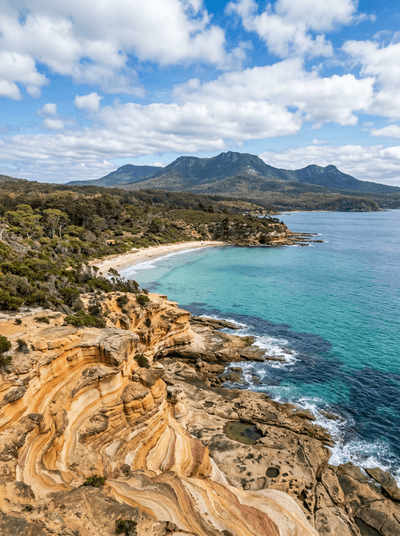
Wombats graze between convict buildings on a car-free island edged by painted cliffs.
Wilpena Pound
Australia
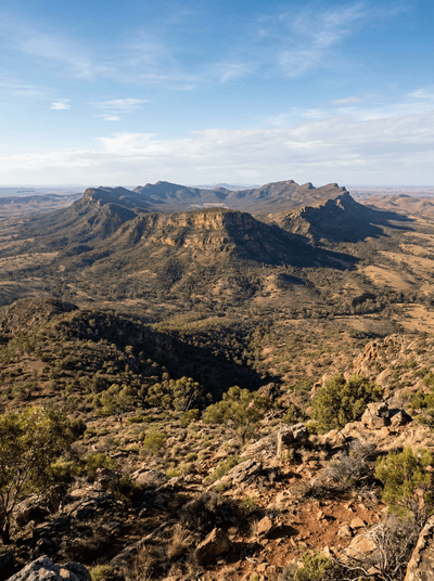
Quartzite ridges fold around Ikara's immense interior valley in the Flinders Ranges.
Carnarvon Gorge
Australia
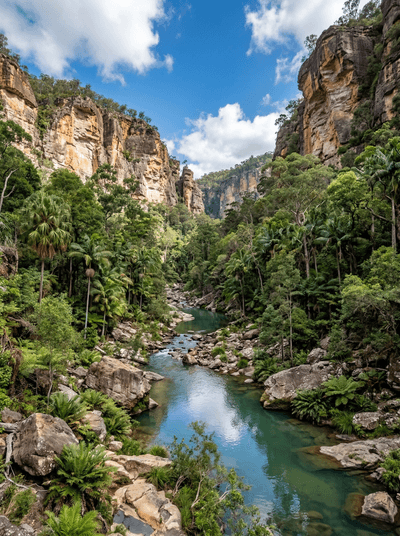
Ochre stencils crowd sandstone walls deep beyond a gorge of palms and creek crossings.
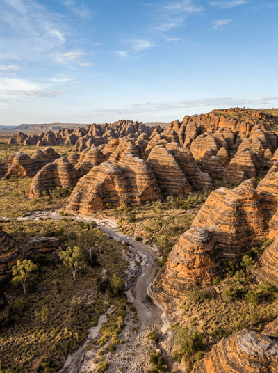
Purnululu (Bungle Bungles)
Australia
Living black crust stripes orange sandstone domes across a Kimberley range.