
Solomon Islands
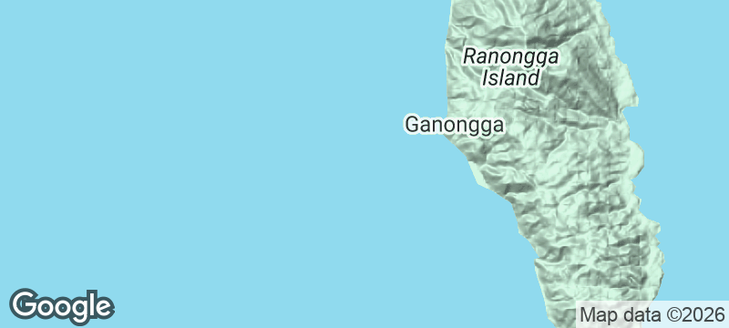
Ranongga Island
An earthquake heaved this island three metres — the old reef now bakes in the sun.
The old reef stands exposed in the sun — coral heads bleached white, tidal pools stranded a full storey above the current waterline. Where lagoon fish once swam, gardens now grow in soil that settled between the uplifted limestone. The whole island looks like it has been shrugged upward by something vast and indifferent beneath the surface.
Ranongga Island in the Solomon Islands' Western Province was permanently reshaped by the magnitude 8.1 earthquake that struck the western Solomons on 2 April 2007. The island's western coast rose by up to three metres in a single event, draining the fringing lagoon and exposing reef systems that had been submerged for millennia. The geological evidence is immediate and visible: bleached coral shelves now serve as village platforms, former seabed has been planted with root crops, and the old shoreline is visibly marked by a band of dead marine organisms above the current tide line. Communities adapted rapidly, relocating fishing grounds and planting where ocean floor once lay. The island's isolation — no regular ferry service, reachable by chartered boat from Gizo — means the tectonic evidence remains largely undisturbed and unsanitised.
Solo
Ranongga offers a geological story written in coral and soil that you can read by walking the coastline. Solo travellers willing to arrange boat transport from Gizo find an island where the evidence of seismic power is raw, recent, and everywhere underfoot.
Couple
Walking Ranongga's uplifted reef together — touching coral that was underwater just two decades ago, seeing gardens planted on former seabed — creates the kind of shared awe that comes from standing inside a geological event rather than reading about one.
Friends
A group can explore different sections of Ranongga's reshaped coastline in a single trip, comparing the uplift at different points and talking to villagers who watched their reef rise in real time. The boat charter from Gizo is easier to justify with shared costs.
- In the April 2007 earthquake (magnitude 8.1), Ranongga's western coastline rose by up to three metres — one of the largest tectonic uplifts recorded on an inhabited island in modern times.
- The exposed ancient reef flat now stretches hundreds of metres from what was previously the shoreline; coral formations that grew on the seafloor for decades stand in open air, bleaching white in the sun.
- Villages on the uplifted western coast rebuilt their jetties and fish traps to account for the new shoreline — the geology lesson and the community adaptation are visible from the same viewpoint.
- The eastern coast of Ranongga was unaffected by the uplift and still holds one of the deepest lagoons in the Western Province — an unmarked dive site with exceptional visibility and no other boats.
Reef fish grilled on an uplifted coral shelf that was underwater before the 2007 earthquake.
Sweet potato and cassava from gardens planted where the lagoon floor used to be.

Hideaway Island
Vanuatu
Post a waterproof postcard from the world's only underwater post office, then snorkel its coral reef.

Ureparapara
Vanuatu
Sail into the flooded crater of a horseshoe-shaped volcanic island where fewer than 500 people remain.

Isla Magdalena
Chile
Magellanic penguins in their tens of thousands, nesting so close you walk through their colony.

Buracona
Cape Verde
At midday, sunlight plunges through volcanic rock and ignites an underwater cave into electric blue.

Anuta
Solomon Islands
Three hundred people share a coral speck half a mile across in the open Pacific.

Roviana Lagoon
Solomon Islands
Head-hunting shrines and coral petroglyphs line a lagoon that launched war canoe raids for centuries.

Nendo
Solomon Islands
Red feather money still circulates on an island where Melanesian and Polynesian bloodlines converge.

Reef Islands
Solomon Islands
Coral islets scattered like gravel across open ocean, reached by canoe navigators reading the stars.