Mexico
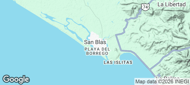
San Blas
A historic Pacific port opens onto mangrove channels and long sandy breaks.
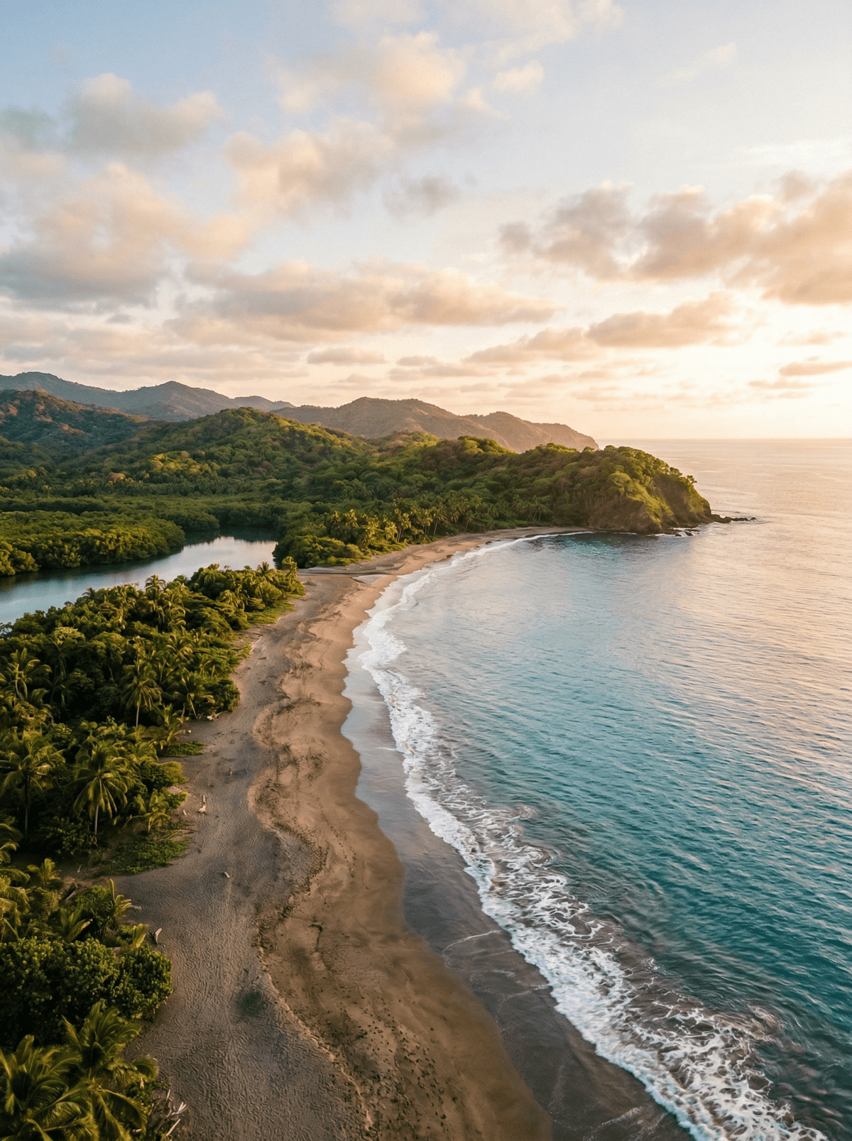
The fort on the hill remembers when San Blas armed the Pacific trade. The town below has settled into softer work: mangrove boats, long beaches, and smoke rising off the fish grills.
San Blas pairs a historic Pacific port and hilltop fort with boat routes through the La Tovara wetlands, all in the corner of Nayarit that gave Mexico pescado zarandeado. Matanchén Bay peels long waves under the right swell, with ride length always a gift of conditions. Seafood, birding and the harbour fill the days between.
Friends
Surf Matanchén when the swell lines up and eat zarandeado where it was born.
Solo
Take the La Tovara boat at first light for the wetland's best hour.
- San Blas combines a historic Pacific port, the hilltop fort and boat routes through La Tovara wetlands.
- Matanchén Bay has long peeling waves under suitable swell, with ride length set by conditions.
- Seafood, birding and the harbour provide a full visit beyond any surfing record claim.
Pescado zarandeado was born on this Nayarit coast: butterflied fish grilled between metal grates over coals.
Pan de plátano is the town's other signature: dark dense loaves sold from street baskets and the Juan Bananas bakery.
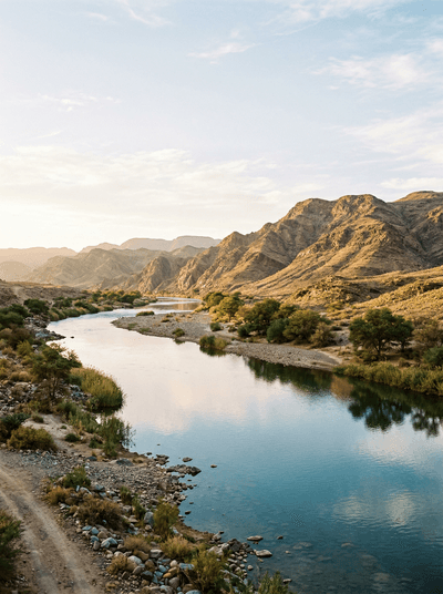
Orange River (Vioolsdrif)
South Africa
A green river corridor carries rafts between bare Richtersveld mountains.
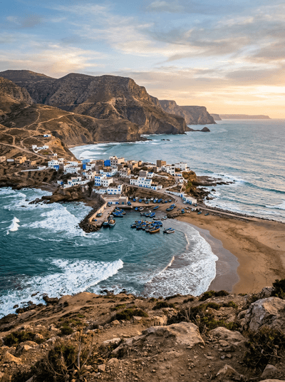
Imsouane
Morocco
A mellow right peels beside blue fishing boats while Cathedral gathers the heavier swell.
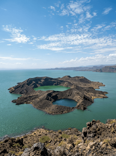
Central Island
Kenya
Three volcanic crater lakes in three different colours on an island ruled by Nile crocodiles.
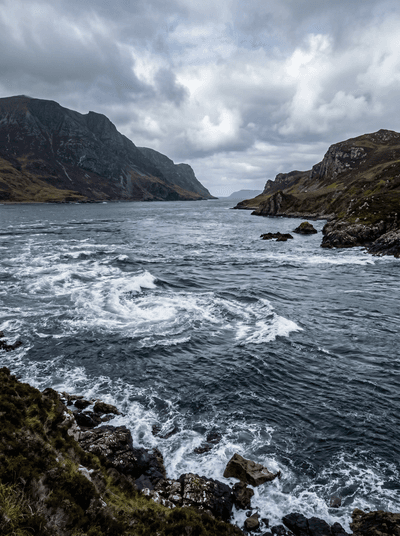
Corryvreckan
Scotland
One of Earth's largest whirlpools churns between two islands, its roar carrying across open sea.
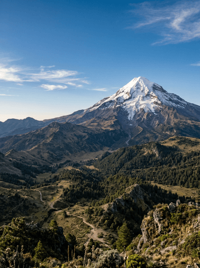
Pico de Orizaba
Mexico
Mexico's highest mountain rises from forest routes to a serious high-altitude summit.
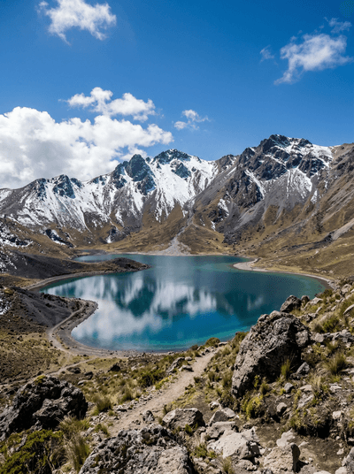
Nevado de Toluca
Mexico
Cold crater paths circle two high lakes beneath Mexico's shifting mountain weather.
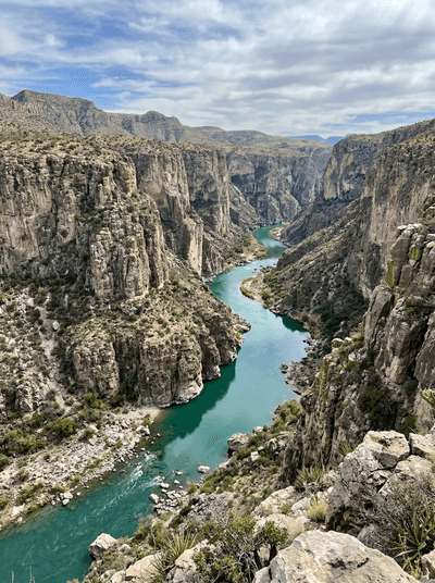
Cañón del Pegüis
Mexico
The Río Conchos cuts striped desert rock into a remote Chihuahua gorge.
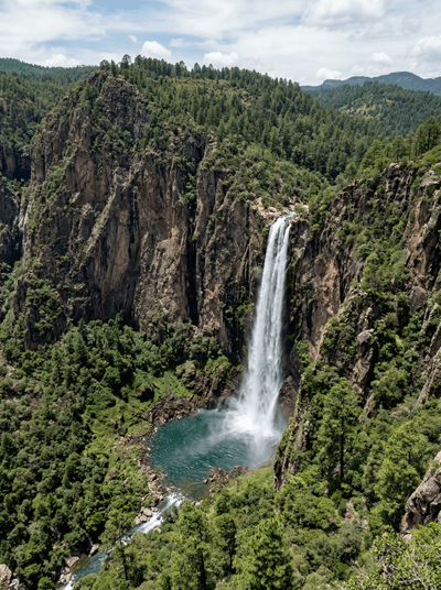
Basaseachi Falls
Mexico
Seasonal water plunges into a pine-lined canyon in Chihuahua's Sierra Madre.