
Chile
Volcán Sollipulli
An ice-filled volcanic caldera hidden in Mapuche territory, its frozen crater lake reflecting only sky.
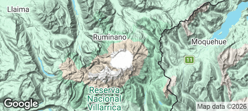
The treeline falls away and the caldera opens — four kilometres of ice filling the bowl of an active volcano, the glacier surface reflecting nothing but sky. Volcán Sollipulli hides in Mapuche territory in Chile's Araucanía Region, its summit reached through ancient araucaria forest on trails so faint they disappear entirely above the snowline. Fewer than 200 people stand here in any given year. The silence at the rim is total.
Volcán Sollipulli is an active volcano whose caldera holds a glacier — ice formed in the summit depression after the last major eruption cooled the crater, creating a geological paradox of fire and frozen water in the same structure. The caldera is roughly 4 kilometres in diameter and takes three hours to circuit on its rim, with the ice below the crater walls staying blue throughout the year. The ascent passes through Mapuche-held land, requiring a community permit whose proceeds go directly to the village that has managed this territory for centuries. The route above the treeline is entirely unmarked, making this one of Chile's least-climbed significant volcanoes. Araucaria forests on the lower slopes are managed by Pewenche communities who have harvested piñones (pine nuts) using traditional methods for millennia.
Solo
An unmarked route to a glacier inside a volcano, with a community permit as your only infrastructure. Solo mountaineers seeking genuine solitude and a summit that almost nobody reaches will find Sollipulli delivers both.
Friends
The caldera rim circuit is a full-day objective that rewards a strong group — route-finding through araucaria forest, an unmarked ascent, and a summit reveal that redefines what a volcanic crater can look like.
- The caldera holds a glacier despite being an active volcano — ice formed in the summit depression after the last major eruption cooled the crater.
- The ascent passes through Mapuche-held land — a community permit is required and the proceeds go directly to the village that has managed this territory for centuries.
- The summit caldera is roughly 4km in diameter and takes 3 hours to circuit on its rim — the ice below the crater walls stays blue all year.
- Fewer than 200 people summit per year, making this one of Chile's least-climbed significant volcanoes — the route above the treeline is entirely unmarked.
Mapuche ruca dining at Curarrehue — catuto wheat dumplings, mudai drink, and smoked trout.
Piñones (monkey puzzle pine nuts) roasted over campfire — the ancestral Pewenche staple.
Merkén everything — the smoked Mapuche chilli that transforms simple trail food.

Gaua
Vanuatu
A volcanic lake drains into the ocean via a waterfall that plunges through untouched jungle.

Quebrada de Humahuaca
Argentina
A canyon of fourteen-colour hills where Inca trails thread through villages older than the conquest.

Vale do Paúl
Cape Verde
Sugarcane terraces spill down a volcanic crater into the greenest valley in the archipelago.

Achik-Tash
Kyrgyzstan
Yurt camps at 3,600 metres beneath a 7,134-metre peak, alpinists and trekkers sharing vodka at sunset.

Isla Magdalena
Chile
Magellanic penguins in their tens of thousands, nesting so close you walk through their colony.

Valparaíso
Chile
Forty-two hills of riotous street art where funiculars creak between graffiti-walled stairways.

San Pedro de Atacama
Chile
Adobe village where you stargaze through the driest, clearest sky on Earth.

Torres del Paine
Chile
Granite towers erupt from Patagonian steppe, condors riding thermals above ice-blue lakes.