Egypt
Ain Umm al-Dabadib
Roman aqueducts tunnelling beneath deep desert to water farmland the Sahara has since taken back.
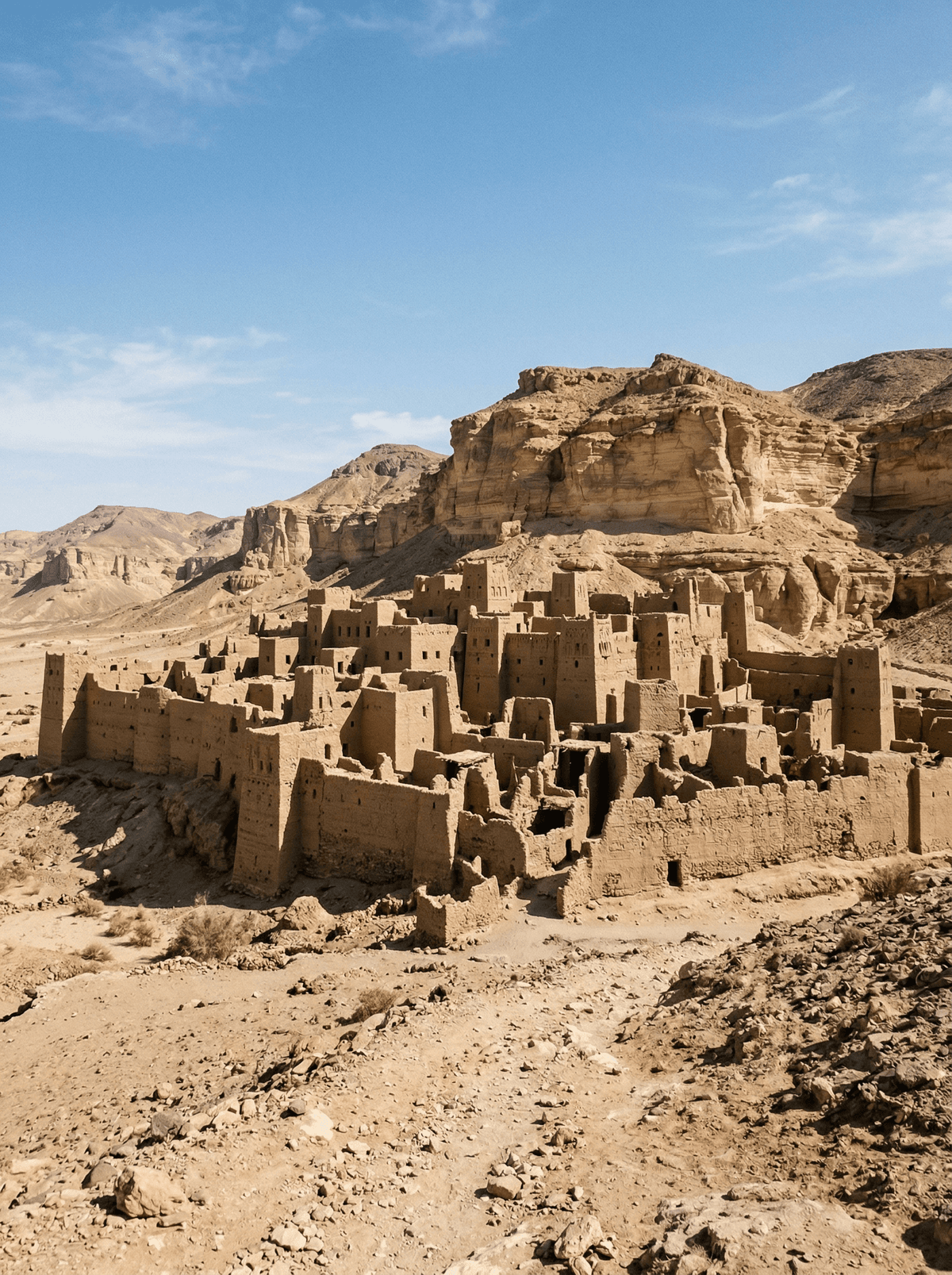
The desert floor drops into darkness where Roman-era tunnels plunge beneath the sand — hand-carved aqueducts running for kilometres under a landscape that looks incapable of holding life. Wind scours the mud-brick walls of the fortified settlement above. No roads lead here, no signs mark the way.
Ain Umm al-Dabadib is a Roman-period settlement in the far western Kharga Depression, dating to around the fourth century CE. Its underground qanat system tunnels for kilometres through bedrock to tap deep aquifers that once irrigated real farmland, and the fortress at the settlement's southern end still stands in mudbrick walls enclosing roughly a hundred metres square. Italian archaeologist Corinna Rossi mapped the site in detail, and the desert has kept the rest.
Friends
Mount the expedition together — 4x4, guide and permit from Kharga — and walk a Roman water system nobody else will see this month.
- The qanat runs five kilometres under the desert floor, its vertical access shafts dotting the surface like a string of manholes.
- The fortress walls still enclose a hundred-metre square — a self-sufficient outpost in extreme desert.
- Granary, bathhouse and animal stalls survive in outline: the full footprint of a garrison that fed itself.
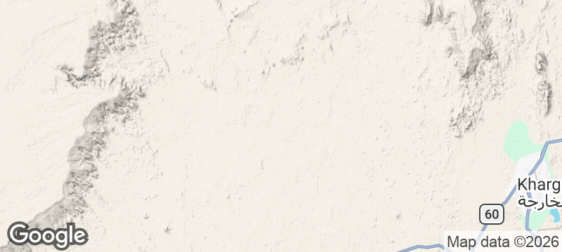
- Reaching it takes a 4x4, an expert guide and permission from the Antiquities Office in el-Kharga — emptiness is the entry fee.
Everything edible comes with you from Kharga — out here there is nothing but ruins and wind.
The hot meal is the return to town: grilled chicken, rice and salad with the day's sand shaken off.


Mons Porphyrites
Egypt
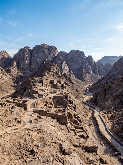
The Roman Empire's only source of imperial purple stone, quarries still scarring red mountains.
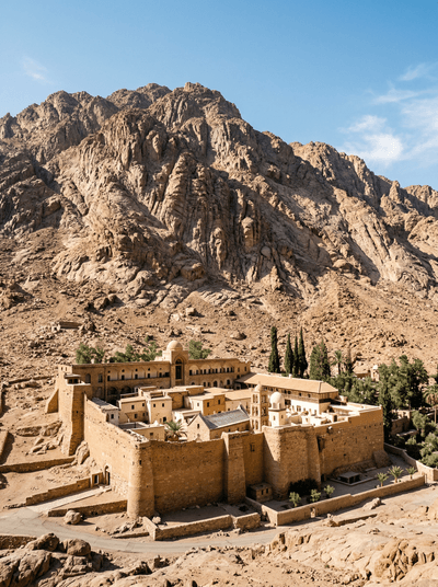
St. Catherine
Egypt
Granite peaks where Moses may have stood, a burning bush still growing behind monastery walls.
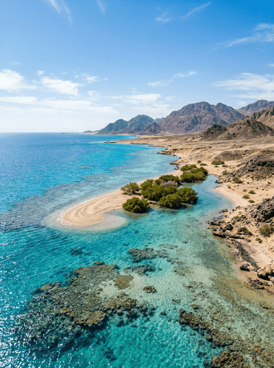
Hamata
Egypt
Spinner dolphins corkscrewing around the dawn boats, the southernmost Red Sea reefs untouched below.
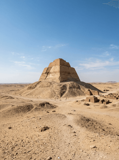
Meidum
Egypt
A pyramid that peeled apart, exposing its stone skeleton like an anatomical diagram of pharaonic ambition.