South Korea
Baengnyeongdo
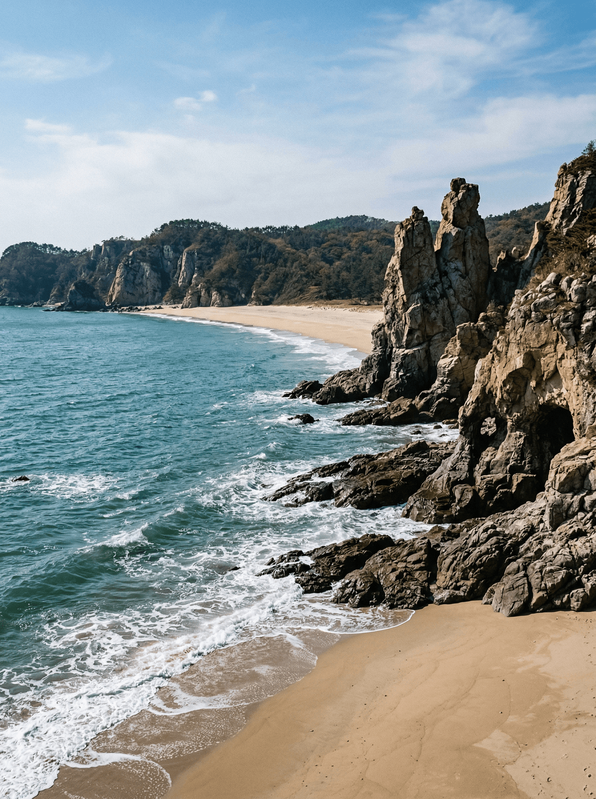
White quartzite cliffs stand twelve kilometres from North Korea's coast.
Twelve kilometres from the North Korean coast, Dumujin's quartzite rises white and sharp from the sea, and behind the cliffs the radar keeps its own watch. Geology and geopolitics share this island evenly.
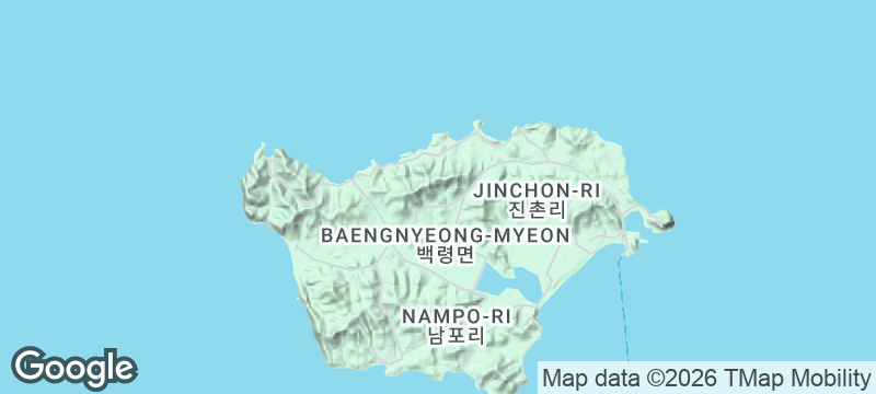
Baengnyeongdo is South Korea's westernmost major island, a scheduled ferry from Incheon delivering visitors to a sensitive maritime frontier where Dumujin's sculpted fifty-metre cliffs draw the eye and military presence stays visible. Sagot beach's naturally firm sand once served as a wartime runway, the settlement's history runs through the island's formal local circuit, and both security procedure and sea state get confirmed before and during any visit. Few places put natural drama and national fault line so plainly side by side.
Solo
Detailed advance arrangements suit independent travellers who accept that security and sea state outrank spontaneity.
Friends
Friends can share the formal island circuit and help absorb the frontier history without sensationalising it.
- Dumujin's sculpted quartzite cliffs rise fifty metres from the sea.
- The North Korean coast lies twelve kilometres away.
- Sagot beach's firm sand once served as a wartime runway.
- The ferry from Incheon is the way in.
Try Baengnyeongdo-style mul-naengmyeon, a buckwheat-rich Hwanghae noodle bowl seasoned with the island's sand-lance sauce.
Sagot Naengmyeon's listing is useful but old enough that its hours should be confirmed; harbour seafood is the flexible alternative.
Weather Coast
Solomon Islands
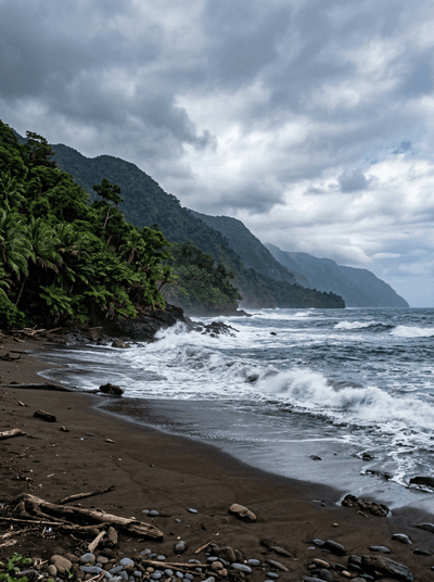
Guadalcanal's southern shore has no road, and the sea decides when you travel it.
Islas Murciélago
Costa Rica
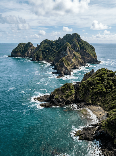
Descend into dark Pacific water where bull sharks circle — their territory, your privilege.
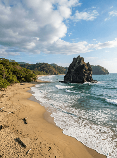
Witch's Rock (Playa Naranjo)
Costa Rica
A volcanic rock rising from Pacific surf at a break so remote you arrive by boat.
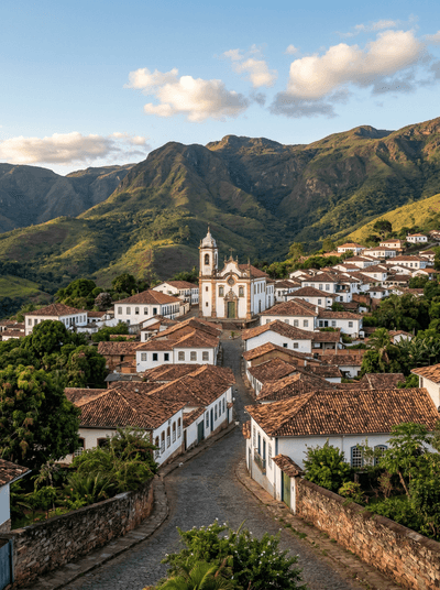
Conceição do Mato Dentro
Brazil
Three hundred and fifty-six springs rise in one park; the waterfalls below are what they become.
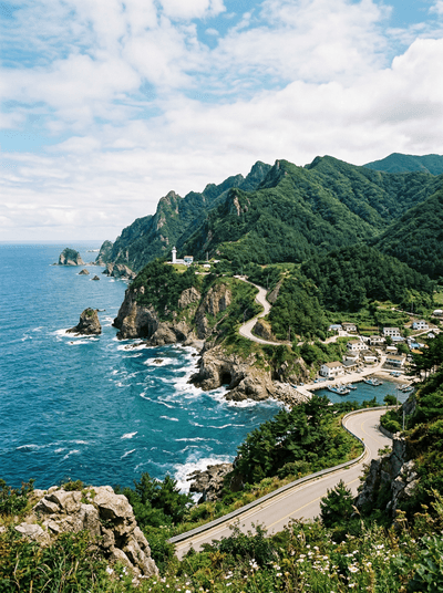
Ulleungdo
South Korea
Squid-boat lights burn at night around an island that is nearly all cliff.
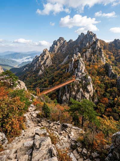
Wolchulsan
South Korea
The Cloud Bridge spans fifty-four metres of air between bare granite crags.
Jirisan
South Korea
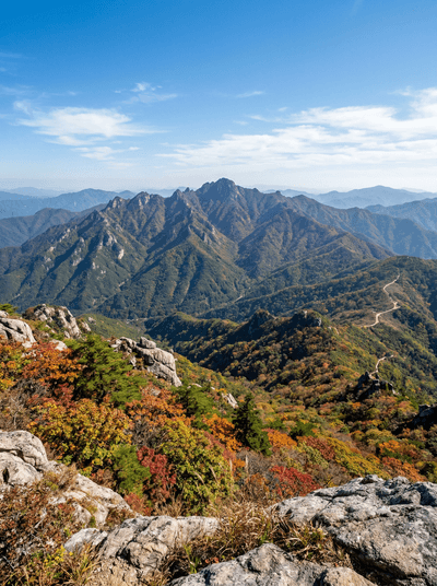
Reintroduced black bears roam beneath a forty-kilometre ridge of huts and cloud.
Saryangdo
South Korea
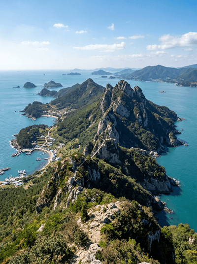
A suspension bridge sways between volcanic peaks with the strait churning far below.