Solomon Islands
Weather Coast
Guadalcanal's southern shore has no road, and the sea decides when you travel it.
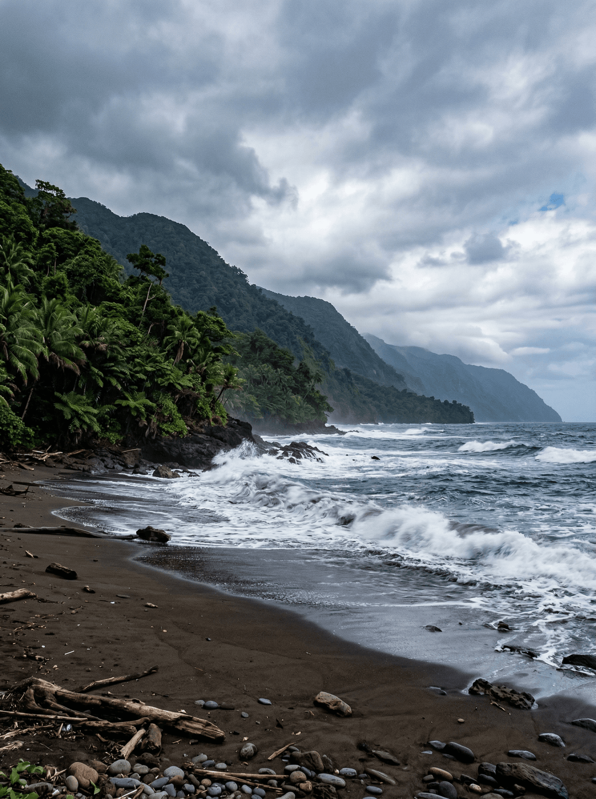
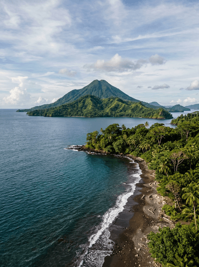
Guadalcanal’s Weather Coast faces the open Pacific with dark headlands, river mouths and villages linked more by sea than road. The voyage itself is the draw: a long southern shoreline where mountains descend almost straight into surf.
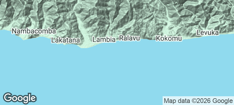
Guadalcanal's southern shore faces the open Pacific with dark headlands where waterfalls come off the mountain spine almost straight to the shore, and villages linked by sea rather than road. Motorised canoes run between Marau Sound and Honiara, and a weekly MV Haura sailing serves Marau Station, with other shipping irregular. One recorded Honiara to Weather Coast passage took 18 hours. The voyage is the experience here, and the vessel, the sea state and the return are settled locally before anyone sets out.
Solo
The route exists but runs to no timetable, so one traveller with a trusted local contact and no fixed return date has by far the easiest time of it.
Friends
A long open-sea passage is better with company, and a few people can split the canoe and watch the weather between them.
- There is no road along the Weather Coast; motorised canoes run between Marau Sound and Honiara instead.
- A weekly MV Haura sailing serves Marau Station, and other shipping is irregular.
- One recorded Honiara to Weather Coast shipping journey took 18 hours.
- Neither the canoe route nor the sailings amount to a live timetable, so vessel, sea state and return are confirmed locally.
The boat carries the food, and a village stop can add fish straight off a hand line.
Ashore it is the village plate: the day's fish with what the gardens gave.
Baengnyeongdo
South Korea
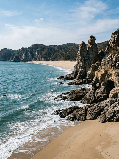
White quartzite cliffs stand twelve kilometres from North Korea's coast.
Hachijojima
Japan
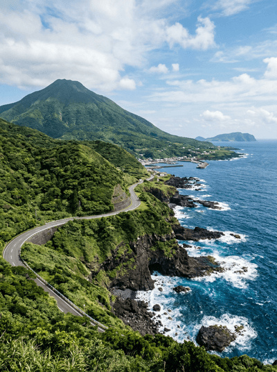
Two volcanoes wearing jungle, cliff-top onsen over the Pacific, three hundred kilometres south of Tokyo.
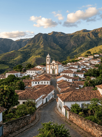
Conceição do Mato Dentro
Brazil
Three hundred and fifty-six springs rise in one park; the waterfalls below are what they become.
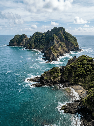
Islas Murciélago
Costa Rica
Descend into dark Pacific water where bull sharks circle — their territory, your privilege.
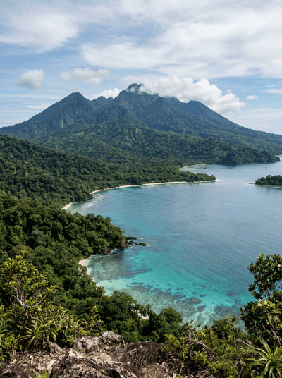
Kolombangara
Solomon Islands
A near-perfect volcanic cone with its rim broken open, and cloud forest all the way up.
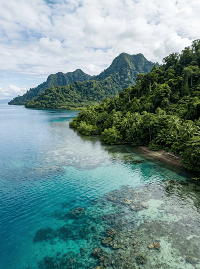
Vangunu Island
Solomon Islands
A giant rat known to Zaira's forest for generations, and to science only since 2017.
Savo Island
Solomon Islands
Megapodes bury their eggs in black sand that an active volcano keeps warm from below.