South Korea
Saryangdo
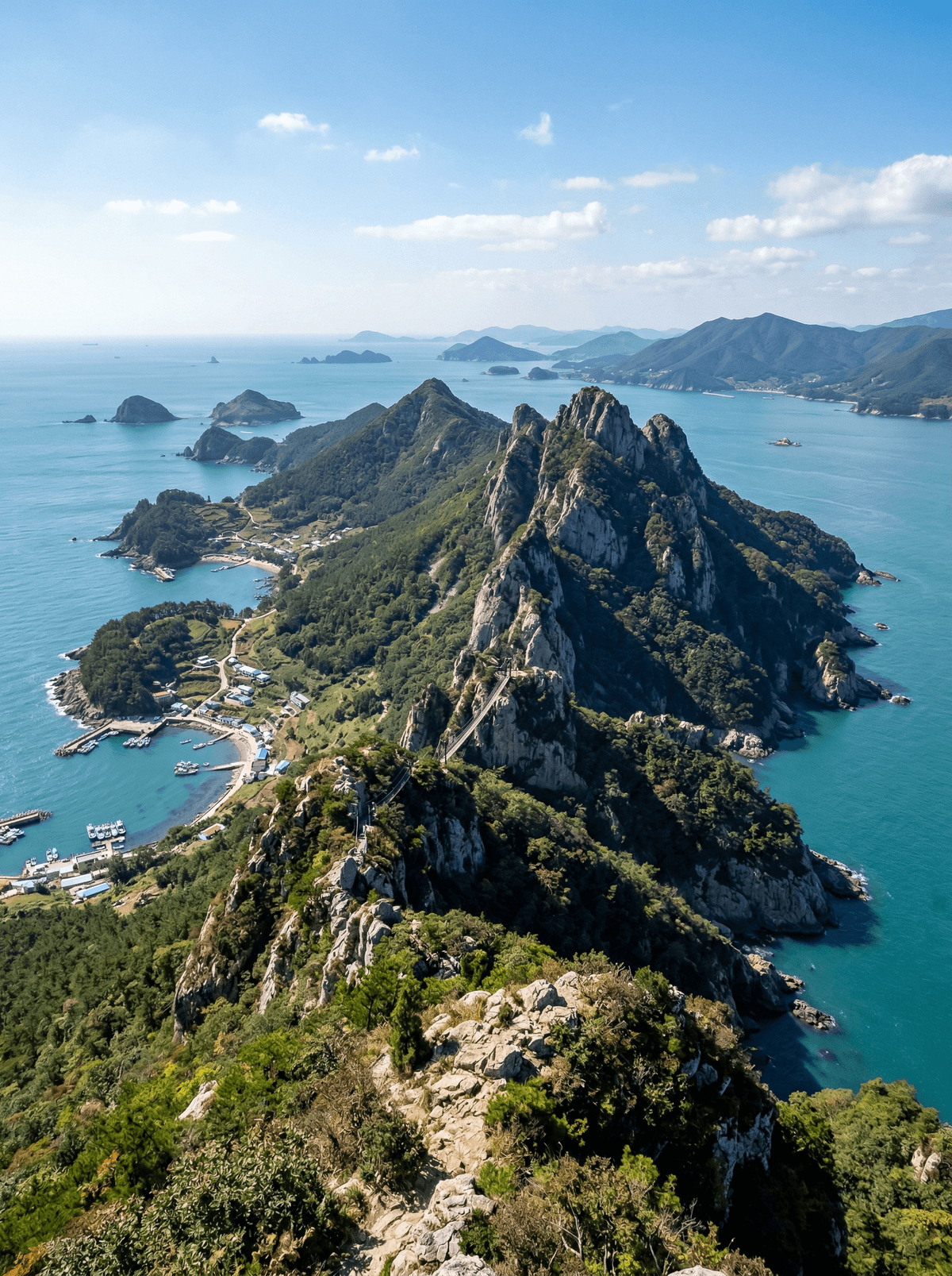
A suspension bridge sways between volcanic peaks with the strait churning far below.
The bridge sways between two peaks, the Hallyeo strait churning beneath, and ahead the ridge narrows to a cabled knife-edge above the southern sea. Saryangdo is a small island with a serious spine.
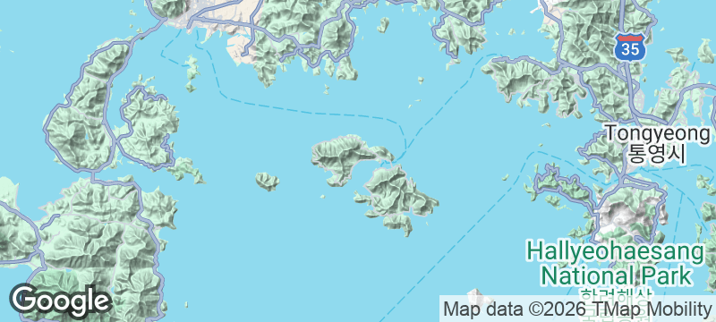
Saryangdo rises twenty ferry-minutes from Tongyeong, and its ridge traverse is the draw: three to four hours linking volcanic peaks by exposed crest, fixed cables and a suspension bridge at 380 metres, with views running island after island to the horizon. The exposure is genuine and continuous, asking for dry rock, honest self-assessment and margin enough to make the booked return sailing. The fishing settlements below feed walkers who time it right.
Solo
Experienced solo hikers gain a concentrated ridge day once ferry, forecast and emergency plan align.
Friends
A capable group can manage exposed ground together, but nobody should be pressured past their safe limit.
- The ridge traverse links volcanic peaks by cables and a swaying bridge.
- Exposure on the crest is genuine and continuous for hours.
- The suspension bridge hangs at 380 metres over the strait.
- Twenty ferry-minutes separate Tongyeong from the trailhead.
Carry a packed lunch for Saryangdo's ridge because the hike should not depend on finding an open island kitchen.
Back in Tongyeong, Gangguan's fish market and nearby restaurants make the reliable place for seafood after the return ferry.
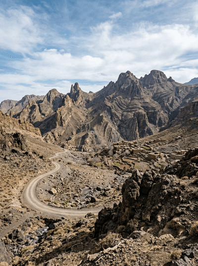
Jebel Saghro
Morocco
Black volcanic towers break a winter desert where mule trails vanish between water sources.
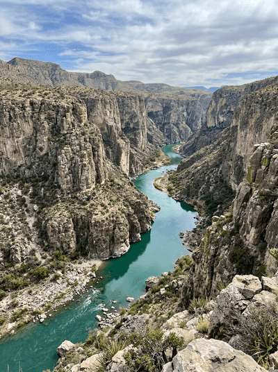
Cañón del Pegüis
Mexico
The Río Conchos cuts striped desert rock into a remote Chihuahua gorge.
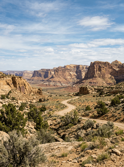
Grand Staircase-Escalante
United States
Slot canyons so narrow you turn sideways to pass through walls of swirled sandstone.
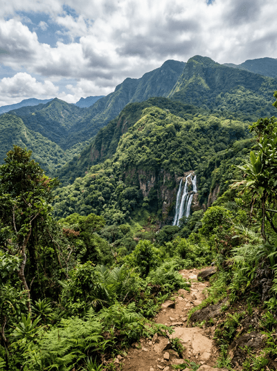
Udzungwa Mountains National Park
Tanzania
Primates unknown to science until 1979 live in these Eastern Arc forests.
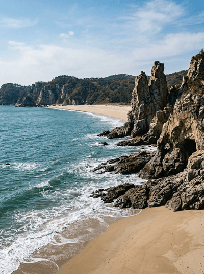
Baengnyeongdo
South Korea
White quartzite cliffs stand twelve kilometres from North Korea's coast.
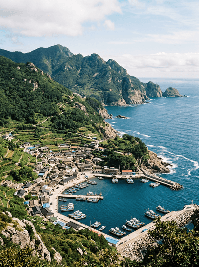
Gageodo
South Korea
Cliffs of two hundred metres guard South Korea's southwesternmost inhabited island.
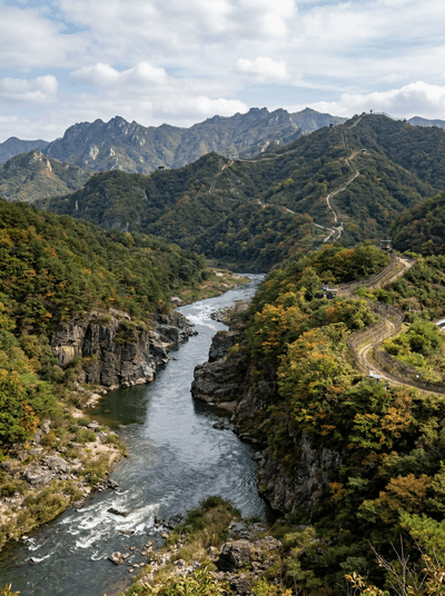
Cheorwon
South Korea
Red-crowned cranes winter by the thousand on the border's rice plain.
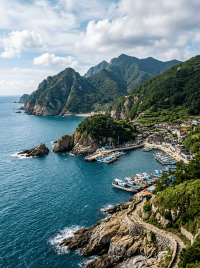
Heuksando
South Korea
The island's signature dish is fermented skate strong enough to make grown eaters gasp.