
Pakistan
Broghil Valley
Wakhi yak herders camp where Pakistan nearly touches Tajikistan across Afghanistan's thin Wakhan strip.
Felt-roofed shelters dot a treeless valley so high and so far north that Pakistan, Afghanistan, and Tajikistan are all within a day's walk. Wakhi women bake flatbread over dried yak dung while their herds graze on stubble at 3,800 metres. The wind carries no sound of engines. It carries the sound of absolutely nothing.
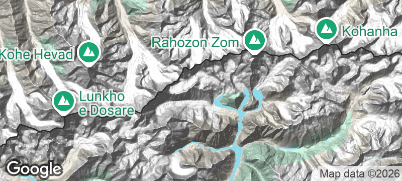
Broghil Valley lies in the uppermost reaches of Chitral district, where Pakistan's territory narrows to a sliver between Afghanistan's Wakhan Corridor and the Pamir mountains. The valley is home to the Wakhi people — semi-nomadic yak herders whose seasonal migrations follow grass and snowmelt across passes exceeding 4,000 metres. Darkot Pass, at the valley's eastern end, historically connected Chitral to Gilgit and saw use as a military and trade route for centuries. The landscape is stark alpine grassland — no trees grow at this altitude, and the nearest paved road is several days' journey south. Broghil is accessible only in summer, typically July through September, when the snow retreats enough to allow passage. The Pakistan government declared it a national park in 2010, protecting its ibex, Marco Polo sheep, and snow leopard populations.
Solo
Broghil is about as far from everything as Pakistan gets — a place where the reward is total immersion in a way of life unchanged for centuries. Solo travellers with expedition experience will find genuine remoteness here.
Friends
A multi-day trek through yak-herding country at the junction of three nations — Broghil is the kind of shared hardship that cements lifelong friendships.
- The valley lies within 30 kilometres of the Wakhan Corridor — the thin strip of Afghanistan that separates Pakistan from Tajikistan — creating one of the world's most intricate border geometries.
- Wakhi herders cross from Tajikistan and Afghanistan seasonally with yak herds — the valley is a meeting point for three nationalities with no formal crossing.
- The Chiantar Glacier at the valley's head feeds the Yarkhun River, which flows south into the Chitral River and eventually joins the Indus.
- Access from Lower Chitral takes two days on one of Pakistan's most remote roads — the valley has no regular transport and few facilities.
Yak butter tea sipped in felt-lined shelters while women bake flatbread over dried dung fires.
Dried mulberries and walnuts — the trail provisions of Wakhi shepherds crossing between seasonal pastures.

Ribeira da Torre
Cape Verde
A valley so narrow the sun only touches the riverbed for a few hours each day.

Taferdouste
Morocco
A canyon carved through pink quartzite where prehistoric rock carvings line the river bank.

Stuðlagil Canyon
Iceland
A turquoise glacial river surging through geometric towers of perfectly hexagonal basalt.

Canyonlands
United States
The Colorado and Green Rivers fracture the Earth into a labyrinth of mesas with no bottom.

Astola Island
Pakistan
Pakistan's largest island — uninhabited, unreachable half the year, ringed by water so clear it aches.

Hingol National Park
Pakistan
Wind-carved rock pillars resembling alien temples standing guard over Pakistan's most surreal coastline.

Peshawar
Pakistan
Copper-pot green tea in the Bazaar of Storytellers where Pashtun merchants have traded for millennia.

Kund Malir
Pakistan
Golden sand meeting turquoise Arabian Sea with not a single structure from horizon to horizon.